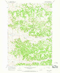
1967 Map of Yager Butte
USGS Topo · Published 1969About this map
Custer National Forest lands dominate this high-plains landscape in southeastern Montana, where a complex network of springs and reservoirs supported cattle ranching and land management in the late 1960s. The terrain is defined by dramatic geological features like Yager Butte and Chimney Rock, which rise above the drainages of Tenmile Creek and Shorty Creek. For local history and genealogy, the map provides a precise record of water infrastructure essential to this arid region, including named locations like Ottesen Spring, Coal Creek Spring, and Harriet Spring No 1. Evidence of fire management and early forest oversight is centered at the Lookout Tower on a prominent ridge near Yager Gulch. The prevalence of small catchments like Cloudburst Reservoir and Two Buck Reservoir illustrates the careful management of the watershed across this portion of Powder River County.
Find a feature on this map
49 named features on this map. Tap any name to fly to it.
Don’t see what you’re looking for? This feature index may not catch every label — zoom into the map to look around manually.
Map Details
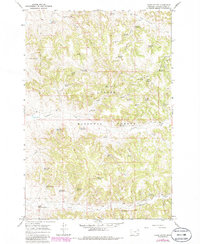
Editions of this 1967 Yager Butte Map
2 editions found
Other maps of this area

1954 · Hardin
USGS Topo · 1:250,000

1954 · Ekalaka
USGS Topo · 1:250,000

1956 · Ekalaka
USGS Topo · 1:250,000

1957 · Hardin
USGS Topo · 1:250,000

1958 · Ekalaka
USGS Topo · 1:250,000

1958 · Hardin
USGS Topo · 1:250,000

1965 · Ekalaka
USGS Topo · 1:250,000

1966 · Goodspeed Butte
USGS Topo · 1:24,000

1966 · Coleman Draw
USGS Topo · 1:24,000

1966 · Home Creek Butte
USGS Topo · 1:24,000