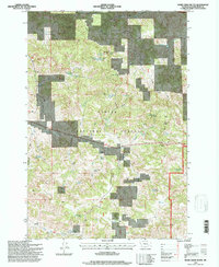
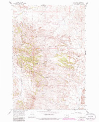
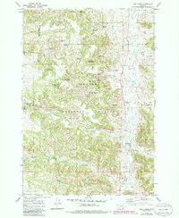
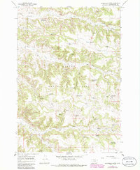
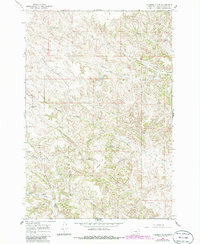
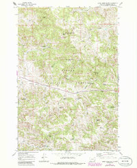
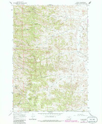
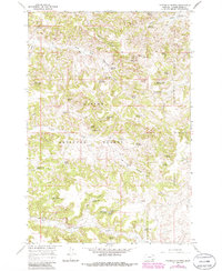
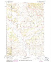
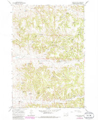
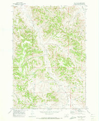
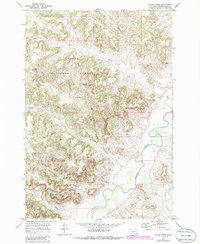
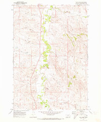
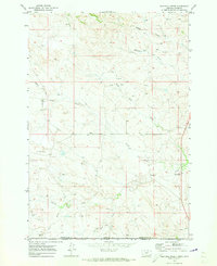
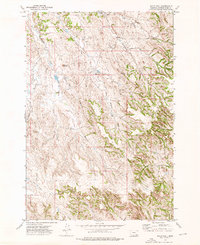
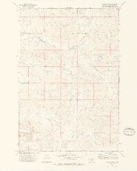
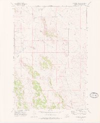
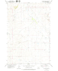
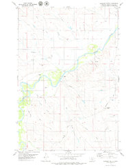
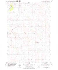
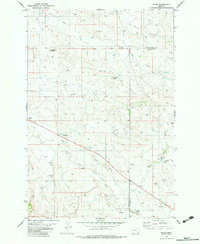
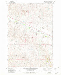
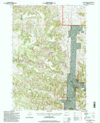
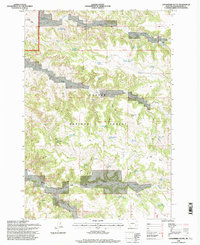
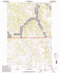
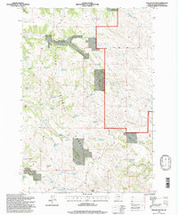
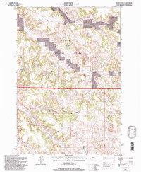
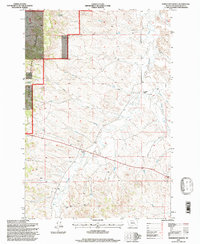
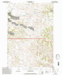
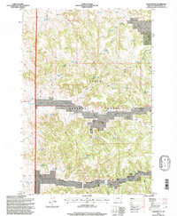
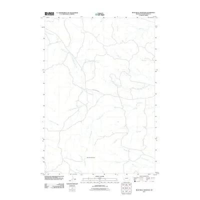
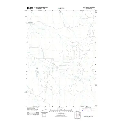
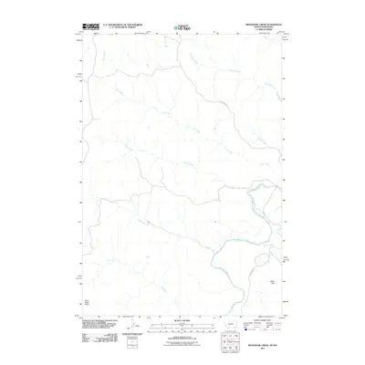
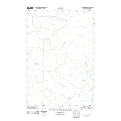
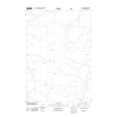
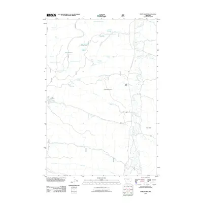
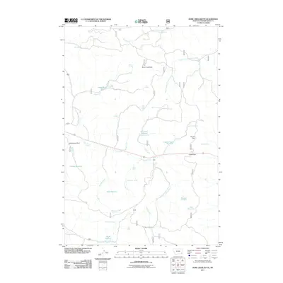
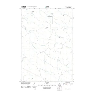
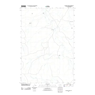
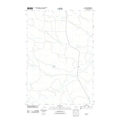
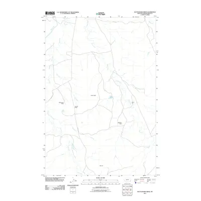
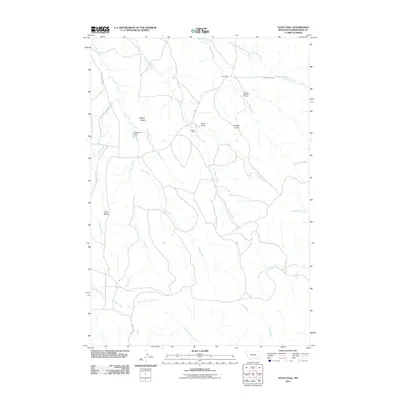
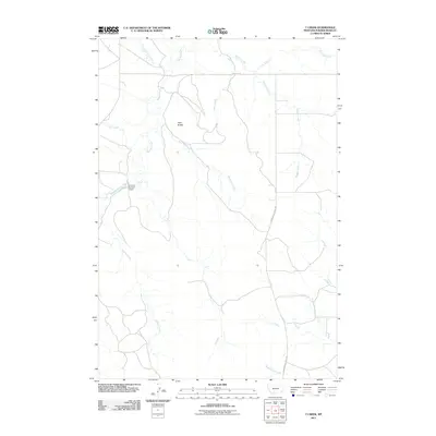
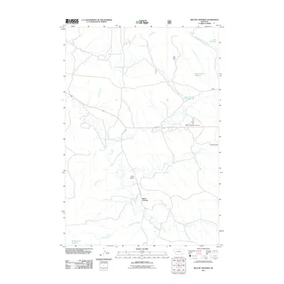
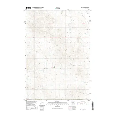
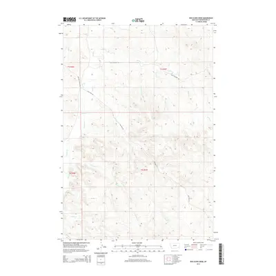
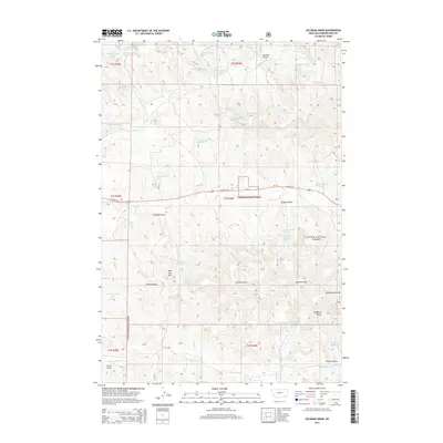
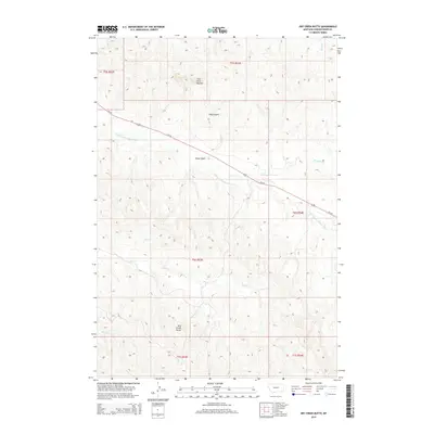
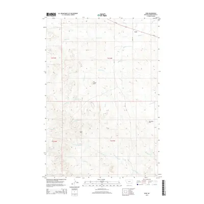
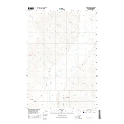
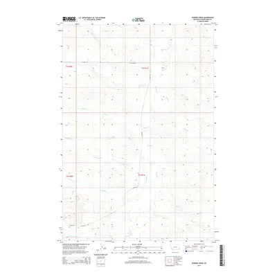
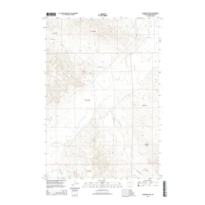
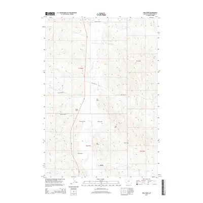
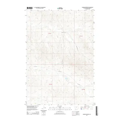
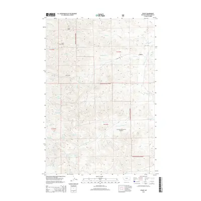
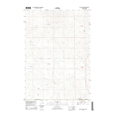
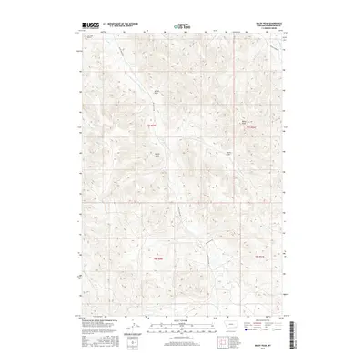
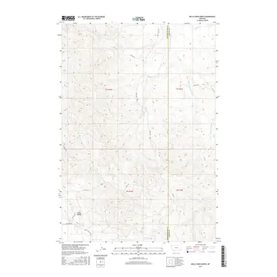
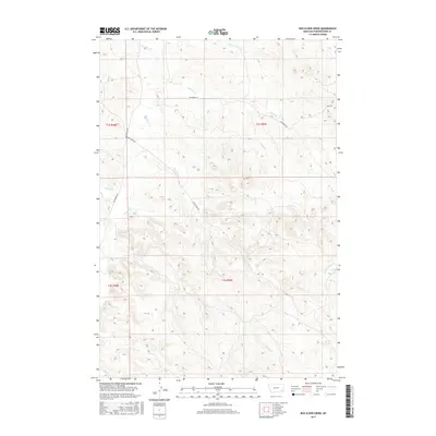
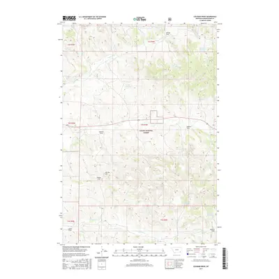
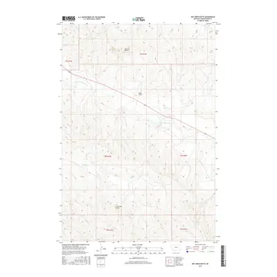
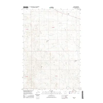
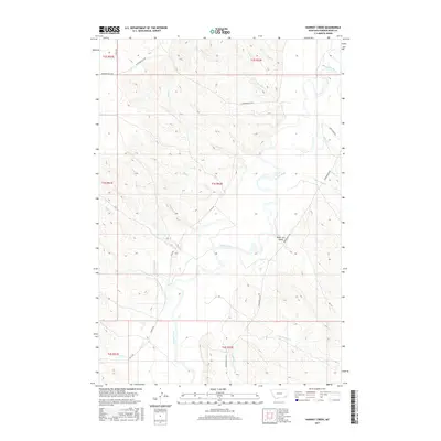
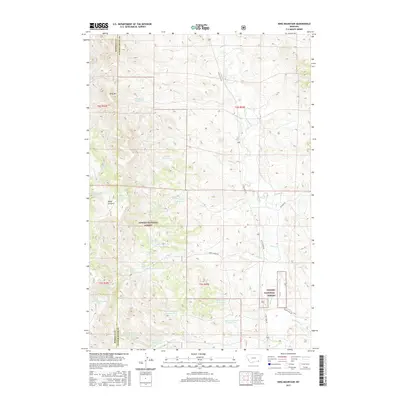
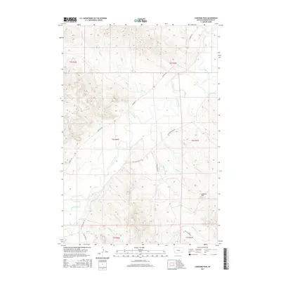
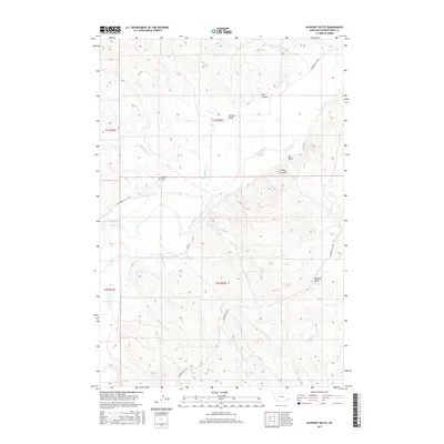
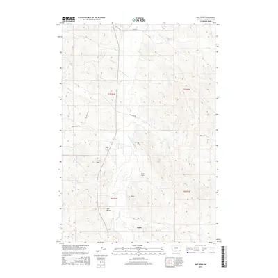
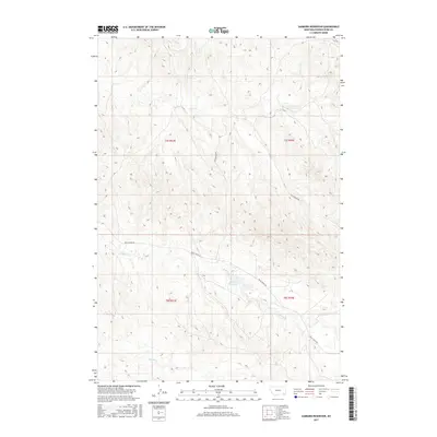
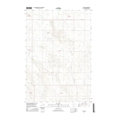
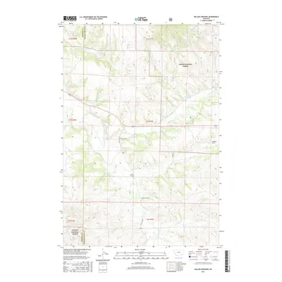
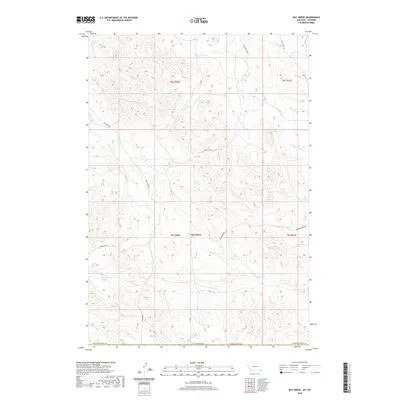
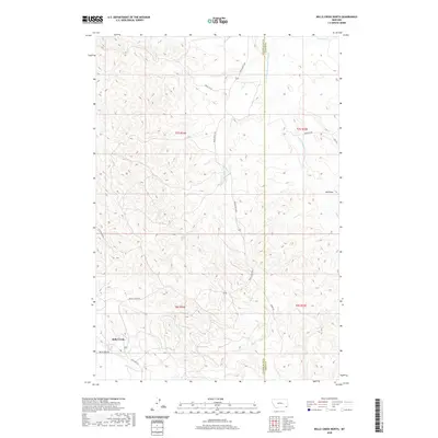
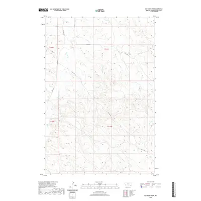
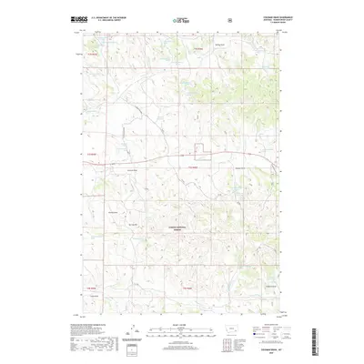
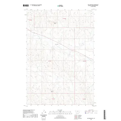
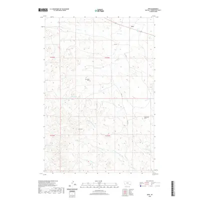
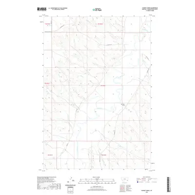
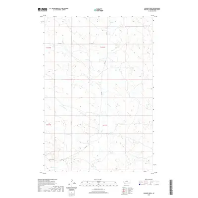
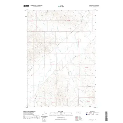
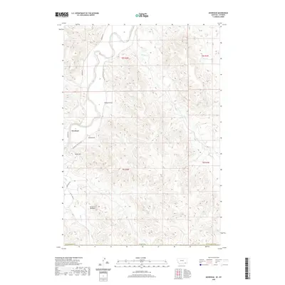
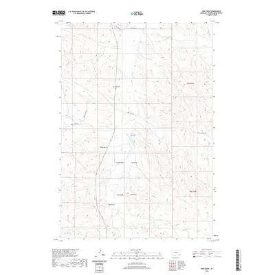
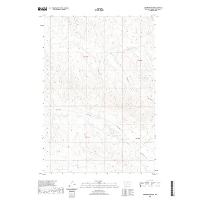
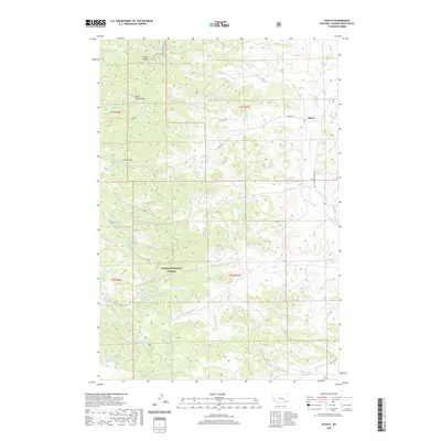
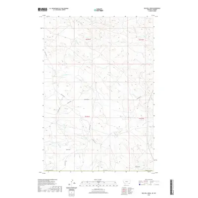
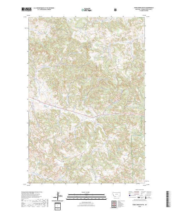
1995 Map of Home Creek Butte
USGS Topo · Published 1999About this map
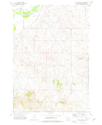
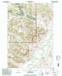
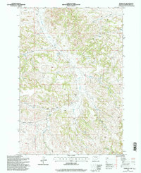
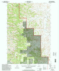
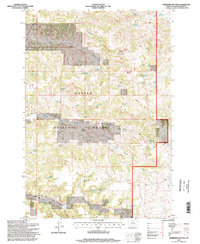
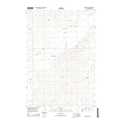
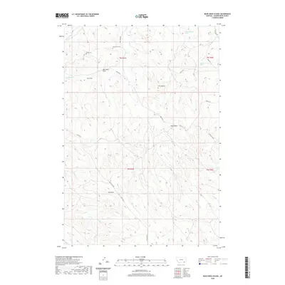
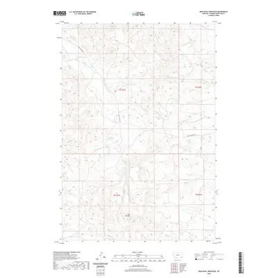
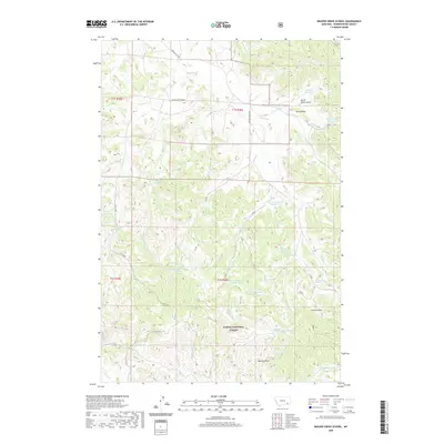
Custer National Forest lands dominate this mid-1990s survey of the Powder River region, where the terrain is defined by complex drainage systems and high points like Home Creek Butte. The landscape is a network of named springs and reservoirs vital to the high plains environment, including Hanson Spring, Lemonade Spring, and the Wilber Creek Reservoir system. These water sources, often associated with family or local names, illustrate the infrastructure required for ranching and forest management in this part of Montana.
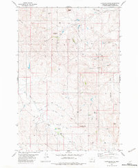
Find a feature on this map
37 named features on this map. Tap any name to fly to it.
Don’t see what you’re looking for? This feature index may not catch every label — zoom into the map to look around manually.
Map Details
Editions of this 1995 Home Creek Butte Map
This is the sole edition of this map. No revisions or reprints were ever made.
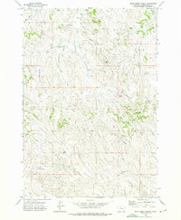
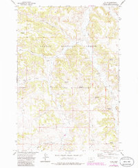
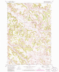
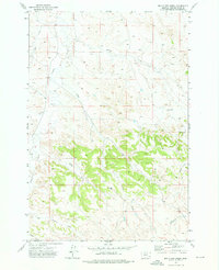
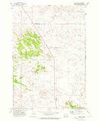
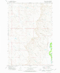
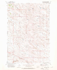
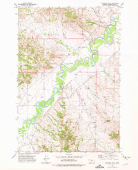
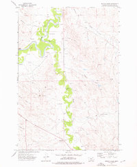
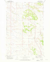
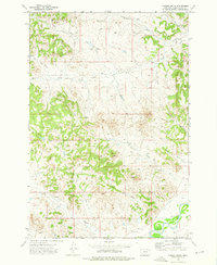
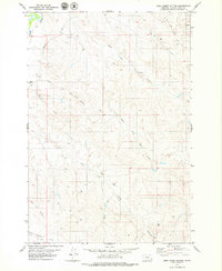
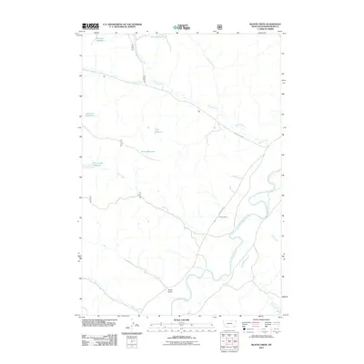
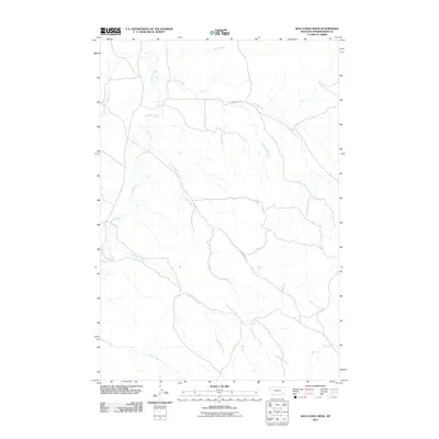
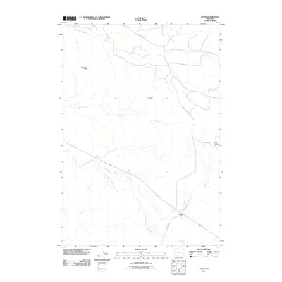
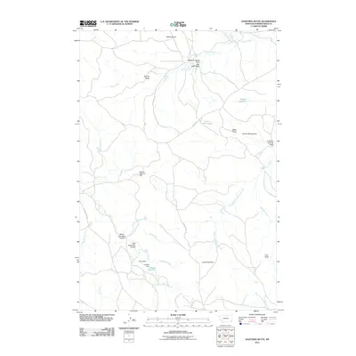
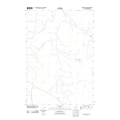
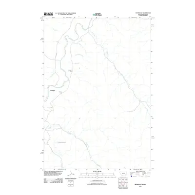
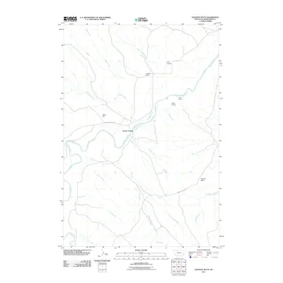
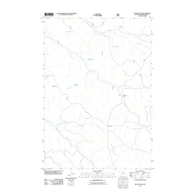
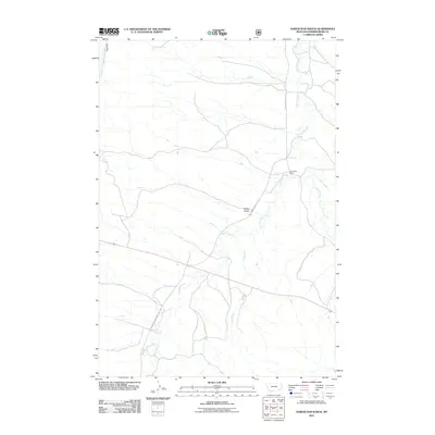
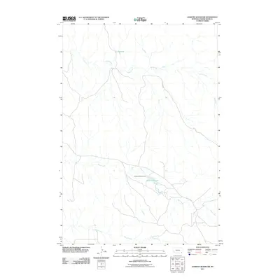
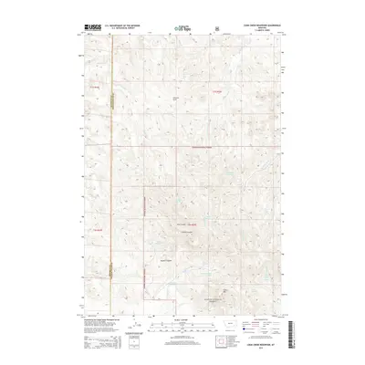
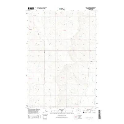
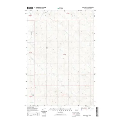
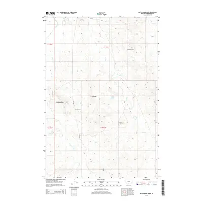
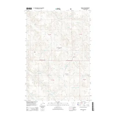
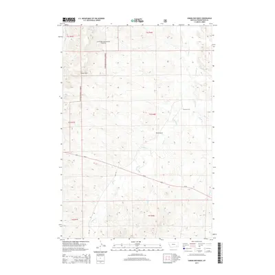
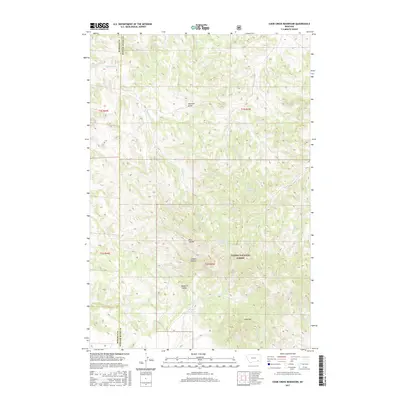
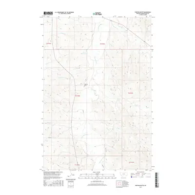
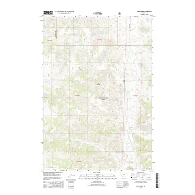
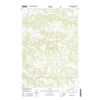
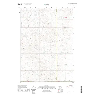
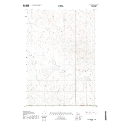
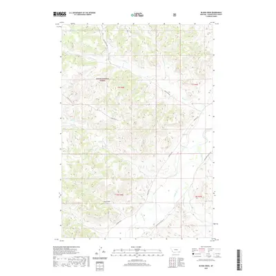
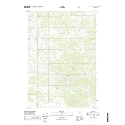
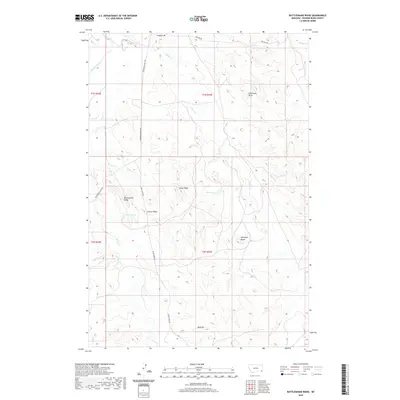
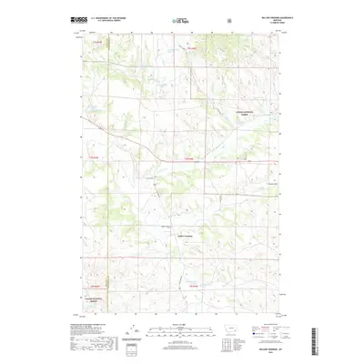
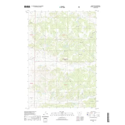
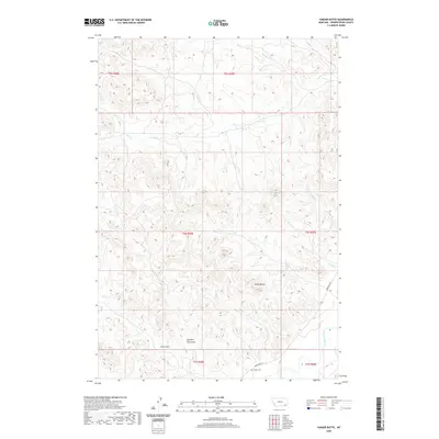
Historical Maps of Powder River County Through Time
368 maps found
1966 Beaver Creek School
Powder River County, MT
1966 Coleman Draw
Powder River County, MT
1966 Cook Creek Reservoir
Powder River County, MT
1966 Elk Ridge
Powder River County, MT
1966 Fort Howes
Powder River County, MT
1966 Goodspeed Butte
Powder River County, MT
1966 Hodsdon Flats
Powder River County, MT
1966 Home Creek Butte
Powder River County, MT
1966 King Mountain
Powder River County, MT
1966 Phillips Butte
Powder River County, MT

1966 Samuelson Ranch
Powder River County, MT
1966 Sonnette
Powder River County, MT
1966 Stacey
Powder River County, MT
1966 Threemile Buttes
Powder River County, MT
1966 Willow Crossing
Powder River County, MT
1967 Yager Butte
Powder River County, MT
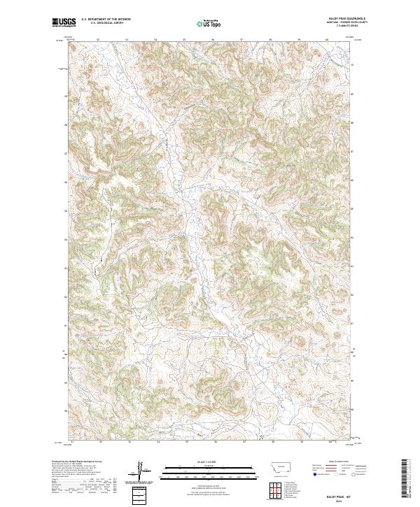
1970 Baldy Peak
Powder River County, MT

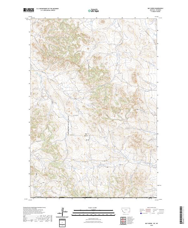
1970 Bay Horse
Powder River County, MT
1970 Bear Skull Mountain
Powder River County, MT
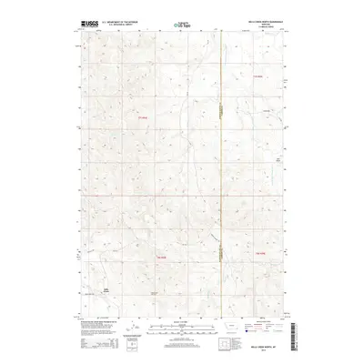
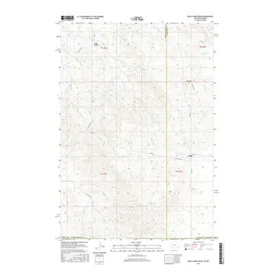
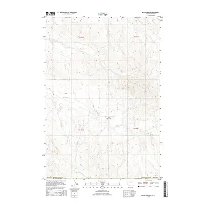
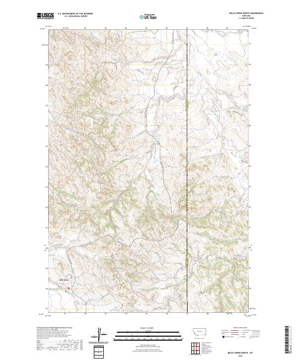
1970 Belle Creek North
Powder River County, MT

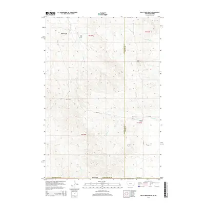
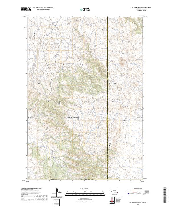
1970 Belle Creek South
Powder River County, MT
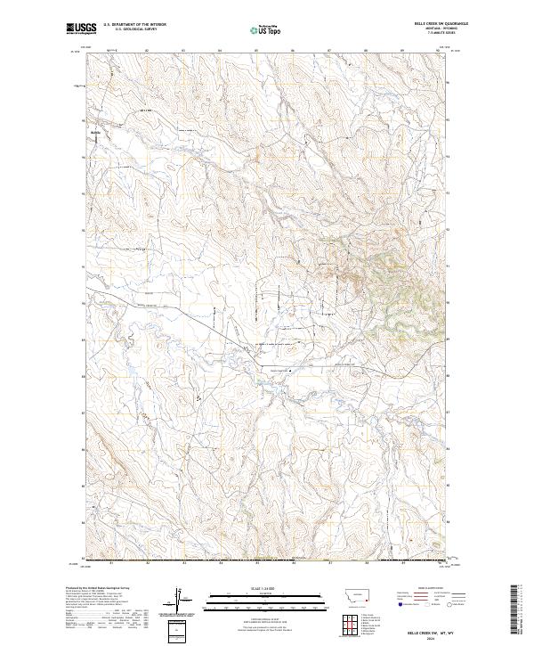
1970 Belle Creek SW
Powder River County, MT
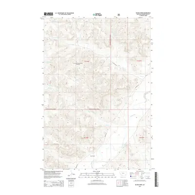
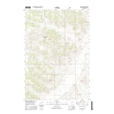
1970 Bloom Creek
Powder River County, MT
1970 Bradshaw Creek
Powder River County, MT
1970 Huckins School
Powder River County, MT
1970 Moorhead
Powder River County, MT
1970 Pine Creek
Powder River County, MT
1970 Sanburn Reservoir
Powder River County, MT
1970 Sayle
Powder River County, MT
1970 Three Bar Ranch
Powder River County, MT
1970 Wild Bill Creek
Powder River County, MT
1972 Bear Creek School
Powder River County, MT
1972 Otter
Powder River County, MT
1972 Reanus Cone
Powder River County, MT
1972 Sayle Hall
Powder River County, MT
1973 Box Elder Creek
Powder River County, MT
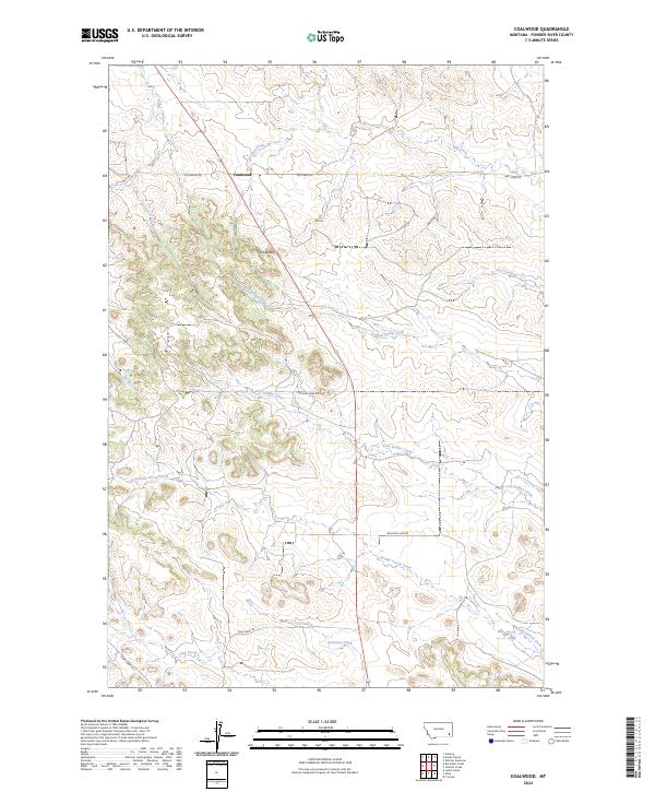
1973 Coalwood
Powder River County, MT
1973 Cross S School
Powder River County, MT
1973 Eldon Mountain
Powder River County, MT
1973 Epsie NE
Powder River County, MT
1973 Epsie
Powder River County, MT
1973 Fighting Butte
Powder River County, MT

1973 Hawkey Creek
Powder River County, MT
1973 Johnnie Creek
Powder River County, MT
1973 Leslie Creek
Powder River County, MT
1973 Lonesome Peak
Powder River County, MT
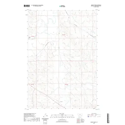
1973 Monday Creek
Powder River County, MT
1973 Moonlight Creek
Powder River County, MT
1973 Olive
Powder River County, MT
1973 Yarger Butte
Powder River County, MT
1979 Deer Creek Buttes
Powder River County, MT
1979 McKenzie Creek
Powder River County, MT
1979 Oliphant Butte
Powder River County, MT
1979 Rattlesnake Ridge
Powder River County, MT
1982 Boyes
Powder River County, MT
1982 Dry Creek Butte
Powder River County, MT
1982 Lightning Butte
Powder River County, MT
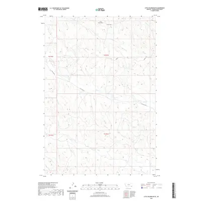
1982 Little Pilgrim Butte
Powder River County, MT
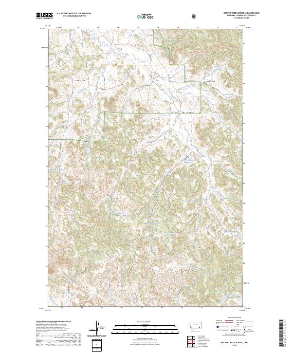
1995 Beaver Creek School
Powder River County, MT
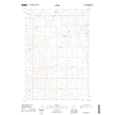
1995 Bloom Creek
Powder River County, MT
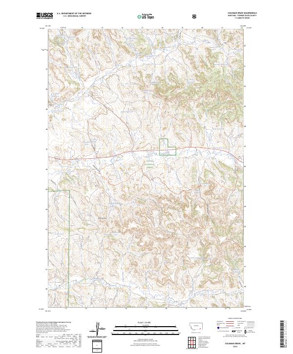
1995 Coleman Draw
Powder River County, MT
1995 Cook Creek Reservoir
Powder River County, MT
1995 Elk Ridge
Powder River County, MT
1995 Fort Howes
Powder River County, MT
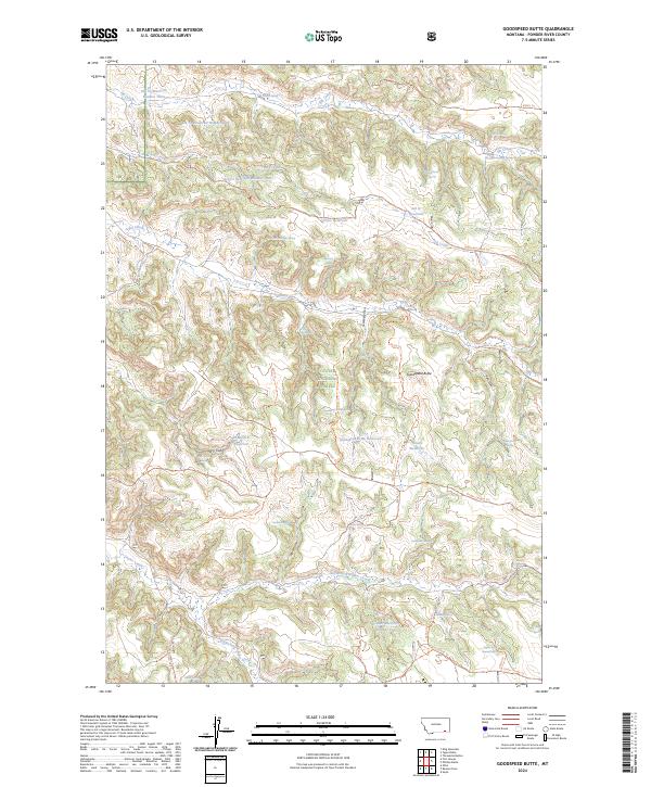
1995 Goodspeed Butte
Powder River County, MT
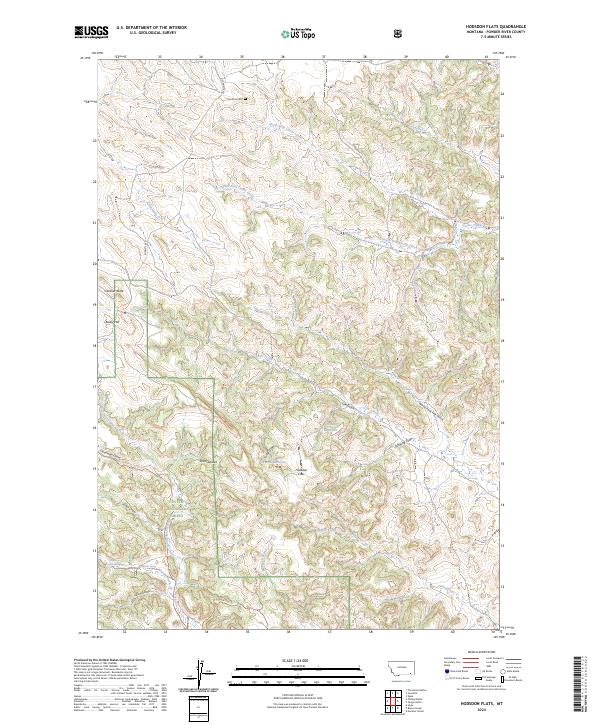
1995 Hodsdon Flats
Powder River County, MT
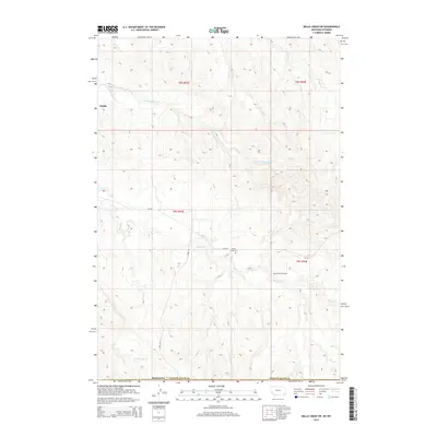
1995 Home Creek Butte
Powder River County, MT
1995 King Mountain
Powder River County, MT
1995 Otter
Powder River County, MT
1995 Phillips Butte
Powder River County, MT
1995 Reanus Cone
Powder River County, MT
1995 Samuelson Ranch
Powder River County, MT
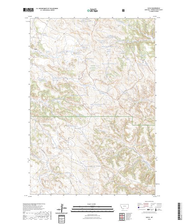
1995 Sayle
Powder River County, MT
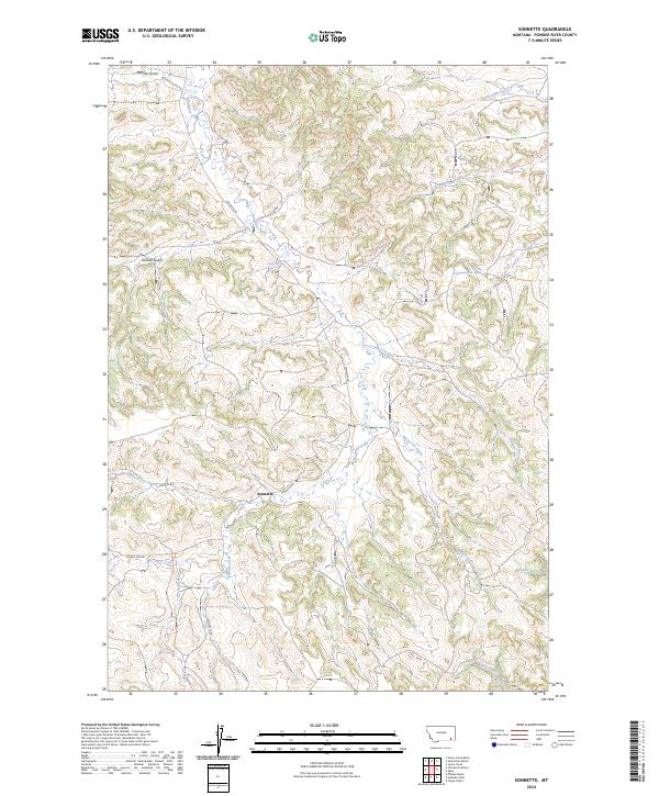
1995 Sonnette
Powder River County, MT
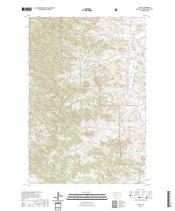
1995 Stacey
Powder River County, MT
1995 Threemile Buttes
Powder River County, MT

1995 Willow Crossing
Powder River County, MT
1995 Yager Butte
Powder River County, MT
2011 Baldy Peak
Powder River County, MT
2011 Bay Horse
Powder River County, MT
2011 Bear Creek School
Powder River County, MT
2011 Bear Skull Mountain
Powder River County, MT
2011 Beaver Creek School
Powder River County, MT
2011 Belle Creek North
Powder River County, MT
2011 Belle Creek South
Powder River County, MT
2011 Belle Creek SW
Powder River County, MT
2011 Bloom Creek
Powder River County, MT
2011 Box Elder Creek
Powder River County, MT
2011 Boyes
Powder River County, MT
2011 Bradshaw Creek
Powder River County, MT
2011 Coalwood
Powder River County, MT
2011 Coleman Draw
Powder River County, MT
2011 Cook Creek Reservoir
Powder River County, MT
2011 Cross S School
Powder River County, MT
2011 Deer Creek Buttes
Powder River County, MT
2011 Dry Creek Butte
Powder River County, MT
2011 Eldon Mountain
Powder River County, MT
2011 Elk Ridge
Powder River County, MT
2011 Epsie NE
Powder River County, MT
2011 Epsie
Powder River County, MT
2011 Fighting Butte
Powder River County, MT
2011 Fort Howes
Powder River County, MT
2011 Goodspeed Butte
Powder River County, MT
2011 Hawkey Creek
Powder River County, MT
2011 Hodsdon Flats
Powder River County, MT
2011 Home Creek Butte
Powder River County, MT
2011 Huckins School
Powder River County, MT
2011 Johnnie Creek
Powder River County, MT
2011 King Mountain
Powder River County, MT
2011 Leslie Creek
Powder River County, MT
2011 Lightning Butte
Powder River County, MT
2011 Little Pilgrim Butte
Powder River County, MT
2011 Lonesome Peak
Powder River County, MT
2011 McKenzie Creek
Powder River County, MT
2011 Monday Creek
Powder River County, MT
2011 Moorhead
Powder River County, MT
2011 Oliphant Butte
Powder River County, MT
2011 Olive
Powder River County, MT
2011 Otter
Powder River County, MT
2011 Phillips Butte
Powder River County, MT
2011 Pine Creek
Powder River County, MT
2011 Rattlesnake Ridge
Powder River County, MT
2011 Reanus Cone
Powder River County, MT
2011 Samuelson Ranch
Powder River County, MT
2011 Sanburn Reservoir
Powder River County, MT
2011 Sayle Hall
Powder River County, MT
2011 Sayle
Powder River County, MT
2011 Sonnette
Powder River County, MT
2011 Stacey
Powder River County, MT
2011 T Creek
Powder River County, MT
2011 Three Bar Ranch
Powder River County, MT
2011 Threemile Buttes
Powder River County, MT
2011 Wild Bill Creek
Powder River County, MT
2011 Willow Crossing
Powder River County, MT
2011 Yager Butte
Powder River County, MT
2011 Yarger Butte
Powder River County, MT
2014 Baldy Peak
Powder River County, MT
2014 Bay Horse
Powder River County, MT
2014 Bear Creek School
Powder River County, MT
2014 Bear Skull Mountain
Powder River County, MT
2014 Beaver Creek School
Powder River County, MT
2014 Belle Creek North
Powder River County, MT
2014 Belle Creek South
Powder River County, MT
2014 Belle Creek SW
Powder River County, MT
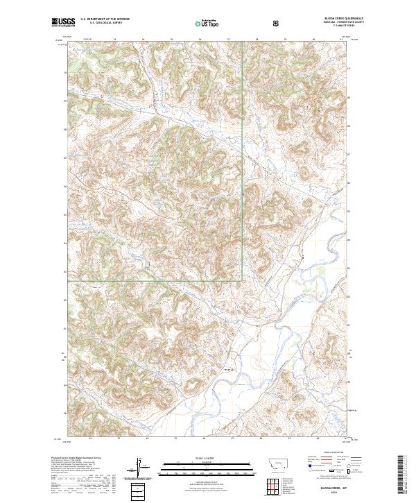
2014 Bloom Creek
Powder River County, MT
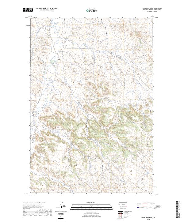
2014 Box Elder Creek
Powder River County, MT
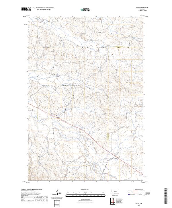
2014 Boyes
Powder River County, MT
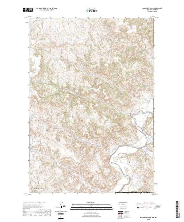
2014 Bradshaw Creek
Powder River County, MT
2014 Coalwood
Powder River County, MT
2014 Coleman Draw
Powder River County, MT
2014 Cook Creek Reservoir
Powder River County, MT
2014 Cross S School
Powder River County, MT
2014 Deer Creek Buttes
Powder River County, MT
2014 Dry Creek Butte
Powder River County, MT
2014 Eldon Mountain
Powder River County, MT
2014 Elk Ridge
Powder River County, MT
2014 Epsie NE
Powder River County, MT
2014 Epsie
Powder River County, MT
2014 Fighting Butte
Powder River County, MT
2014 Fort Howes
Powder River County, MT
2014 Goodspeed Butte
Powder River County, MT
2014 Hawkey Creek
Powder River County, MT
2014 Hodsdon Flats
Powder River County, MT
2014 Home Creek Butte
Powder River County, MT
2014 Huckins School
Powder River County, MT
2014 Johnnie Creek
Powder River County, MT

2014 King Mountain
Powder River County, MT
2014 Leslie Creek
Powder River County, MT
2014 Lightning Butte
Powder River County, MT
2014 Little Pilgrim Butte
Powder River County, MT
2014 Lonesome Peak
Powder River County, MT
2014 McKenzie Creek
Powder River County, MT
2014 Monday Creek
Powder River County, MT
2014 Moorhead
Powder River County, MT
2014 Oliphant Butte
Powder River County, MT
2014 Olive
Powder River County, MT
2014 Otter
Powder River County, MT
2014 Phillips Butte
Powder River County, MT
2014 Pine Creek
Powder River County, MT
2014 Rattlesnake Ridge
Powder River County, MT
2014 Reanus Cone
Powder River County, MT
2014 Samuelson Ranch
Powder River County, MT
2014 Sanburn Reservoir
Powder River County, MT
2014 Sayle Hall
Powder River County, MT
2014 Sayle
Powder River County, MT
2014 Sonnette
Powder River County, MT
2014 Stacey
Powder River County, MT
2014 T Creek
Powder River County, MT
2014 Three Bar Ranch
Powder River County, MT
2014 Threemile Buttes
Powder River County, MT
2014 Wild Bill Creek
Powder River County, MT
2014 Willow Crossing
Powder River County, MT
2014 Yager Butte
Powder River County, MT
2014 Yarger Butte
Powder River County, MT
2017 Baldy Peak
Powder River County, MT
2017 Bay Horse
Powder River County, MT
2017 Bear Creek School
Powder River County, MT

2017 Bear Skull Mountain
Powder River County, MT
2017 Beaver Creek School
Powder River County, MT
2017 Belle Creek North
Powder River County, MT
2017 Belle Creek South
Powder River County, MT
2017 Belle Creek SW
Powder River County, MT
2017 Bloom Creek
Powder River County, MT
2017 Box Elder Creek
Powder River County, MT
2017 Boyes
Powder River County, MT
2017 Bradshaw Creek
Powder River County, MT
2017 Coalwood
Powder River County, MT
2017 Coleman Draw
Powder River County, MT
2017 Cook Creek Reservoir
Powder River County, MT
2017 Cross S School
Powder River County, MT
2017 Deer Creek Buttes
Powder River County, MT
2017 Dry Creek Butte
Powder River County, MT
2017 Eldon Mountain
Powder River County, MT
2017 Elk Ridge
Powder River County, MT
2017 Epsie NE
Powder River County, MT
2017 Epsie
Powder River County, MT
2017 Fighting Butte
Powder River County, MT
2017 Fort Howes
Powder River County, MT
2017 Goodspeed Butte
Powder River County, MT
2017 Hawkey Creek
Powder River County, MT
2017 Hodsdon Flats
Powder River County, MT
2017 Home Creek Butte
Powder River County, MT

2017 Huckins School
Powder River County, MT
2017 Johnnie Creek
Powder River County, MT
2017 King Mountain
Powder River County, MT
2017 Leslie Creek
Powder River County, MT
2017 Lightning Butte
Powder River County, MT
2017 Little Pilgrim Butte
Powder River County, MT
2017 Lonesome Peak
Powder River County, MT
2017 McKenzie Creek
Powder River County, MT
2017 Monday Creek
Powder River County, MT
2017 Moorhead
Powder River County, MT
2017 Oliphant Butte
Powder River County, MT
2017 Olive
Powder River County, MT
2017 Otter
Powder River County, MT
2017 Phillips Butte
Powder River County, MT
2017 Pine Creek
Powder River County, MT
2017 Rattlesnake Ridge
Powder River County, MT
2017 Reanus Cone
Powder River County, MT
2017 Samuelson Ranch
Powder River County, MT
2017 Sanburn Reservoir
Powder River County, MT
2017 Sayle Hall
Powder River County, MT
2017 Sayle
Powder River County, MT
2017 Sonnette
Powder River County, MT

2017 Stacey
Powder River County, MT
2017 T Creek
Powder River County, MT
2017 Three Bar Ranch
Powder River County, MT
2017 Threemile Buttes
Powder River County, MT
2017 Wild Bill Creek
Powder River County, MT
2017 Willow Crossing
Powder River County, MT
2017 Yager Butte
Powder River County, MT
2017 Yarger Butte
Powder River County, MT
2020 Baldy Peak
Powder River County, MT
2020 Bay Horse
Powder River County, MT
2020 Bear Creek School
Powder River County, MT
2020 Bear Skull Mountain
Powder River County, MT
2020 Beaver Creek School
Powder River County, MT
2020 Belle Creek North
Powder River County, MT
2020 Belle Creek South
Powder River County, MT
2020 Belle Creek SW
Powder River County, MT
2020 Bloom Creek
Powder River County, MT
2020 Box Elder Creek
Powder River County, MT
2020 Boyes
Powder River County, MT
2020 Bradshaw Creek
Powder River County, MT
2020 Coalwood
Powder River County, MT
2020 Coleman Draw
Powder River County, MT
2020 Cook Creek Reservoir
Powder River County, MT
2020 Cross S School
Powder River County, MT
2020 Deer Creek Buttes
Powder River County, MT
2020 Dry Creek Butte
Powder River County, MT
2020 Eldon Mountain
Powder River County, MT
2020 Elk Ridge
Powder River County, MT
2020 Epsie NE
Powder River County, MT
2020 Epsie
Powder River County, MT
2020 Fighting Butte
Powder River County, MT
2020 Fort Howes
Powder River County, MT
2020 Goodspeed Butte
Powder River County, MT
2020 Hawkey Creek
Powder River County, MT
2020 Hodsdon Flats
Powder River County, MT
2020 Home Creek Butte
Powder River County, MT
2020 Huckins School
Powder River County, MT
2020 Johnnie Creek
Powder River County, MT
2020 King Mountain
Powder River County, MT
2020 Leslie Creek
Powder River County, MT
2020 Lightning Butte
Powder River County, MT
2020 Little Pilgrim Butte
Powder River County, MT
2020 Lonesome Peak
Powder River County, MT
2020 McKenzie Creek
Powder River County, MT
2020 Monday Creek
Powder River County, MT
2020 Moorhead
Powder River County, MT
2020 Oliphant Butte
Powder River County, MT
2020 Olive
Powder River County, MT
2020 Otter
Powder River County, MT

2020 Phillips Butte
Powder River County, MT
2020 Pine Creek
Powder River County, MT
2020 Rattlesnake Ridge
Powder River County, MT
2020 Reanus Cone
Powder River County, MT
2020 Samuelson Ranch
Powder River County, MT
2020 Sanburn Reservoir
Powder River County, MT
2020 Sayle Hall
Powder River County, MT
2020 Sayle
Powder River County, MT
2020 Sonnette
Powder River County, MT
2020 Stacey
Powder River County, MT
2020 T Creek
Powder River County, MT
2020 Three Bar Ranch
Powder River County, MT
2020 Threemile Buttes
Powder River County, MT
2020 Wild Bill Creek
Powder River County, MT
2020 Willow Crossing
Powder River County, MT
2020 Yager Butte
Powder River County, MT
2020 Yarger Butte
Powder River County, MT
2024 Baldy Peak
Powder River County, MT
2024 Bay Horse
Powder River County, MT
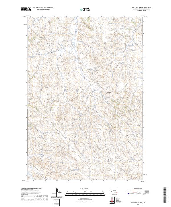
2024 Bear Creek School
Powder River County, MT
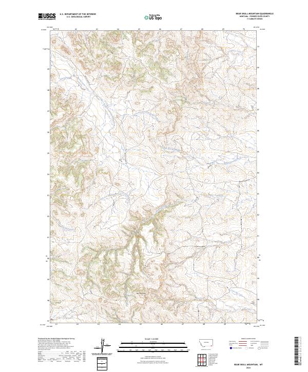
2024 Bear Skull Mountain
Powder River County, MT
2024 Beaver Creek School
Powder River County, MT
2024 Belle Creek North
Powder River County, MT
2024 Belle Creek South
Powder River County, MT
2024 Belle Creek SW
Powder River County, MT
2024 Bloom Creek
Powder River County, MT
2024 Box Elder Creek
Powder River County, MT
2024 Boyes
Powder River County, MT
2024 Bradshaw Creek
Powder River County, MT
2024 Coalwood
Powder River County, MT
2024 Coleman Draw
Powder River County, MT
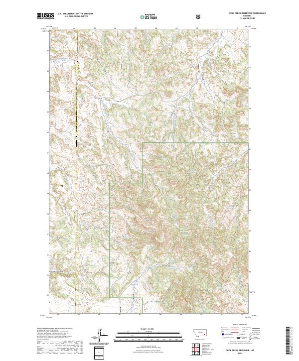
2024 Cook Creek Reservoir
Powder River County, MT
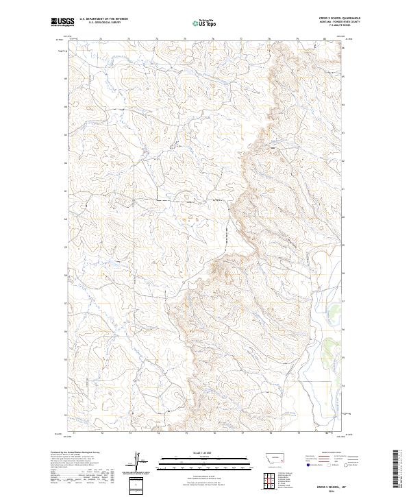
2024 Cross S School
Powder River County, MT
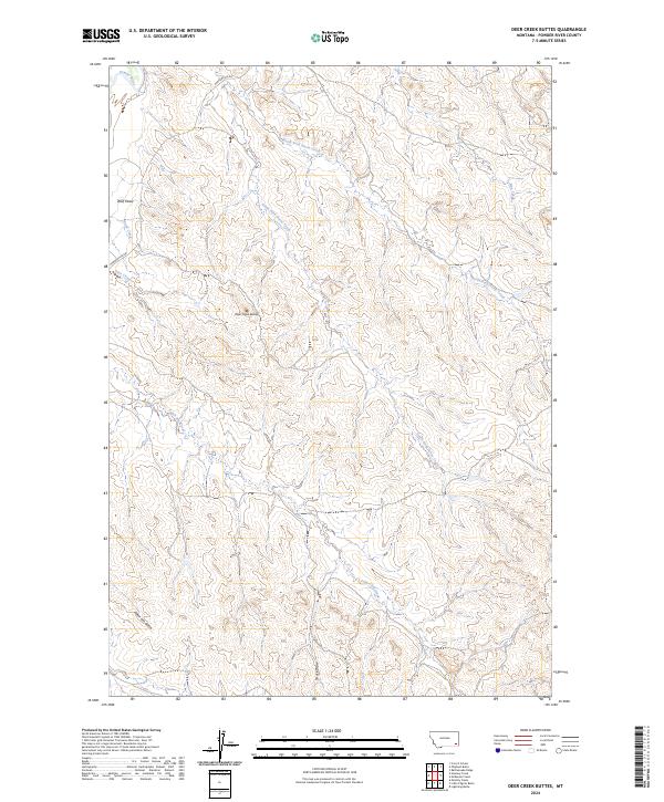
2024 Deer Creek Buttes
Powder River County, MT
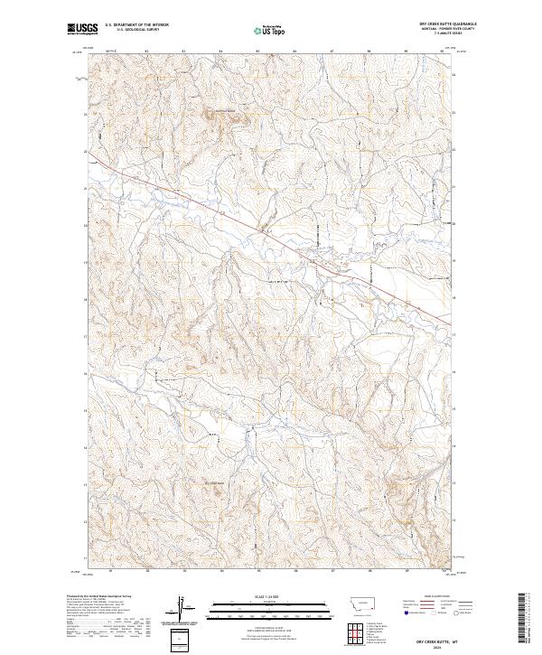
2024 Dry Creek Butte
Powder River County, MT
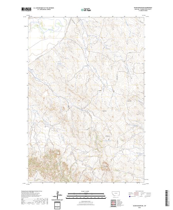
2024 Eldon Mountain
Powder River County, MT
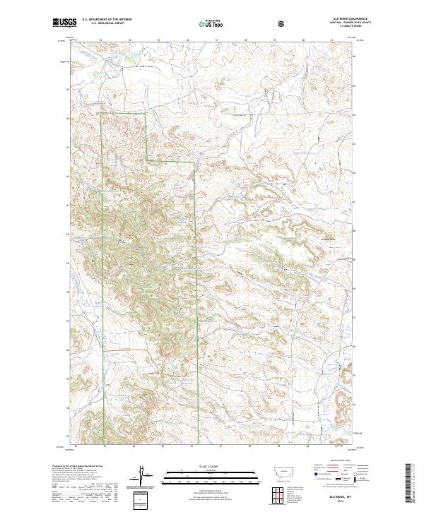
2024 Elk Ridge
Powder River County, MT
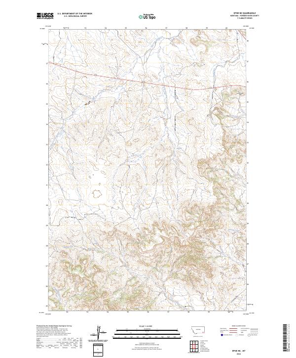
2024 Epsie NE
Powder River County, MT
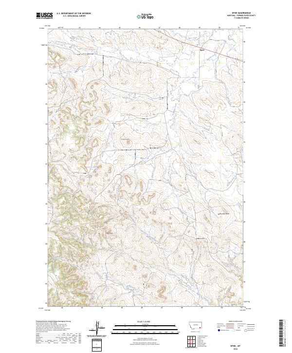
2024 Epsie
Powder River County, MT
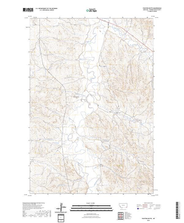
2024 Fighting Butte
Powder River County, MT
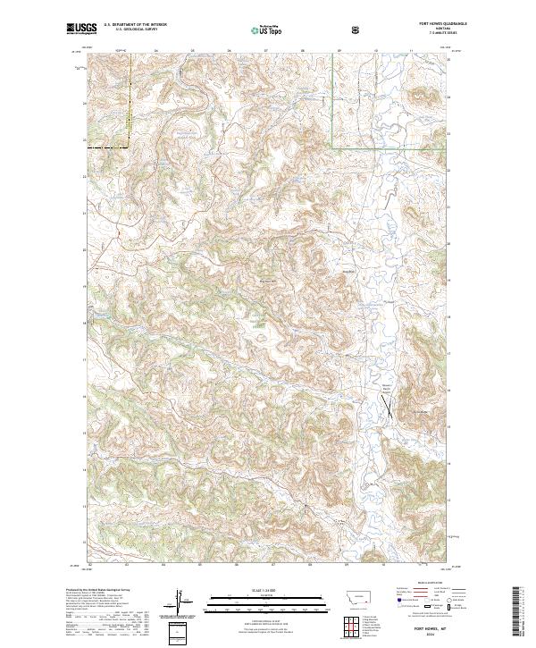
2024 Fort Howes
Powder River County, MT
2024 Goodspeed Butte
Powder River County, MT
2024 Hawkey Creek
Powder River County, MT
2024 Hodsdon Flats
Powder River County, MT
2024 Home Creek Butte
Powder River County, MT
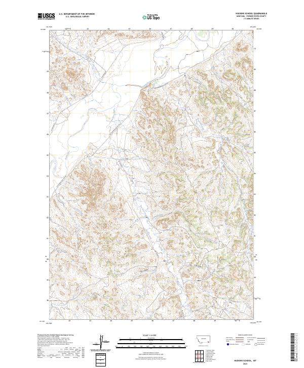
2024 Huckins School
Powder River County, MT
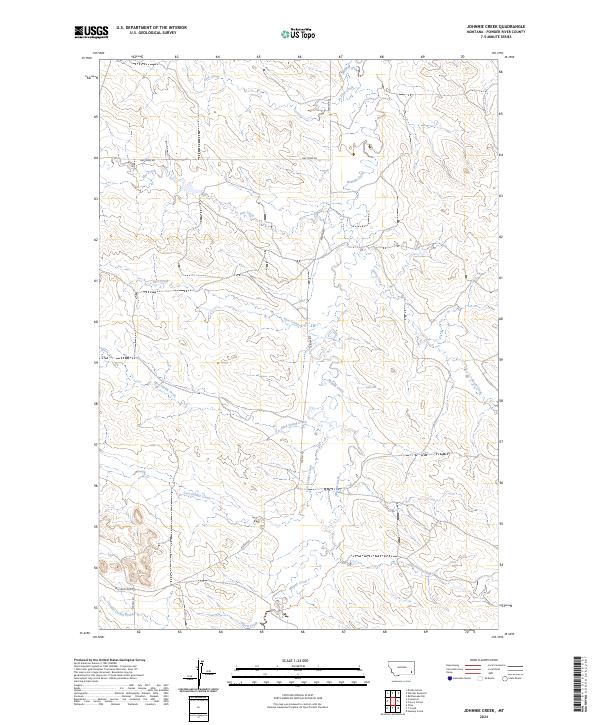
2024 Johnnie Creek
Powder River County, MT
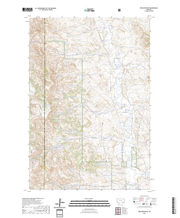
2024 King Mountain
Powder River County, MT
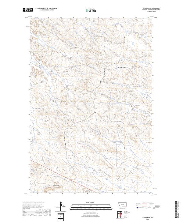
2024 Leslie Creek
Powder River County, MT
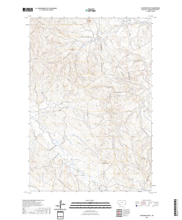
2024 Lightning Butte
Powder River County, MT
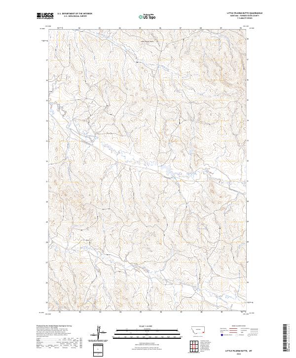
2024 Little Pilgrim Butte
Powder River County, MT
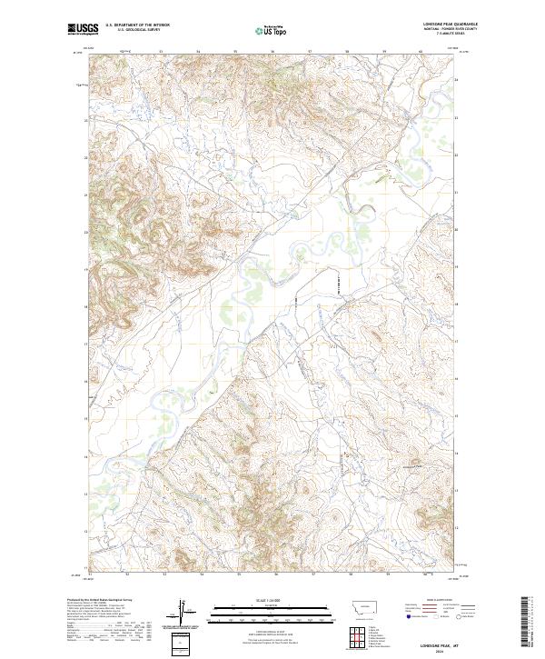
2024 Lonesome Peak
Powder River County, MT
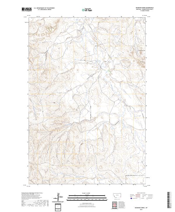
2024 McKenzie Creek
Powder River County, MT
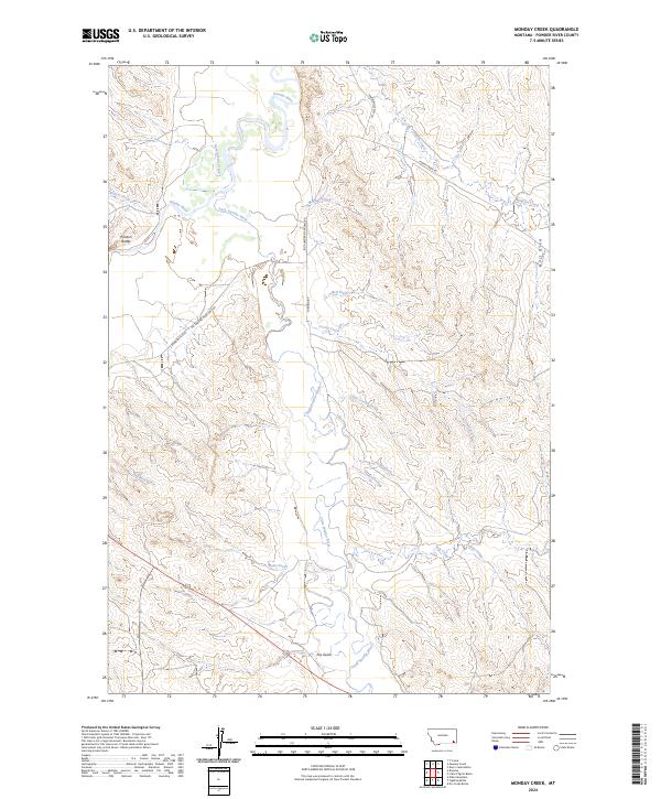
2024 Monday Creek
Powder River County, MT
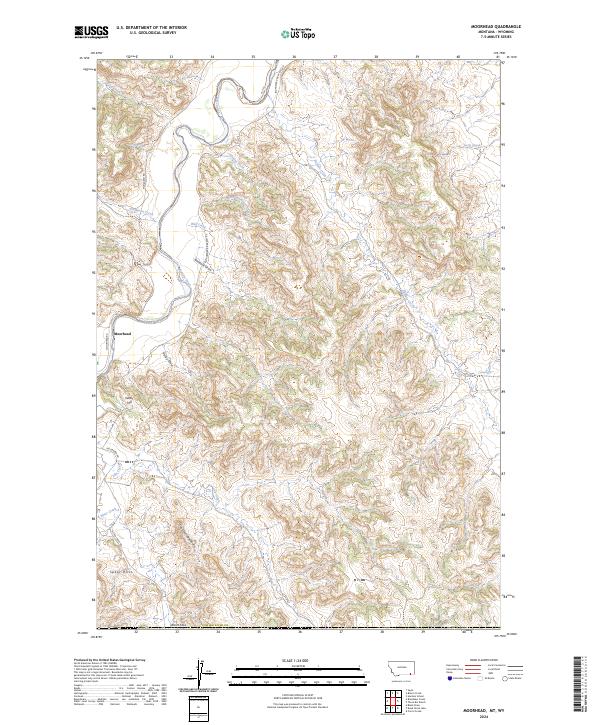
2024 Moorhead
Powder River County, MT
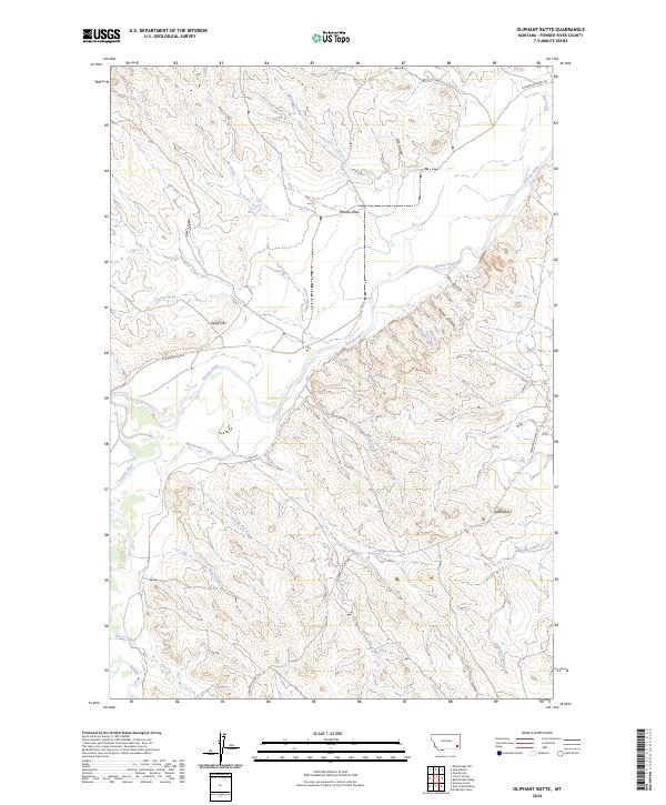
2024 Oliphant Butte
Powder River County, MT
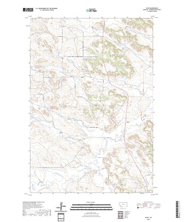
2024 Olive
Powder River County, MT
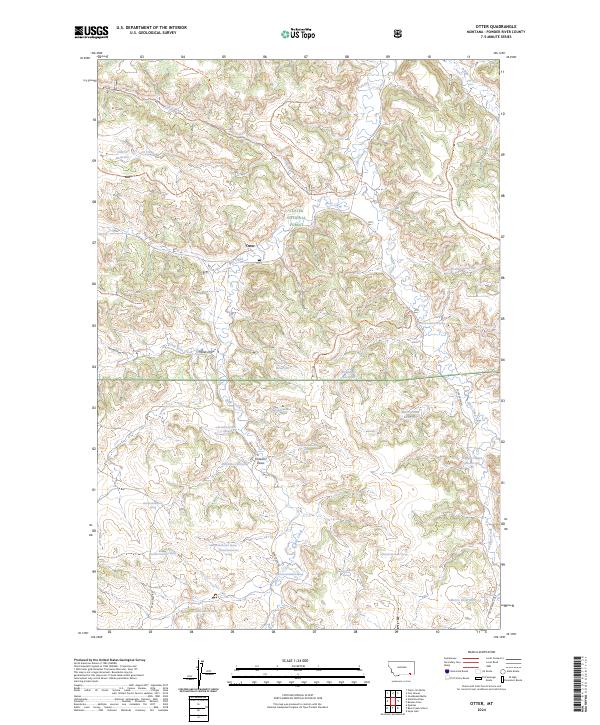
2024 Otter
Powder River County, MT
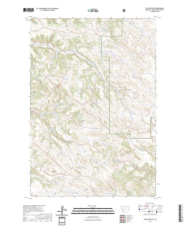
2024 Phillips Butte
Powder River County, MT
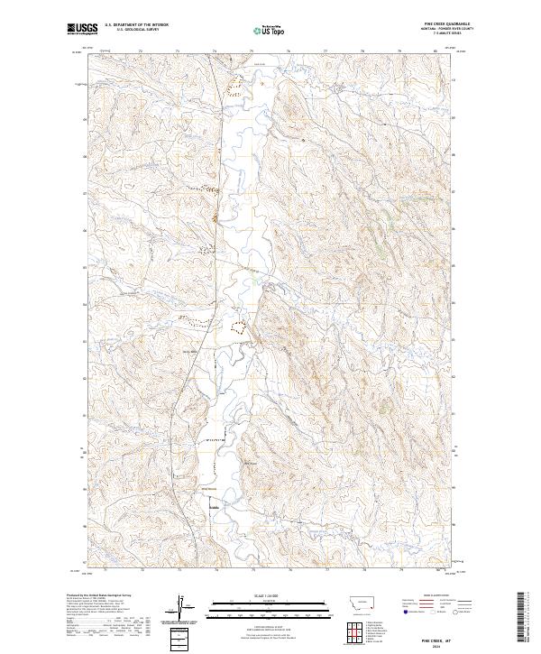
2024 Pine Creek
Powder River County, MT
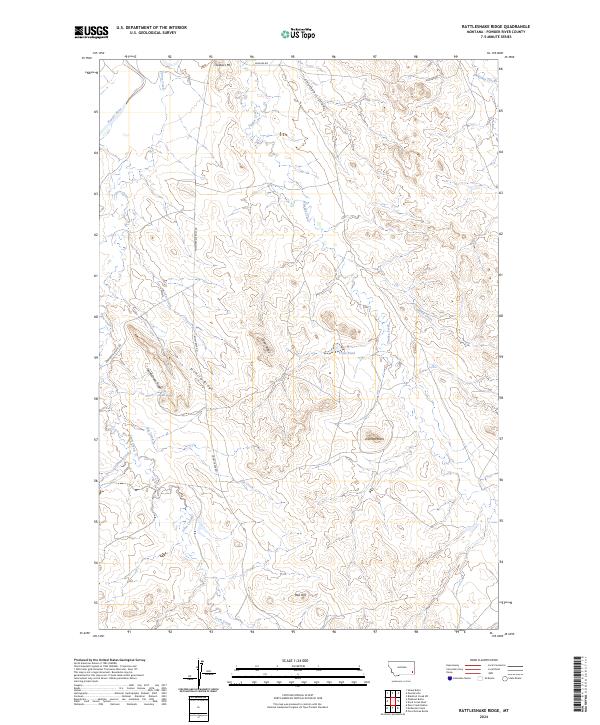
2024 Rattlesnake Ridge
Powder River County, MT
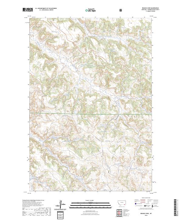
2024 Reanus Cone
Powder River County, MT
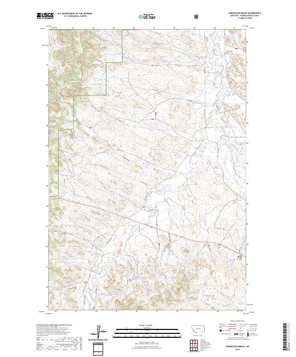
2024 Samuelson Ranch
Powder River County, MT
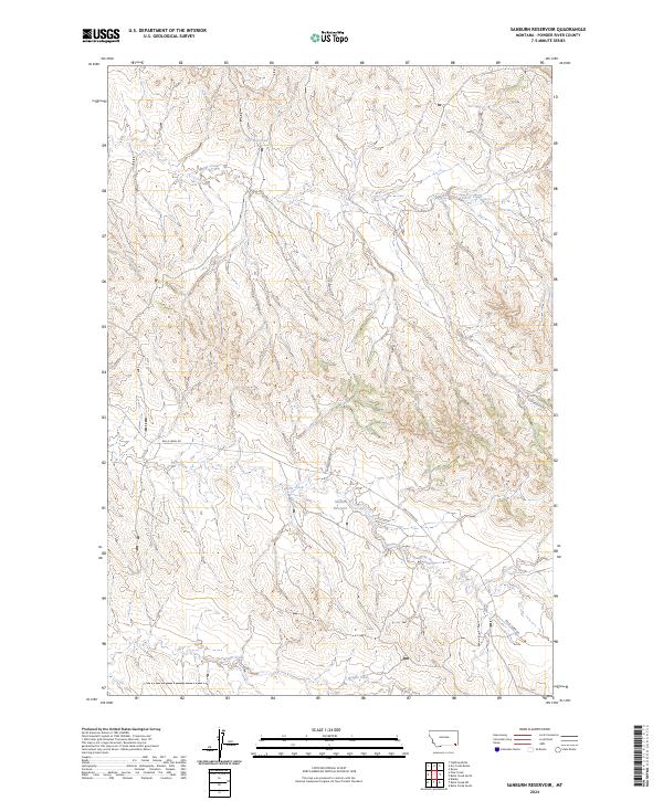
2024 Sanburn Reservoir
Powder River County, MT
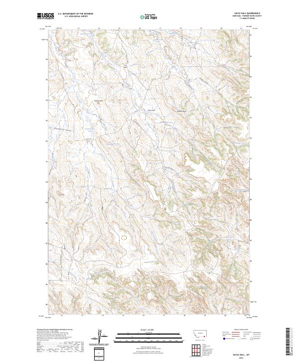
2024 Sayle Hall
Powder River County, MT
2024 Sayle
Powder River County, MT
2024 Sonnette
Powder River County, MT
2024 Stacey
Powder River County, MT

2024 T Creek
Powder River County, MT
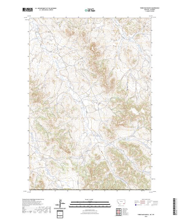
2024 Three Bar Ranch
Powder River County, MT
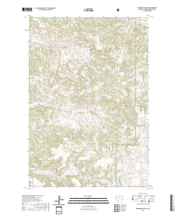
2024 Threemile Buttes
Powder River County, MT
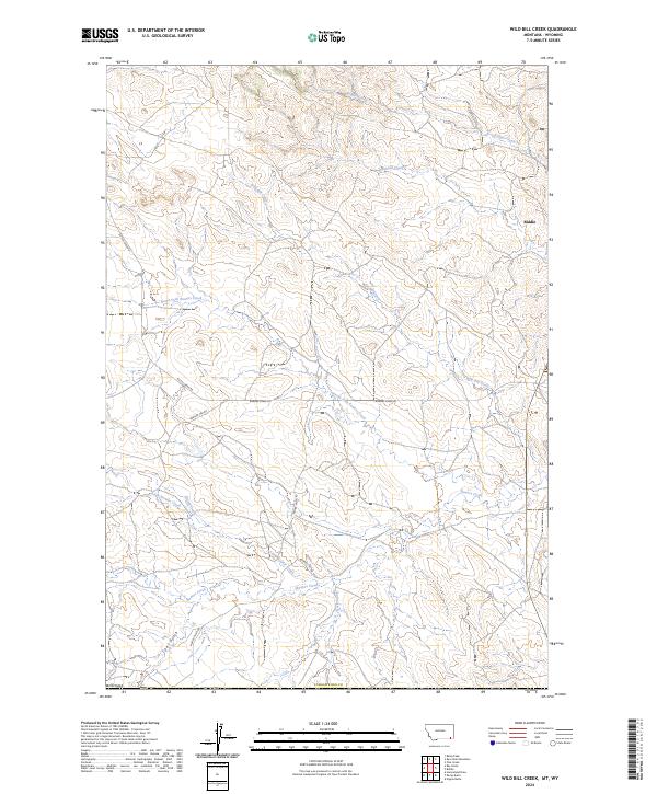
2024 Wild Bill Creek
Powder River County, MT
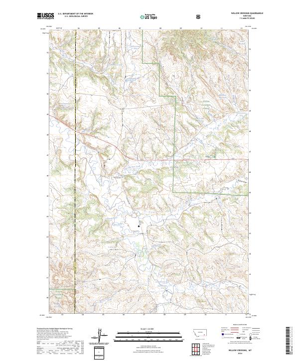
2024 Willow Crossing
Powder River County, MT
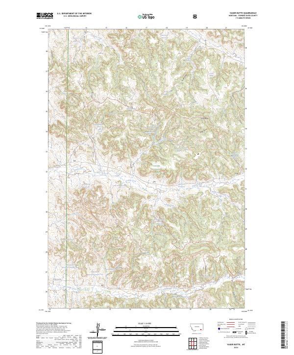
2024 Yager Butte
Powder River County, MT
2024 Yarger Butte
Powder River County, MT