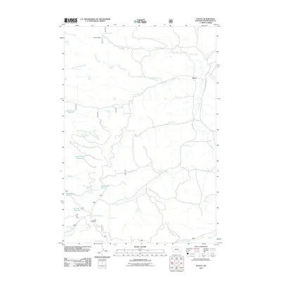
2011 Map of Stacey
USGS Topo · Published 2011About this map
Stacey and its surrounding ranchlands are depicted here as a landscape shaped by water management and high-plains geography. The distribution of educational sites across the territory, including Stacey School, North Stacey School, and Foster Creek School, highlights the decentralized nature of rural Montana life. Water security for livestock and human habitation is evidenced by a dense network of springs and man-made catchments, such as Liscom Butte Spring, Split Rock Spring, and Horse Pasture Reservoir.
Find a feature on this map
44 named features on this map. Tap any name to fly to it.
Don’t see what you’re looking for? This feature index may not catch every label — zoom into the map to look around manually.
Map Details
Editions of this 2011 Stacey Map
This is the sole edition of this map. No revisions or reprints were ever made.
Other maps of this area

1954 · Hardin
USGS Topo · 1:250,000

1954 · Ekalaka
USGS Topo · 1:250,000

1956 · Ekalaka
USGS Topo · 1:250,000

1957 · Hardin
USGS Topo · 1:250,000

1958 · Ekalaka
USGS Topo · 1:250,000

1958 · Hardin
USGS Topo · 1:250,000

1965 · Ekalaka
USGS Topo · 1:250,000

1966 · Coleman Draw
USGS Topo · 1:24,000

1966 · Stacey
USGS Topo · 1:24,000

1966 · Home Creek Butte
USGS Topo · 1:24,000