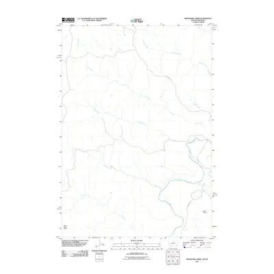
2011 Map of Bradshaw Creek
USGS Topo · Published 2011About this map
The Powder River carves a distinctive path through the southeastern corner of this quadrangle, defining the local hydrology as it receives runoff from a dense network of seasonal drainages. Significant elevation markers like Black Eagle Butte in the southwest and the Spear Hills to the east overlook a landscape shaped by water action, where Bradshaw Creek, Trail Creek, and Rough Creek have etched deep patterns into the terrain.
Find a feature on this map
14 named features on this map. Tap any name to fly to it.
Don’t see what you’re looking for? This feature index may not catch every label — zoom into the map to look around manually.
Map Details
Editions of this 2011 Bradshaw Creek Map
This is the sole edition of this map. No revisions or reprints were ever made.
Other maps of this area

1954 · Hardin
USGS Topo · 1:250,000

1954 · Ekalaka
USGS Topo · 1:250,000

1954 · Gillette
USGS Topo · 1:250,000

1955 · Sheridan
USGS Topo · 1:250,000

1955 · Gillette
USGS Topo · 1:250,000

1956 · Ekalaka
USGS Topo · 1:250,000

1957 · Hardin
USGS Topo · 1:250,000

1958 · Gillette
USGS Topo · 1:250,000

1958 · Ekalaka
USGS Topo · 1:250,000

1958 · Hardin
USGS Topo · 1:250,000