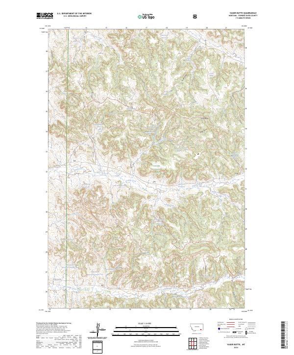
2024 Map of Yager Butte
USGS Topo · Published 2024About this map
Custer National Forest encompasses a significant portion of this landscape in Powder River County, characterized by a complex network of draws and springs that sustain the high plains. The terrain is marked by distinctive landmarks like Yager Butte and its associated Yager Gulch, which provide vertical relief among the rolling grasslands. The mapping of numerous isolated water sources, including McBride Spring, Harriet Spring Number One, and Softwater Spring, illustrates the critical importance of reliable water in this part of Montana.
Find a feature on this map
46 named features on this map. Tap any name to fly to it.
Don’t see what you’re looking for? This feature index may not catch every label — zoom into the map to look around manually.
Map Details
Editions of this 2024 Yager Butte Map
This is the sole edition of this map. No revisions or reprints were ever made.
Other maps of this area

1954 · Hardin
USGS Topo · 1:250,000

1954 · Ekalaka
USGS Topo · 1:250,000

1956 · Ekalaka
USGS Topo · 1:250,000

1957 · Hardin
USGS Topo · 1:250,000

1958 · Ekalaka
USGS Topo · 1:250,000

1958 · Hardin
USGS Topo · 1:250,000

1965 · Ekalaka
USGS Topo · 1:250,000

1966 · Goodspeed Butte
USGS Topo · 1:24,000

1966 · Coleman Draw
USGS Topo · 1:24,000

1966 · Home Creek Butte
USGS Topo · 1:24,000