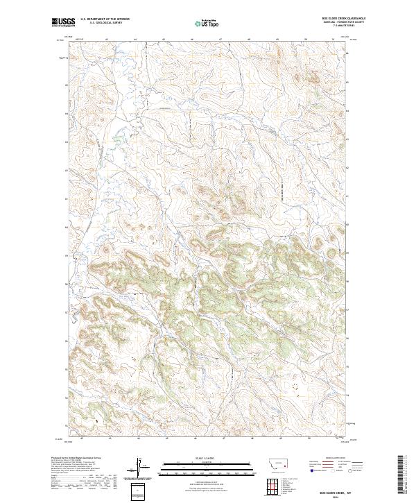
2024 Map of Box Elder Creek
USGS Topo · Published 2024About this map
Box Elder Creek and its many tributaries define the drainage patterns of this Powder River County landscape. The area is characterized by a network of seasonal watercourses and rural corridors, with Pumpkin Creek and Camp Creek serving as primary geographic landmarks. The map illustrates the contemporary land divisions and road networks that support local ranching and agricultural life, including Lockwood Rd and Big Pumpkin Rd.
Find a feature on this map
18 named features on this map. Tap any name to fly to it.
Don’t see what you’re looking for? This feature index may not catch every label — zoom into the map to look around manually.
Map Details
Editions of this 2024 Box Elder Creek Map
This is the sole edition of this map. No revisions or reprints were ever made.
Other maps of this area

1954 · Ekalaka
USGS Topo · 1:250,000

1956 · Ekalaka
USGS Topo · 1:250,000

1958 · Ekalaka
USGS Topo · 1:250,000

1965 · Ekalaka
USGS Topo · 1:250,000

1966 · Elk Ridge
USGS Topo · 1:24,000

1966 · Samuelson Ranch
USGS Topo · 1:24,000

1973 · Olive
USGS Topo · 1:24,000

1973 · Box Elder Creek
USGS Topo · 1:24,000

1973 · Coalwood
USGS Topo · 1:24,000
1973 · Divide School
USGS Topo · 1:24,000