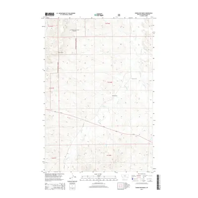
2014 Map of Samuelson Ranch
USGS Topo · Published 2014About this map
The Samuelson Ranch stands as a focal point in this portion of the Powder River Basin, situated near the winding path of Pumpkin Cr. This landscape is defined by the intersection of high plains ranching and the protected timberlands of the Custer National Forest, which covers a significant portion of the western and northern terrain. Water is the critical resource here, marked by isolated points like Manning Spring and Gun Spring, as well as numerous drainage systems including Sixmile Cr and Titus Cr that carve through the dry hills. Transport through this southeastern Montana region relies on Us-212, which cuts diagonally across the quadrangle, and secondary routes like Sayle Rd, providing essential connectivity between isolated homesteads and larger regional centers.
Find a feature on this map
20 named features on this map. Tap any name to fly to it.
Don’t see what you’re looking for? This feature index may not catch every label — zoom into the map to look around manually.
Map Details
Editions of this 2014 Samuelson Ranch Map
This is the sole edition of this map. No revisions or reprints were ever made.
Other maps of this area

1954 · Ekalaka
USGS Topo · 1:250,000

1956 · Ekalaka
USGS Topo · 1:250,000

1958 · Ekalaka
USGS Topo · 1:250,000

1965 · Ekalaka
USGS Topo · 1:250,000

1966 · Sonnette
USGS Topo · 1:24,000

1966 · Stacey
USGS Topo · 1:24,000

1966 · Home Creek Butte
USGS Topo · 1:24,000

1966 · Threemile Buttes
USGS Topo · 1:24,000

1966 · Elk Ridge
USGS Topo · 1:24,000

1966 · Samuelson Ranch
USGS Topo · 1:24,000