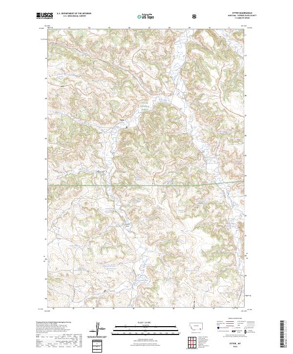
2024 Map of Otter
USGS Topo · Published 2024About this map
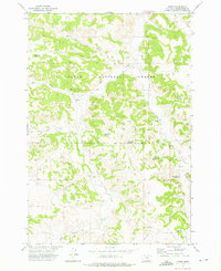
Otter lies at the intersection of a network of backcountry roads and drainage basins within the Custer National Forest. This modern 2024 map documents a landscape defined by its vital water management features, showcasing numerous small impoundments such as Lost Creek Reservoir, Fletcher Reservoir, and Miller Draw Reservoir. The terrain is characterized by long, named draws and divides, including Tooley Divide and Colester Draw, which dictate the movement of seasonal waters into Otter Creek and Bear Creek.
Find a feature on this map
46 named features on this map. Tap any name to fly to it.
Don’t see what you’re looking for? This feature index may not catch every label — zoom into the map to look around manually.
Map Details
Editions of this 2024 Otter Map
This is the sole edition of this map. No revisions or reprints were ever made.
Other maps of this area

1954 · Hardin
USGS Topo · 1:250,000

1957 · Hardin
USGS Topo · 1:250,000

1958 · Hardin
USGS Topo · 1:250,000

1966 · Goodspeed Butte
USGS Topo · 1:24,000

1966 · Poker Jim Butte
USGS Topo · 1:24,000

1966 · Fort Howes
USGS Topo · 1:24,000
1972 · Reanus Cone
USGS Topo · 1:24,000
1972 · Bear Creek School
USGS Topo · 1:24,000
1972 · Hamilton Draw
USGS Topo · 1:24,000
1972 · Otter
USGS Topo · 1:24,000