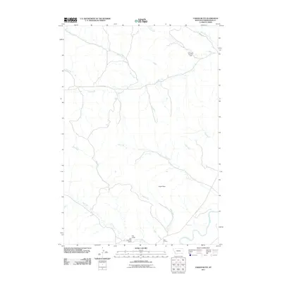
2011 Map of Yarger Butte
USGS Topo · Published 2011About this map
Yarger Butte rises above the drainage basin of the Powder River in this section of southeastern Montana. The landscape is defined by an intricate network of seasonal waterways, including Yarger Creek, Fire Creek, and Dry Creek, which carve through the terrain. Human presence is concentrated near the river and established routes like Cache Creek Rd. Yarger Cemetery serves as a significant genealogical landmark, while the E B Ranch Number 1 Dam illustrates the vital role of water management in this ranching country. The presence of Fire Gulch and Dry Fork Fire Gulch reflects a landscape shaped by the arid conditions of the Powder River Basin.
Find a feature on this map
18 named features on this map. Tap any name to fly to it.
Don’t see what you’re looking for? This feature index may not catch every label — zoom into the map to look around manually.
Map Details
Editions of this 2011 Yarger Butte Map
This is the sole edition of this map. No revisions or reprints were ever made.
Other maps of this area

1954 · Ekalaka
USGS Topo · 1:250,000

1956 · Ekalaka
USGS Topo · 1:250,000

1958 · Ekalaka
USGS Topo · 1:250,000

1965 · Ekalaka
USGS Topo · 1:250,000

1966 · Sonnette
USGS Topo · 1:24,000

1966 · Hodsdon Flats
USGS Topo · 1:24,000

1970 · Baldy Peak
USGS Topo · 1:24,000

1970 · Bloom Creek
USGS Topo · 1:24,000

1970 · Huckins School
USGS Topo · 1:24,000

1973 · Lonesome Peak
USGS Topo · 1:24,000