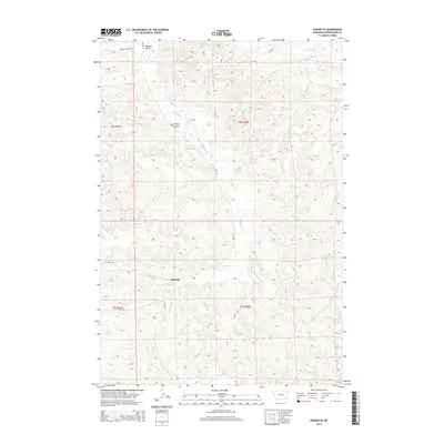
2014 Map of Sonnette
USGS Topo · Published 2014About this map
Pumpkin Cr meanders through the heart of this Montana landscape, anchoring a drainage network that includes N Fork Two Tree Cr and Dutchman Cr. The small community of Sonnette sits at the junction of Sayle Rd and 15 Mile Rd, serving as a central point for the surrounding ranching and agricultural lands. The terrain is marked by significant drainage features like Doonan Gulch and Skinner Gulch, which illustrate the complex topography of the Powder River Basin region.
Find a feature on this map
24 named features on this map. Tap any name to fly to it.
Don’t see what you’re looking for? This feature index may not catch every label — zoom into the map to look around manually.
Map Details
Editions of this 2014 Sonnette Map
This is the sole edition of this map. No revisions or reprints were ever made.
Other maps of this area

1954 · Ekalaka
USGS Topo · 1:250,000

1956 · Ekalaka
USGS Topo · 1:250,000

1958 · Ekalaka
USGS Topo · 1:250,000

1965 · Ekalaka
USGS Topo · 1:250,000

1966 · Sonnette
USGS Topo · 1:24,000

1966 · Home Creek Butte
USGS Topo · 1:24,000

1966 · Phillips Butte
USGS Topo · 1:24,000

1966 · Hodsdon Flats
USGS Topo · 1:24,000

1966 · Threemile Buttes
USGS Topo · 1:24,000

1966 · Samuelson Ranch
USGS Topo · 1:24,000