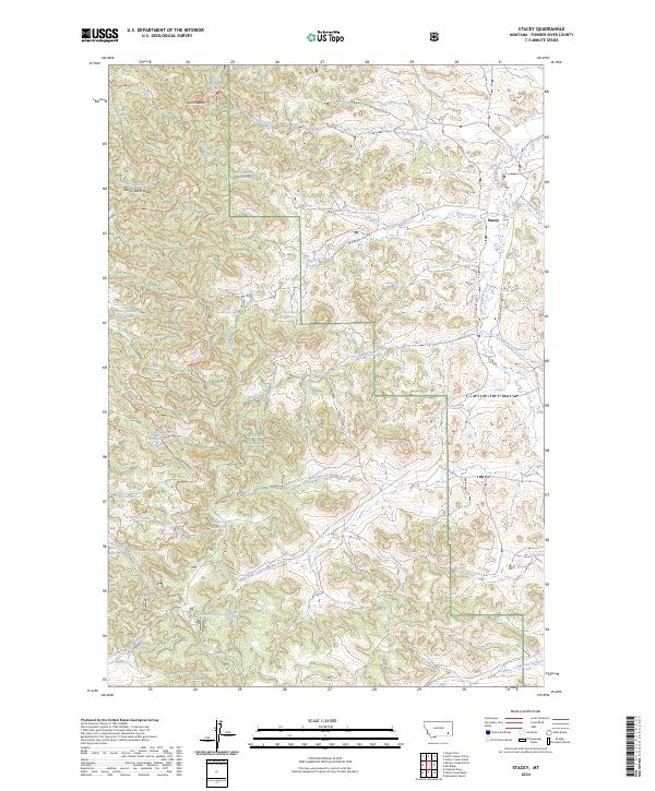
2024 Map of Stacey
USGS Topo · Published 2024About this map
Custer National Forest lands dominate this part of Powder River County, where the settlement of Stacey sits at the junction of Stacey Creek and Little Pumpkin Creek. The landscape is a complex drainage system characterized by numerous springs and small reservoirs, such as Horse Pasture Reservoir and the Oil Well Reservoir, which provided essential water for ranching operations in this arid environment. The map highlights the ranching heritage of the area, specifically noting the Samuelson Ranch and several rural education sites including North Stacey School and Foster Creek School. High points like Liscom Butte and Hayes Point overlook a network of seasonal watercourses like Split Rock Creek and Whitetail Creek. This modern survey details the infrastructure of the Custer National Forest, including fire trails and forest roads that connect these isolated homesteads and landmarks within the Montana interior.
Find a feature on this map
53 named features on this map. Tap any name to fly to it.
Don’t see what you’re looking for? This feature index may not catch every label — zoom into the map to look around manually.
Map Details
Editions of this 2024 Stacey Map
This is the sole edition of this map. No revisions or reprints were ever made.
Other maps of this area

1954 · Hardin
USGS Topo · 1:250,000

1954 · Ekalaka
USGS Topo · 1:250,000

1956 · Ekalaka
USGS Topo · 1:250,000

1957 · Hardin
USGS Topo · 1:250,000

1958 · Ekalaka
USGS Topo · 1:250,000

1958 · Hardin
USGS Topo · 1:250,000

1965 · Ekalaka
USGS Topo · 1:250,000

1966 · Coleman Draw
USGS Topo · 1:24,000

1966 · Stacey
USGS Topo · 1:24,000

1966 · Home Creek Butte
USGS Topo · 1:24,000