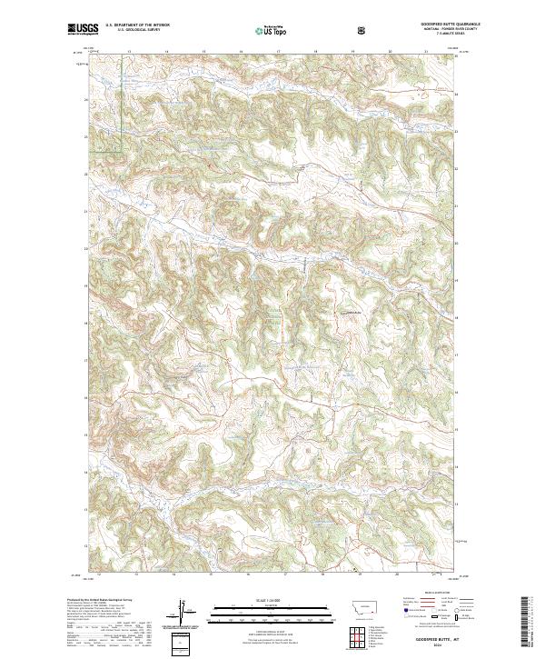
2024 Map of Goodspeed Butte
USGS Topo · Published 2024About this map
Custer National Forest lands dominate this corner of Powder River County, where the high plains of Montana meet a complex network of timbered ridges and seasonal watercourses. The landscape is defined by the vital management of water, evidenced by a series of high-elevation catchments including Price Reservoir, Howes Reservoir, and Elk Cr Reservoir Number Three. These features, alongside the prominent Goodspeed Butte, reflect the area's history of land use and livestock grazing within the national forest system. The map reveals a remote geography etched by draws and coulees, such as Griffin Coulee and Hedum Draw, which drain into larger systems like Lyon Creek and the North Fork Taylor Creek. Named springs such as Elk Creek Sawmill Spring and Coal Bank Spring provide specific points of interest for those tracing the industrial or agricultural history of these public lands.
Find a feature on this map
61 named features on this map. Tap any name to fly to it.
Don’t see what you’re looking for? This feature index may not catch every label — zoom into the map to look around manually.
Map Details
Editions of this 2024 Goodspeed Butte Map
This is the sole edition of this map. No revisions or reprints were ever made.
Other maps of this area

1954 · Hardin
USGS Topo · 1:250,000

1954 · Ekalaka
USGS Topo · 1:250,000

1956 · Ekalaka
USGS Topo · 1:250,000

1957 · Hardin
USGS Topo · 1:250,000

1958 · Ekalaka
USGS Topo · 1:250,000

1958 · Hardin
USGS Topo · 1:250,000

1965 · Ekalaka
USGS Topo · 1:250,000

1966 · Goodspeed Butte
USGS Topo · 1:24,000

1966 · Phillips Butte
USGS Topo · 1:24,000

1966 · Fort Howes
USGS Topo · 1:24,000