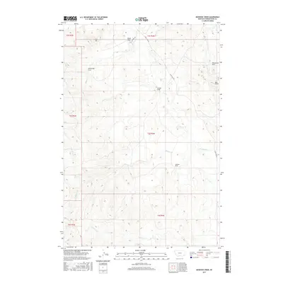
2017 Map of McKenzie Creek
USGS Topo · Published 2017About this map
Crow Cr and its tributaries define the drainage patterns of this Powder River County landscape, where water has carved numerous draws into the high plains. The topography is marked by distinctive formations such as the Honeycomb Hills and Mud Buttes in the northeast, while the southern reaches are shaped by the flow of McKenzie Cr and N Cabin Cr. These seasonal waterways are accompanied by named topographical features like Sheepcamp Draw and Seaman Draw, which suggest a history of ranching and livestock movement through the area. Human activity is largely confined to utility and access corridors, notably McDowell Rd and Crow Creek Rd, which navigate the rises near Pine Hill to connect remote reaches of these high-plains townships.
Find a feature on this map
20 named features on this map. Tap any name to fly to it.
Don’t see what you’re looking for? This feature index may not catch every label — zoom into the map to look around manually.
Map Details
Editions of this 2017 McKenzie Creek Map
This is the sole edition of this map. No revisions or reprints were ever made.
Other maps of this area

1954 · Ekalaka
USGS Topo · 1:250,000

1956 · Ekalaka
USGS Topo · 1:250,000

1958 · Ekalaka
USGS Topo · 1:250,000

1965 · Ekalaka
USGS Topo · 1:250,000
1979 · Deer Creek Buttes
USGS Topo · 1:24,000
1979 · Rattlesnake Ridge
USGS Topo · 1:24,000
1979 · Oliphant Butte
USGS Topo · 1:24,000
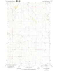
1979 · McKenzie Creek
USGS Topo · 1:24,000
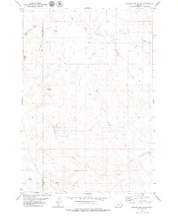
1979 · Pocochichee Butte
USGS Topo · 1:24,000
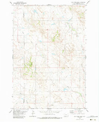
1979 · Davis Creek West
USGS Topo · 1:24,000