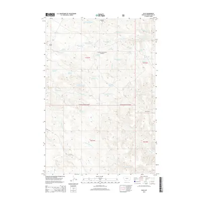
2014 Map of Sayle
USGS Topo · Published 2014About this map
Sayle marks the human footprint on this high-plains landscape within the Custer National Forest. The map reveals a sophisticated network of water management essential for ranching and survival in the Montana backcountry, with numerous catchments like Kueffer Reservoir and Rainey Reservoir dotting the terrain. This drainage system follows the complex topography of Dutch Gulch and the many prongs of Indian and Bloom Creeks.
Find a feature on this map
42 named features on this map. Tap any name to fly to it.
Don’t see what you’re looking for? This feature index may not catch every label — zoom into the map to look around manually.
Map Details
Editions of this 2014 Sayle Map
This is the sole edition of this map. No revisions or reprints were ever made.
Other maps of this area

1954 · Hardin
USGS Topo · 1:250,000

1954 · Ekalaka
USGS Topo · 1:250,000

1956 · Ekalaka
USGS Topo · 1:250,000

1957 · Hardin
USGS Topo · 1:250,000

1958 · Ekalaka
USGS Topo · 1:250,000

1958 · Hardin
USGS Topo · 1:250,000

1965 · Ekalaka
USGS Topo · 1:250,000

1966 · Goodspeed Butte
USGS Topo · 1:24,000

1966 · Phillips Butte
USGS Topo · 1:24,000

1966 · Hodsdon Flats
USGS Topo · 1:24,000