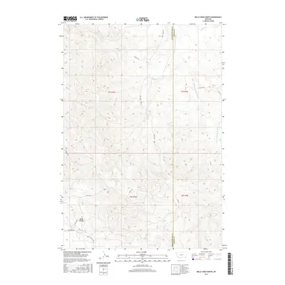
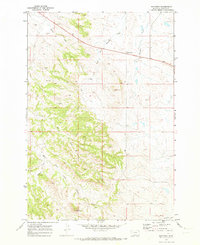
2017 Map of Belle Creek North
USGS Topo · Published 2017About this map
The Belle Creek settlement anchors this corner of Powder River County, Montana, situated at the junction of Belle Creek Rd and Lanning Way. This 2017 study illustrates the sparse, drainage-defined landscape where the Powder River Co Carter Co boundary line runs north-to-south. The topography is shaped by the winding E Fork Little Powder River, which flows through the eastern half of the quadrangle alongside Ridge Rd.
Find a feature on this map
21 named features on this map. Tap any name to fly to it.
Don’t see what you’re looking for? This feature index may not catch every label — zoom into the map to look around manually.
Map Details
Editions of this 2017 Belle Creek North Map
This is the sole edition of this map. No revisions or reprints were ever made.
Other maps of this area

1954 · Ekalaka
USGS Topo · 1:250,000

1956 · Ekalaka
USGS Topo · 1:250,000

1958 · Ekalaka
USGS Topo · 1:250,000

1965 · Ekalaka
USGS Topo · 1:250,000

1970 · Sanburn Reservoir
USGS Topo · 1:24,000
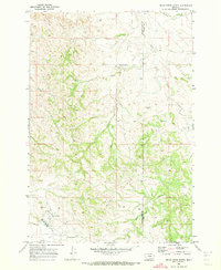
1970 · Belle Creek North
USGS Topo · 1:24,000
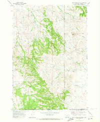
1970 · Belle Creek South
USGS Topo · 1:24,000

1970 · Belle Creek SW
USGS Topo · 1:24,000
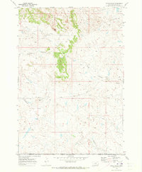
1970 · Stack Rocks
USGS Topo · 1:24,000
1970 · Hammond
USGS Topo · 1:24,000