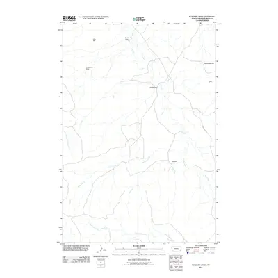
2011 Map of McKenzie Creek
USGS Topo · Published 2011About this map
Crow Creek and McKenzie Creek carve through this portion of Powder River County, Montana, defining a landscape of drainage draws and prominent high ground. The terrain is characterized by numerous erosional features, from the Honeycomb Hills in the northeast to the Mud Buttes along the eastern edge. Local naming conventions reflect a history of ranching and land use, seen in labels like Sheepcamp Draw and Garden Draw.
Find a feature on this map
12 named features on this map. Tap any name to fly to it.
Don’t see what you’re looking for? This feature index may not catch every label — zoom into the map to look around manually.
Map Details
Editions of this 2011 McKenzie Creek Map
This is the sole edition of this map. No revisions or reprints were ever made.
Other maps of this area

1954 · Ekalaka
USGS Topo · 1:250,000

1956 · Ekalaka
USGS Topo · 1:250,000

1958 · Ekalaka
USGS Topo · 1:250,000

1965 · Ekalaka
USGS Topo · 1:250,000
1979 · Deer Creek Buttes
USGS Topo · 1:24,000
1979 · Rattlesnake Ridge
USGS Topo · 1:24,000
1979 · Oliphant Butte
USGS Topo · 1:24,000
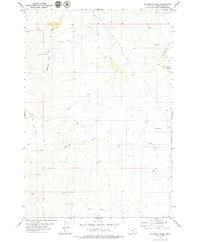
1979 · McKenzie Creek
USGS Topo · 1:24,000
1979 · Pocochichee Butte
USGS Topo · 1:24,000
1979 · Davis Creek West
USGS Topo · 1:24,000