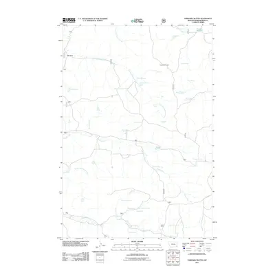
2011 Map of Threemile Buttes
USGS Topo · Published 2011About this map
Threemile Buttes dominate the high ground of this Powder River County landscape, serving as a landmark in a territory defined by a complex network of seasonal drainages and named springs. The map reveals a land utilized for ranching and resource extraction, anchored by the Sterling Mine to the south and the Samuelson Ranch to the north. Water management is central to life here, evidenced by numerous improved water sources including Old Faithful Spring, Sawmill Spring, and the Bowers Reservoir. The naming conventions of features like McLennon Spring Number One and Skinner Gulch Spring Number Two suggest a history of specific land claims and familial stakes. Transport is limited to rugged tracks and routes such as 15 Mile Rd, illustrating the isolation of this corner of Montana at the start of the 21st century.
Find a feature on this map
46 named features on this map. Tap any name to fly to it.
Don’t see what you’re looking for? This feature index may not catch every label — zoom into the map to look around manually.
Map Details
Editions of this 2011 Threemile Buttes Map
This is the sole edition of this map. No revisions or reprints were ever made.
Other maps of this area

1954 · Hardin
USGS Topo · 1:250,000

1954 · Ekalaka
USGS Topo · 1:250,000

1956 · Ekalaka
USGS Topo · 1:250,000

1957 · Hardin
USGS Topo · 1:250,000

1958 · Ekalaka
USGS Topo · 1:250,000

1958 · Hardin
USGS Topo · 1:250,000

1965 · Ekalaka
USGS Topo · 1:250,000

1966 · Goodspeed Butte
USGS Topo · 1:24,000

1966 · Sonnette
USGS Topo · 1:24,000

1966 · Coleman Draw
USGS Topo · 1:24,000