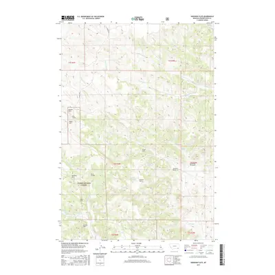
2017 Map of Hodsdon Flats
USGS Topo · Published 2017About this map
Custer National Forest encompasses much of this landscape in Powder River County, defined by a complex network of ephemeral drainages and intermittent springs. The terrain is marked by distinctive elevations such as Gardner Butte and Bailey Hill, which overlook a series of named coulees and draws including Plum Coulee and Deadman Draw. Water management in this arid environment is evident through several small impoundments, most notably Gallaway Reservoir and Turtle Reservoir, while historical land use is suggested by the presence of Sawmill Draw and several named water sources like Harper Spring and Mason Spring. The expansive Hodsdon Flats serves as a central plateau, bisected by Sonnette Rd as the primary transit corridor through these high plains.
Find a feature on this map
34 named features on this map. Tap any name to fly to it.
Don’t see what you’re looking for? This feature index may not catch every label — zoom into the map to look around manually.
Map Details
Editions of this 2017 Hodsdon Flats Map
This is the sole edition of this map. No revisions or reprints were ever made.
Other maps of this area

1954 · Ekalaka
USGS Topo · 1:250,000

1956 · Ekalaka
USGS Topo · 1:250,000

1958 · Ekalaka
USGS Topo · 1:250,000

1965 · Ekalaka
USGS Topo · 1:250,000

1966 · Sonnette
USGS Topo · 1:24,000

1966 · Phillips Butte
USGS Topo · 1:24,000

1966 · Hodsdon Flats
USGS Topo · 1:24,000

1966 · Threemile Buttes
USGS Topo · 1:24,000

1970 · Bloom Creek
USGS Topo · 1:24,000

1970 · Huckins School
USGS Topo · 1:24,000