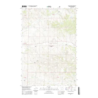
2017 Map of Coleman Draw
USGS Topo · Published 2017About this map
Custer National Forest lands dominate this portion of the Powder River Basin, where a complex network of seasonal drainages and man-made water catchments defines the high plains landscape. The topography is marked by named draws such as Coleman Draw, Detborn Draw, and Thomas Draw, which serve as natural corridors through the dissected terrain. This area reflects a reliance on managed water resources for livestock and wildlife, evidenced by a high density of small impoundments including Gaskill Reservoir, Necessity Reservoir, and Daily Reservoir.
Find a feature on this map
39 named features on this map. Tap any name to fly to it.
Don’t see what you’re looking for? This feature index may not catch every label — zoom into the map to look around manually.
Map Details
Editions of this 2017 Coleman Draw Map
This is the sole edition of this map. No revisions or reprints were ever made.
Other maps of this area

1954 · Hardin
USGS Topo · 1:250,000

1954 · Ekalaka
USGS Topo · 1:250,000

1956 · Ekalaka
USGS Topo · 1:250,000

1957 · Hardin
USGS Topo · 1:250,000

1958 · Ekalaka
USGS Topo · 1:250,000

1958 · Hardin
USGS Topo · 1:250,000

1965 · Ekalaka
USGS Topo · 1:250,000

1966 · Coleman Draw
USGS Topo · 1:24,000

1966 · Stacey
USGS Topo · 1:24,000

1966 · Home Creek Butte
USGS Topo · 1:24,000