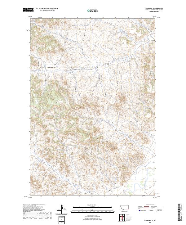
2024 Map of Yarger Butte
USGS Topo · Published 2024About this map
Yarger Butte rises as a prominent landmark in this corner of Powder River County, overseeing a landscape defined by an intricate network of drainages and high-plains topography. The Powder River cuts through the southeastern corner, while smaller tributaries like Yarger Creek, Fire Creek, and Cache Creek carve out the surrounding territory. This is a region where the land’s history is tied to specific points of settlement and navigation, such as the Yarger Cem located near the intersection of the creek and Moorhead Rd. The grid of the Public Land Survey System, including townships t6s r49e and t7s r50e, provides the framework for this rural Montana landscape. The presence of features like Dry Fork Fire Gulch and Fire Gulch reflect a terrain shaped by erosion and seasonal water flow, typical of the Montana backcountry.
Find a feature on this map
22 named features on this map. Tap any name to fly to it.
Don’t see what you’re looking for? This feature index may not catch every label — zoom into the map to look around manually.
Map Details
Editions of this 2024 Yarger Butte Map
This is the sole edition of this map. No revisions or reprints were ever made.
Other maps of this area

1954 · Ekalaka
USGS Topo · 1:250,000

1956 · Ekalaka
USGS Topo · 1:250,000

1958 · Ekalaka
USGS Topo · 1:250,000

1965 · Ekalaka
USGS Topo · 1:250,000

1966 · Sonnette
USGS Topo · 1:24,000

1966 · Hodsdon Flats
USGS Topo · 1:24,000

1970 · Baldy Peak
USGS Topo · 1:24,000

1970 · Bloom Creek
USGS Topo · 1:24,000

1970 · Huckins School
USGS Topo · 1:24,000

1973 · Lonesome Peak
USGS Topo · 1:24,000