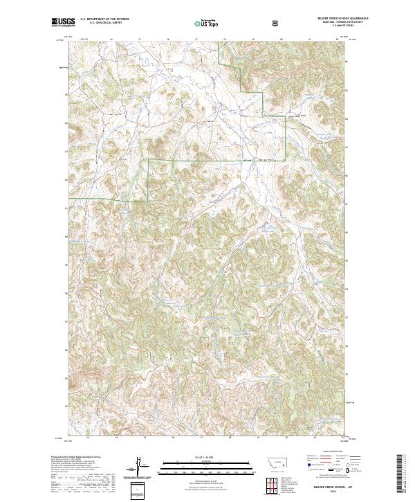
2024 Map of Beaver Creek School
USGS Topo · Published 2024About this map
Custer National Forest defines the rugged geography of this Powder River County landscape, where an intricate network of drainages supports a series of livestock and water management reservoirs. The terrain is deeply incised by Beaver Creek and its numerous tributaries, including North Fork Beaver Creek and East Fork Beaver Creek. The distribution of water sources like Sawmill Reservoir and Main Ash Reservoir, alongside named points like Cabin Creek Spring and Maxwell Spring, reflects the essential infrastructure required for ranching in this semi-arid region.
Find a feature on this map
48 named features on this map. Tap any name to fly to it.
Don’t see what you’re looking for? This feature index may not catch every label — zoom into the map to look around manually.
Map Details
Editions of this 2024 Beaver Creek School Map
This is the sole edition of this map. No revisions or reprints were ever made.
Other maps of this area

1954 · Hardin
USGS Topo · 1:250,000

1954 · Ekalaka
USGS Topo · 1:250,000

1956 · Ekalaka
USGS Topo · 1:250,000

1957 · Hardin
USGS Topo · 1:250,000

1958 · Ekalaka
USGS Topo · 1:250,000

1958 · Hardin
USGS Topo · 1:250,000

1965 · Ekalaka
USGS Topo · 1:250,000

1966 · Coleman Draw
USGS Topo · 1:24,000

1966 · Stacey
USGS Topo · 1:24,000

1966 · Home Creek Butte
USGS Topo · 1:24,000