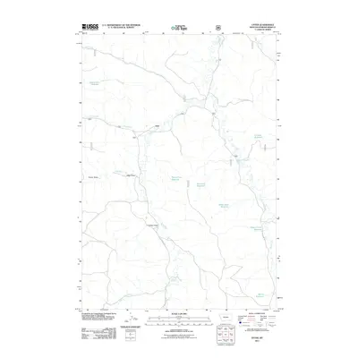
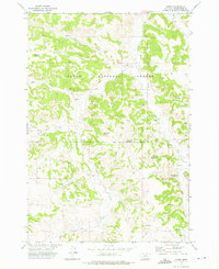
2011 Map of Otter
USGS Topo · Published 2011About this map
Otter stands as a focal point in this portion of Powder River County, where the landscape is defined by a dense network of water management and seasonal drainages. The area is characterized by numerous small-scale impoundments including Lost Creek Reservoir, Fletcher Reservoir, and Rocky Draw Reservoir, reflecting a ranching economy reliant on carefully managed water sources. These reservoirs are strategically placed across rugged drainages like Hoover Draw and Colester Draw. Transportation follows the natural contours of the land, with Otter Creek Rd and Bear Creek Rd providing the primary routes through the valley. The presence of features like Happy Coulee Reservoir and Morris Reservoir further illustrates the localized efforts to harness surface runoff in this semi-arid Montana environment.
Find a feature on this map
22 named features on this map. Tap any name to fly to it.
Don’t see what you’re looking for? This feature index may not catch every label — zoom into the map to look around manually.
Map Details
Editions of this 2011 Otter Map
This is the sole edition of this map. No revisions or reprints were ever made.
Other maps of this area

1954 · Hardin
USGS Topo · 1:250,000

1957 · Hardin
USGS Topo · 1:250,000

1958 · Hardin
USGS Topo · 1:250,000

1966 · Goodspeed Butte
USGS Topo · 1:24,000

1966 · Poker Jim Butte
USGS Topo · 1:24,000

1966 · Fort Howes
USGS Topo · 1:24,000
1972 · Reanus Cone
USGS Topo · 1:24,000
1972 · Bear Creek School
USGS Topo · 1:24,000
1972 · Hamilton Draw
USGS Topo · 1:24,000
1972 · Otter
USGS Topo · 1:24,000