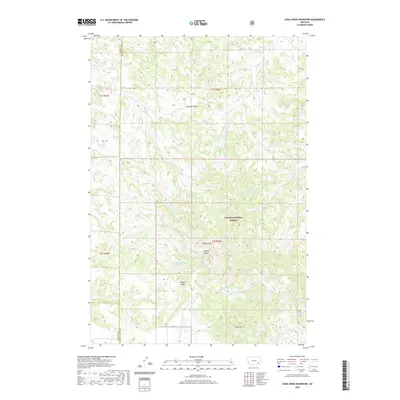
2020 Map of Cook Creek Reservoir
USGS Topo · Published 2020About this map
Custer National Forest encompasses the high-desert landscape of this quadrangle, where the borders of Rosebud Co and Powder River Co meet in southeastern Montana. The area is defined by a network of drainage features and localized water sources essential for land management in this arid environment. Significant water catchments like Cook Cr Reservoir, Cottonwood Reservoir, and Shy Reservoir provide critical infrastructure amidst the complex topography of Rice Coulee and Double E Coulee. Named springs, including Bringoff Spring, Gentry Spring, and Daily Creek Spring, mark historic water points scattered across the terrain. Rising above the draws and coulees, Cook Mtn serves as a prominent landmark in the southern portion of the survey area, overseeing the flow of Cook Cr and its tributaries.
Find a feature on this map
30 named features on this map. Tap any name to fly to it.
Don’t see what you’re looking for? This feature index may not catch every label — zoom into the map to look around manually.
Map Details
Editions of this 2020 Cook Creek Reservoir Map
This is the sole edition of this map. No revisions or reprints were ever made.
Other maps of this area

1954 · Hardin
USGS Topo · 1:250,000

1957 · Hardin
USGS Topo · 1:250,000

1958 · Hardin
USGS Topo · 1:250,000

1966 · Coleman Draw
USGS Topo · 1:24,000

1966 · Ashland
USGS Topo · 1:24,000

1966 · Beaver Creek School
USGS Topo · 1:24,000

1966 · Cook Creek Reservoir
USGS Topo · 1:24,000

1966 · Willow Crossing
USGS Topo · 1:24,000

1966 · Ashland NE
USGS Topo · 1:24,000

1971 · Hammond Draw
USGS Topo · 1:24,000