
1971 Map of Hammond Draw
USGS Topo · Published 1974About this map
The Tongue River meanders through this portion of Rosebud County, Montana, carving a distinct valley flanked by complex drainage systems. To the west, the landscape is defined by the prominent Trembling Butte and a network of ephemeral waterways including Joe Leg Creek, Hart Creek, and Bean Creek. The mapping reveals the transition from the upland plateaus down through Hammond Draw toward the river basin. Cultural details from this early 1970s field check include a Gaging Sta on the riverbank and an isolated Drill Hole in the northern hills. These features, along with several designated benchmarks like BM 2841, provide critical data points for researchers tracing the physical geography and land-use patterns of the period before significant modern development altered the drainage basins of Alfalfa Creek and Roe and Cooper Creek.
Find a feature on this map
19 named features on this map. Tap any name to fly to it.
Don’t see what you’re looking for? This feature index may not catch every label — zoom into the map to look around manually.
Map Details
Editions of this 1971 Hammond Draw Map
This is the sole edition of this map. No revisions or reprints were ever made.
Other maps of this area

1954 · Hardin
USGS Topo · 1:250,000

1957 · Hardin
USGS Topo · 1:250,000

1958 · Hardin
USGS Topo · 1:250,000

1958 · Garfield Peak
USGS Topo · 1:24,000

1966 · Cook Creek Reservoir
USGS Topo · 1:24,000

1966 · Ashland NE
USGS Topo · 1:24,000
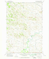
1971 · Brandenberg NW
USGS Topo · 1:24,000

1971 · Hammond Draw NW
USGS Topo · 1:24,000
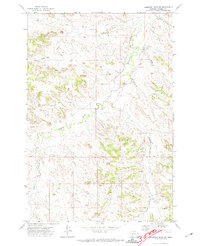
1971 · Hammond Draw SW
USGS Topo · 1:24,000
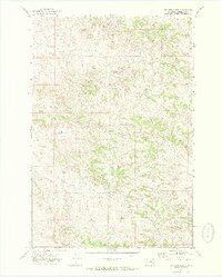
1971 · John Hen Creek
USGS Topo · 1:24,000