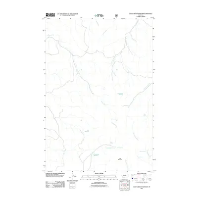
2011 Map of Cook Creek Reservoir
USGS Topo · Published 2011About this map
Cook Creek Reservoir and Cottonwood Reservoir anchor this 2011 topographic survey of the Rosebud County landscape. The area is defined by a complex network of intermittent water sources and drainage systems, including Bringoff Creek, Cottonwood Creek, and the West Fork Ash Creek. The presence of numerous named springs, such as the J O Spring, Cliff Spring, and Gentry Spring, suggests a landscape where specific water points were critical markers for ranching or land management in this part of Montana.
Find a feature on this map
18 named features on this map. Tap any name to fly to it.
Don’t see what you’re looking for? This feature index may not catch every label — zoom into the map to look around manually.
Map Details
Editions of this 2011 Cook Creek Reservoir Map
This is the sole edition of this map. No revisions or reprints were ever made.
Other maps of this area

1954 · Hardin
USGS Topo · 1:250,000

1957 · Hardin
USGS Topo · 1:250,000

1958 · Hardin
USGS Topo · 1:250,000

1966 · Coleman Draw
USGS Topo · 1:24,000

1966 · Ashland
USGS Topo · 1:24,000

1966 · Beaver Creek School
USGS Topo · 1:24,000

1966 · Cook Creek Reservoir
USGS Topo · 1:24,000

1966 · Willow Crossing
USGS Topo · 1:24,000

1966 · Ashland NE
USGS Topo · 1:24,000

1971 · Hammond Draw
USGS Topo · 1:24,000