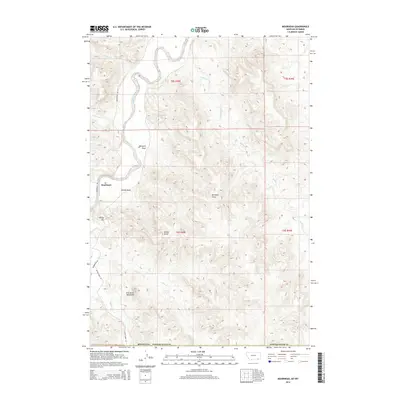
2014 Map of Moorhead
USGS Topo · Published 2014About this map
Moorhead sits at the heart of this Montana landscape, where the wide valley of the Powder River carves through the breaks of Powder River County. The terrain is defined by a series of significant drainage systems and topographical landmarks, most notably the sharp ridge of The Devils Backbone and the prominent height of Kelsey Hill. This 2014 survey reveals a ranching and rural landscape connected by Moorehead Rd and Bitter Creek Rd, which follow the natural contours of the river valley. The map details an intricate network of seasonal waterways and deep coulees, including Bootjack Draw, Kelsey Draw, and several creeks such as Flood Cr, Thompson Cr, and Buffalo Cr. These features illustrate the erosion patterns and land use in this specific section of the Montana-Wyoming border region, reflecting the enduring geography of the northern high plains.
Find a feature on this map
25 named features on this map. Tap any name to fly to it.
Don’t see what you’re looking for? This feature index may not catch every label — zoom into the map to look around manually.
Map Details
Editions of this 2014 Moorhead Map
This is the sole edition of this map. No revisions or reprints were ever made.
Other maps of this area

1954 · Ekalaka
USGS Topo · 1:250,000

1954 · Gillette
USGS Topo · 1:250,000

1955 · Gillette
USGS Topo · 1:250,000

1956 · Ekalaka
USGS Topo · 1:250,000

1958 · Gillette
USGS Topo · 1:250,000

1958 · Ekalaka
USGS Topo · 1:250,000

1962 · Gillette
USGS Topo · 1:250,000

1965 · Ekalaka
USGS Topo · 1:250,000

1970 · Moorhead
USGS Topo · 1:24,000

1970 · Bloom Creek
USGS Topo · 1:24,000