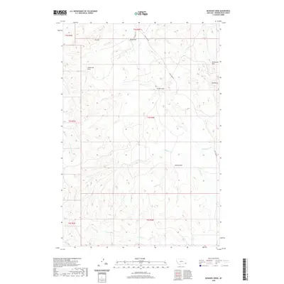
2020 Map of McKenzie Creek
USGS Topo · Published 2020About this map
Pine Hill and the Honeycomb Hills rise above a landscape defined by an intricate network of drainages and seasonal creek beds in this portion of Powder River County. The topography is marked by numerous erosional features, including Rough Draw, Garden Draw, and the Mud Buttes near the eastern boundary. This area serves as a watershed for several winding tributaries, most notably Crow Cr and Pocochichee Cr, which snake through the section lines.
Find a feature on this map
20 named features on this map. Tap any name to fly to it.
Don’t see what you’re looking for? This feature index may not catch every label — zoom into the map to look around manually.
Map Details
Editions of this 2020 McKenzie Creek Map
This is the sole edition of this map. No revisions or reprints were ever made.
Other maps of this area

1954 · Ekalaka
USGS Topo · 1:250,000

1956 · Ekalaka
USGS Topo · 1:250,000

1958 · Ekalaka
USGS Topo · 1:250,000

1965 · Ekalaka
USGS Topo · 1:250,000
1979 · Deer Creek Buttes
USGS Topo · 1:24,000
1979 · Rattlesnake Ridge
USGS Topo · 1:24,000
1979 · Oliphant Butte
USGS Topo · 1:24,000
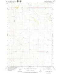
1979 · McKenzie Creek
USGS Topo · 1:24,000
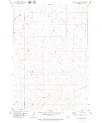
1979 · Pocochichee Butte
USGS Topo · 1:24,000
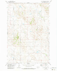
1979 · Davis Creek West
USGS Topo · 1:24,000