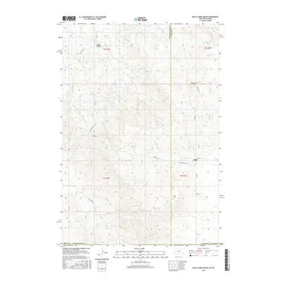
2017 Map of Belle Creek South
USGS Topo · Published 2017About this map
Ridge and Belle Creek anchor this corner of southeast Montana, where the terrain transitions across the Powder River and Carter County line. The landscape is defined by a network of seasonal drainages, including Blowout Creek, Thompson Creek, and Ranch Creek, which carve through the high plains toward the Powder River valley. A key landmark for local history is the Ridge Cemetery, located south of the Ridge settlement along Ridge Road South.
Find a feature on this map
24 named features on this map. Tap any name to fly to it.
Don’t see what you’re looking for? This feature index may not catch every label — zoom into the map to look around manually.
Map Details
Editions of this 2017 Belle Creek South Map
This is the sole edition of this map. No revisions or reprints were ever made.
Other maps of this area

1905 · Devils Tower
USGS Topo · 1:125,000

1954 · Ekalaka
USGS Topo · 1:250,000

1954 · Gillette
USGS Topo · 1:250,000

1955 · Gillette
USGS Topo · 1:250,000

1956 · Ekalaka
USGS Topo · 1:250,000

1957 · Cedar Ridge
USGS Topo · 1:62,500

1958 · Gillette
USGS Topo · 1:250,000

1958 · Ekalaka
USGS Topo · 1:250,000

1962 · Gillette
USGS Topo · 1:250,000

1965 · Ekalaka
USGS Topo · 1:250,000