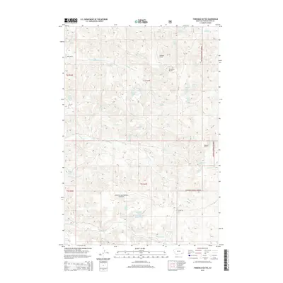
2014 Map of Threemile Buttes
USGS Topo · Published 2014About this map
Custer National Forest encompasses much of this landscape, where a dense network of springs and drainage draws defines the local topography. This 2014 survey reveals a territory shaped by water access, featuring numerous named water sources such as Old Faithful Spring, Blue Bird Spring, and Joe Yager Spring. The central landmark of Threemile Buttes rises above the surrounding terrain, which is carved by Watt Draw and Doonan Gulch.
Find a feature on this map
49 named features on this map. Tap any name to fly to it.
Don’t see what you’re looking for? This feature index may not catch every label — zoom into the map to look around manually.
Map Details
Editions of this 2014 Threemile Buttes Map
This is the sole edition of this map. No revisions or reprints were ever made.
Other maps of this area

1954 · Hardin
USGS Topo · 1:250,000

1954 · Ekalaka
USGS Topo · 1:250,000

1956 · Ekalaka
USGS Topo · 1:250,000

1957 · Hardin
USGS Topo · 1:250,000

1958 · Ekalaka
USGS Topo · 1:250,000

1958 · Hardin
USGS Topo · 1:250,000

1965 · Ekalaka
USGS Topo · 1:250,000

1966 · Goodspeed Butte
USGS Topo · 1:24,000

1966 · Sonnette
USGS Topo · 1:24,000

1966 · Coleman Draw
USGS Topo · 1:24,000