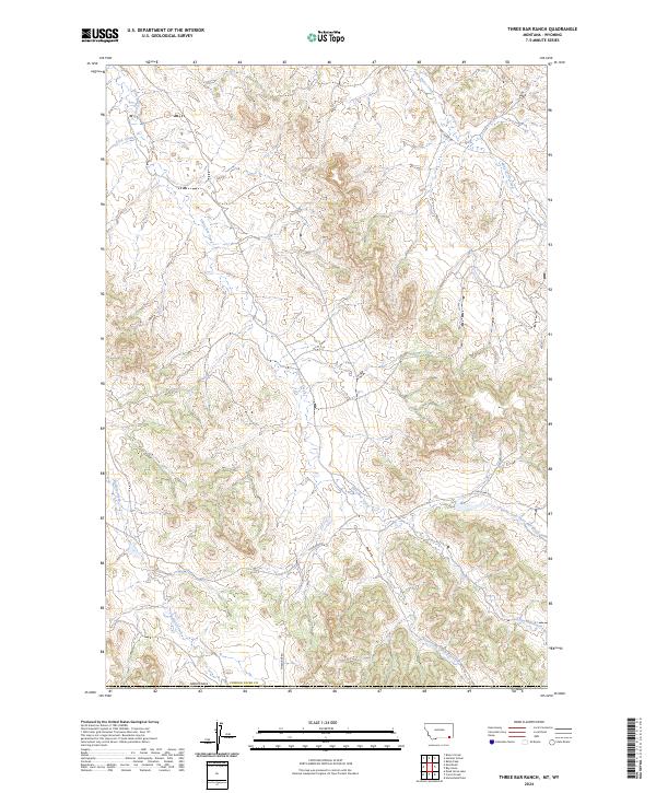
2024 Map of Three Bar Ranch
USGS Topo · Published 2024About this map
Three Bar Creek and its many tributaries, including Lock Creek and the South Fork Three Bar Creek, define the drainage patterns of this corner of Powder River County. This high-country landscape near the Wyoming border is characterized by a network of intermittent streams and remote ranch roads. Primary access across the terrain is provided by Three Bar Rd and Bay Horse Rd, which follow the natural contours of the ridges and valleys. The map illustrates the complex township and range system, including t8s r49e and t9s r50e, revealing the orderly parceling of this open rangeland. To the northeast, Bay Horse Creek carves through the terrain, indicating the critical role of seasonal water sources in this expansive region of the Montana-Wyoming borderlands.
Find a feature on this map
14 named features on this map. Tap any name to fly to it.
Don’t see what you’re looking for? This feature index may not catch every label — zoom into the map to look around manually.
Map Details
Editions of this 2024 Three Bar Ranch Map
This is the sole edition of this map. No revisions or reprints were ever made.
Other maps of this area

1954 · Ekalaka
USGS Topo · 1:250,000

1954 · Gillette
USGS Topo · 1:250,000

1955 · Gillette
USGS Topo · 1:250,000

1956 · Ekalaka
USGS Topo · 1:250,000

1958 · Gillette
USGS Topo · 1:250,000

1958 · Ekalaka
USGS Topo · 1:250,000

1962 · Gillette
USGS Topo · 1:250,000

1965 · Ekalaka
USGS Topo · 1:250,000

1970 · Moorhead
USGS Topo · 1:24,000

1970 · Baldy Peak
USGS Topo · 1:24,000