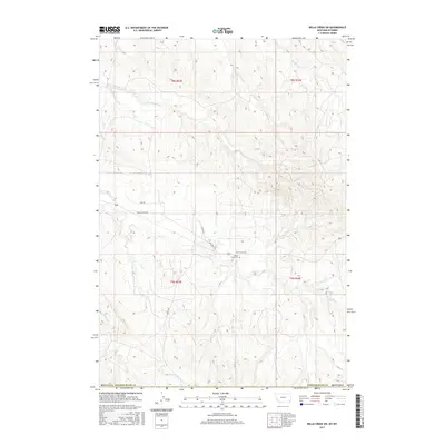
2017 Map of Belle Creek SW
USGS Topo · Published 2017About this map
Ranch Creek Cem stands as a central point of interest in this high plains landscape along the border of Powder River County, Montana. The terrain is defined by a dendritic network of drainage systems, including the northern reaches of Wright Creek and its tributary, S Fork Wright Creek. This survey captures the rural infrastructure of the region as it appeared in 2017, where State Hwy 544 provides the primary transit artery, intersecting with local routes like Sage Road and Ranch Creek Road. The map reveals a land utilized for ranching and resource management, with drainage basins for Ranch Creek and Prairie Dog Creek cutting through the open country. It offers a clear view of the sparse but critical network of rural roads, such as Cactus Lane, that connect isolated homesteads and grazing lands across the state line.
Find a feature on this map
12 named features on this map. Tap any name to fly to it.
Don’t see what you’re looking for? This feature index may not catch every label — zoom into the map to look around manually.
Map Details
Editions of this 2017 Belle Creek SW Map
This is the sole edition of this map. No revisions or reprints were ever made.
Other maps of this area

1954 · Ekalaka
USGS Topo · 1:250,000

1954 · Gillette
USGS Topo · 1:250,000

1955 · Gillette
USGS Topo · 1:250,000

1956 · Ekalaka
USGS Topo · 1:250,000

1958 · Gillette
USGS Topo · 1:250,000

1958 · Ekalaka
USGS Topo · 1:250,000

1962 · Gillette
USGS Topo · 1:250,000

1965 · Ekalaka
USGS Topo · 1:250,000

1970 · Pine Creek
USGS Topo · 1:24,000

1970 · Sanburn Reservoir
USGS Topo · 1:24,000