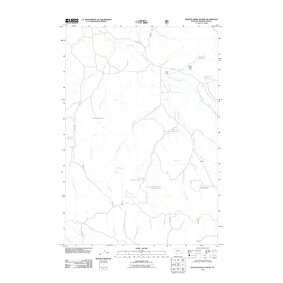
2011 Map of Beaver Creek School
USGS Topo · Published 2011About this map
Water management and drainage systems define this section of Powder River County, where the landscape is etched by a complex network of draws and creeks. The hydrology of the area is heavily modified by a series of impoundments, most notably the three-part system of Deer Creek Reservoir Number One, Number Two, and Number Three along the length of Deer Creek. These reservoirs, along with Schiller Reservoir and Sartin Draw Reservoir, indicate the critical role of water storage for ranching or land management in this arid Montana environment.
Find a feature on this map
31 named features on this map. Tap any name to fly to it.
Don’t see what you’re looking for? This feature index may not catch every label — zoom into the map to look around manually.
Map Details
Editions of this 2011 Beaver Creek School Map
This is the sole edition of this map. No revisions or reprints were ever made.
Other maps of this area

1954 · Hardin
USGS Topo · 1:250,000

1954 · Ekalaka
USGS Topo · 1:250,000

1956 · Ekalaka
USGS Topo · 1:250,000

1957 · Hardin
USGS Topo · 1:250,000

1958 · Ekalaka
USGS Topo · 1:250,000

1958 · Hardin
USGS Topo · 1:250,000

1965 · Ekalaka
USGS Topo · 1:250,000

1966 · Coleman Draw
USGS Topo · 1:24,000

1966 · Stacey
USGS Topo · 1:24,000

1966 · Home Creek Butte
USGS Topo · 1:24,000