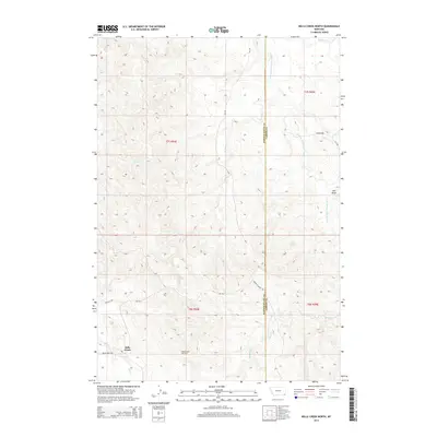
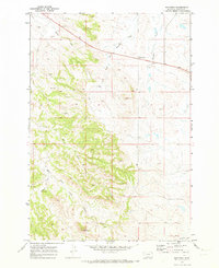
2014 Map of Belle Creek North
USGS Topo · Published 2014About this map
The Belle Creek Oil Field dominates this section of Montana’s southeastern corner, revealing a landscape defined by energy extraction and remote ranching access. Located along the border of Powder River Co and Carter Co, the settlement of Belle Creek serves as a hub for the surrounding petroleum operations and regional travel via Belle Creek Rd. The geography is characterized by a series of intermittent drainages, most notably the E Fork Little Powder River and its various tributaries including Duncan Cr and Blowout Cr. A network of rural routes, such as the Ridge To Boyes Rd and Boyles S Rd, connect isolated ranching tracts and oil infrastructure across the section lines of T7S R54E and T8S R55E. This topographic study documents the intersection of industrial land use and the natural drainage patterns of the high plains just after the first decade of the 2000s.
Find a feature on this map
19 named features on this map. Tap any name to fly to it.
Don’t see what you’re looking for? This feature index may not catch every label — zoom into the map to look around manually.
Map Details
Editions of this 2014 Belle Creek North Map
This is the sole edition of this map. No revisions or reprints were ever made.
Other maps of this area

1954 · Ekalaka
USGS Topo · 1:250,000

1956 · Ekalaka
USGS Topo · 1:250,000

1958 · Ekalaka
USGS Topo · 1:250,000

1965 · Ekalaka
USGS Topo · 1:250,000

1970 · Sanburn Reservoir
USGS Topo · 1:24,000
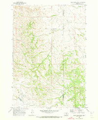
1970 · Belle Creek North
USGS Topo · 1:24,000
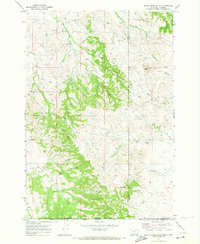
1970 · Belle Creek South
USGS Topo · 1:24,000

1970 · Belle Creek SW
USGS Topo · 1:24,000
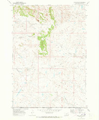
1970 · Stack Rocks
USGS Topo · 1:24,000
1970 · Hammond
USGS Topo · 1:24,000