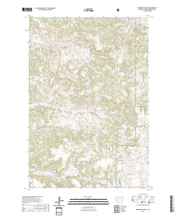
2024 Map of Threemile Buttes
USGS Topo · Published 2024About this map
Custer National Forest encompasses a large portion of this Powder River County landscape, defined by high-elevation divides and a critical network of springs essential for livestock and wildlife in this semi-arid region. The eponymous Threemile Buttes stand as a central landmark, separating the drainages of North Fork Threemile Creek and South Fork Threemile Creek. Long-established movement patterns are visible in the high-country routes like the Three & Ten Mile Divide Trl and the Pumpkin-Otter Divide Trl, which follow the natural contours of the ridges. Water management is a primary feature of the terrain, documented through numerous named sources such as Wild Hog Spring, Old Faithful Spring, and Sawmill Spring, alongside man-made improvements like Bowers Reservoir and Ridenour Reservoir. This intricate web of water points and trails illustrates the modern ranching and forestry infrastructure that maintains the traditional land use of the Montana backcountry.
Find a feature on this map
63 named features on this map. Tap any name to fly to it.
Don’t see what you’re looking for? This feature index may not catch every label — zoom into the map to look around manually.
Map Details
Editions of this 2024 Threemile Buttes Map
This is the sole edition of this map. No revisions or reprints were ever made.
Other maps of this area

1954 · Hardin
USGS Topo · 1:250,000

1954 · Ekalaka
USGS Topo · 1:250,000

1956 · Ekalaka
USGS Topo · 1:250,000

1957 · Hardin
USGS Topo · 1:250,000

1958 · Ekalaka
USGS Topo · 1:250,000

1958 · Hardin
USGS Topo · 1:250,000

1965 · Ekalaka
USGS Topo · 1:250,000

1966 · Goodspeed Butte
USGS Topo · 1:24,000

1966 · Sonnette
USGS Topo · 1:24,000

1966 · Coleman Draw
USGS Topo · 1:24,000