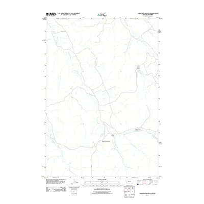
2011 Map of Three Bar Ranch
USGS Topo · Published 2011About this map
Three Bar Ranch sits at the confluence of the North Fork Three Bar Creek and the South Fork Three Bar Creek in Campbell County. This ranching landscape is defined by its water management, evidenced by several small-scale reservoirs such as the Portwine Number 1 Dam and Whiton Number 2 Dam. The drainage systems here are extensive, with Three Bar Creek and Buffalo Creek carving through the terrain. This 2011 survey by the U.S. Geological Survey illustrates a sparsely populated region of Wyoming where land use is tied closely to these vital water sources. Improved ranch access is provided by local routes like Beason Rd and 3 Bar Rd, which connect these operations to the broader high plains region.
Find a feature on this map
12 named features on this map. Tap any name to fly to it.
Don’t see what you’re looking for? This feature index may not catch every label — zoom into the map to look around manually.
Map Details
Editions of this 2011 Three Bar Ranch Map
This is the sole edition of this map. No revisions or reprints were ever made.
Other maps of this area

1954 · Ekalaka
USGS Topo · 1:250,000

1954 · Gillette
USGS Topo · 1:250,000

1955 · Gillette
USGS Topo · 1:250,000

1956 · Ekalaka
USGS Topo · 1:250,000

1958 · Gillette
USGS Topo · 1:250,000

1958 · Ekalaka
USGS Topo · 1:250,000

1962 · Gillette
USGS Topo · 1:250,000

1965 · Ekalaka
USGS Topo · 1:250,000

1970 · Moorhead
USGS Topo · 1:24,000

1970 · Baldy Peak
USGS Topo · 1:24,000