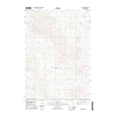
2017 Map of Bay Horse
USGS Topo · Published 2017About this map
Bay Horse serves as a focal point in this high-plains landscape of south-central Montana, situated where Bay Horse Rd navigates the drainages of Bay Horse Cr. The settlement pattern is defined by the cattle-ranching heritage of Powder River County, exemplified by the location of Three Bar Ranch near the confluence of Three Bar Cr and N Fork Three Bar Cr. The terrain is deeply etched by a network of seasonal watercourses, including Butte Creek and Bowers Cr, which drain toward the east and south. This 2017 survey details the remote infrastructure of the region, where gravel routes like Recluse Rd provide essential connectivity between isolated ranchsteads and the broader county network. The map provides a clear view of the township and range system, marking out the vast survey sections of t9s r50e and surrounding districts that organize this rural landscape.
Find a feature on this map
20 named features on this map. Tap any name to fly to it.
Don’t see what you’re looking for? This feature index may not catch every label — zoom into the map to look around manually.
Map Details
Editions of this 2017 Bay Horse Map
This is the sole edition of this map. No revisions or reprints were ever made.
Other maps of this area

1954 · Ekalaka
USGS Topo · 1:250,000

1954 · Gillette
USGS Topo · 1:250,000

1955 · Gillette
USGS Topo · 1:250,000

1956 · Ekalaka
USGS Topo · 1:250,000

1958 · Gillette
USGS Topo · 1:250,000

1958 · Ekalaka
USGS Topo · 1:250,000

1962 · Gillette
USGS Topo · 1:250,000

1965 · Ekalaka
USGS Topo · 1:250,000

1970 · Wild Bill Creek
USGS Topo · 1:24,000

1970 · Baldy Peak
USGS Topo · 1:24,000