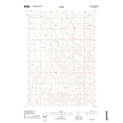
2020 Map of Sayle Hall
USGS Topo · Published 2020About this map
Sayle Hall serves as a central landmark in this portion of Powder River County, where the high plains landscape is defined by a complex network of draws and buttes. The terrain is deeply incised by drainages such as Otter Creek and its many tributaries, including Pasture Creek and Boxelder Creek. Prominent elevations like Wallop Butte, Long Butte, and the colorfully named Gobbler Knob punctuate the horizon, providing natural vantage points across the ranching country.
Find a feature on this map
36 named features on this map. Tap any name to fly to it.
Don’t see what you’re looking for? This feature index may not catch every label — zoom into the map to look around manually.
Map Details
Editions of this 2020 Sayle Hall Map
This is the sole edition of this map. No revisions or reprints were ever made.
Other maps of this area

1954 · Hardin
USGS Topo · 1:250,000

1954 · Ekalaka
USGS Topo · 1:250,000

1954 · Gillette
USGS Topo · 1:250,000

1955 · Sheridan
USGS Topo · 1:250,000

1955 · Gillette
USGS Topo · 1:250,000

1956 · Ekalaka
USGS Topo · 1:250,000

1957 · Hardin
USGS Topo · 1:250,000

1958 · Gillette
USGS Topo · 1:250,000

1958 · Ekalaka
USGS Topo · 1:250,000

1958 · Hardin
USGS Topo · 1:250,000