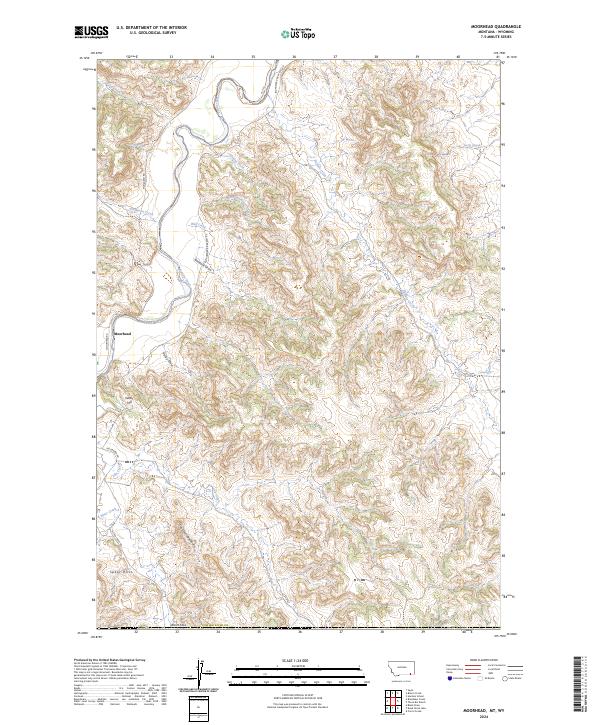
2024 Map of Moorhead
USGS Topo · Published 2024About this map
The Powder River carves a winding path through this corner of south-central Montana, where the small settlement of Moorhead serves as a primary reference point. The terrain is defined by a series of sharp ridges and deep incisions, most notably the prominent crest of The Devils Backbone and the expansive Spear Hills to the southwest. This landscape is a network of seasonal drainages including Well Creek, Jenkins Creek, and Bitter Creek, which feed into the main river valley.
Find a feature on this map
26 named features on this map. Tap any name to fly to it.
Don’t see what you’re looking for? This feature index may not catch every label — zoom into the map to look around manually.
Map Details
Editions of this 2024 Moorhead Map
This is the sole edition of this map. No revisions or reprints were ever made.
Other maps of this area

1954 · Ekalaka
USGS Topo · 1:250,000

1954 · Gillette
USGS Topo · 1:250,000

1955 · Gillette
USGS Topo · 1:250,000

1956 · Ekalaka
USGS Topo · 1:250,000

1958 · Gillette
USGS Topo · 1:250,000

1958 · Ekalaka
USGS Topo · 1:250,000

1962 · Gillette
USGS Topo · 1:250,000

1965 · Ekalaka
USGS Topo · 1:250,000

1970 · Moorhead
USGS Topo · 1:24,000

1970 · Bloom Creek
USGS Topo · 1:24,000