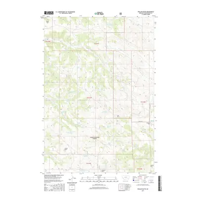
2017 Map of Phillips Butte
USGS Topo · Published 2017About this map
Phillips Butte and Diamond Butte anchor this high plains landscape within the Custer National Forest south of Sonnette. The terrain is defined by an intricate network of drainages and seasonal water sources, reflecting the critical importance of water management in eastern Montana. A high density of man-made water features, including Elk Cr Reservoir Number One, Mud Turtle Reservoir, Basin Reservoir, and Pierce Reservoir, illustrates the extensive infrastructure developed for ranching and livestock. These reservoirs are often situated near natural sources like Coal Mine Spring and Schwind Spring. The map documents a complex system of draws and prongs, such as Sawmill Draw, Mason Prong, and Deadman Draw, which feed into larger watercourses like N Fork Elk Cr and Fifteenmile Cr. Sonnette Rd provides the primary corridor through this sparsely settled region, where land use is dictated by the rugged topography of the Powder River Basin.
Find a feature on this map
53 named features on this map. Tap any name to fly to it.
Don’t see what you’re looking for? This feature index may not catch every label — zoom into the map to look around manually.
Map Details
Editions of this 2017 Phillips Butte Map
This is the sole edition of this map. No revisions or reprints were ever made.
Other maps of this area

1954 · Hardin
USGS Topo · 1:250,000

1954 · Ekalaka
USGS Topo · 1:250,000

1956 · Ekalaka
USGS Topo · 1:250,000

1957 · Hardin
USGS Topo · 1:250,000

1958 · Ekalaka
USGS Topo · 1:250,000

1958 · Hardin
USGS Topo · 1:250,000

1965 · Ekalaka
USGS Topo · 1:250,000

1966 · Goodspeed Butte
USGS Topo · 1:24,000

1966 · Sonnette
USGS Topo · 1:24,000

1966 · Phillips Butte
USGS Topo · 1:24,000