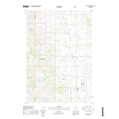
2020 Map of King Mountain
USGS Topo · Published 2020About this map
Custer National Forest lands dominate this high-plains landscape where the Rosebud County and Powder River County line divides the terrain. The map reveals a complex network of ranching and water management features vital to this arid Montana environment, including the Newell Cr Reservoir, Chromo Reservoir, and several numbered water sources such as Paget Reservoir Number One and Paget Reservoir Number Two. Notable relief is anchored by King Mtn and the deep incisions of Black Canyon, while drainage patterns are defined by Otter Cr and its tributaries like Tenmile Cr and Fifteenmile Cr. The presence of many named springs, such as Brian Spring Number One and Chromo Spring, underscores the critical importance of reliable water points for livestock and wildlife across these townships.
Find a feature on this map
47 named features on this map. Tap any name to fly to it.
Don’t see what you’re looking for? This feature index may not catch every label — zoom into the map to look around manually.
Map Details
Editions of this 2020 King Mountain Map
This is the sole edition of this map. No revisions or reprints were ever made.
Other maps of this area

1954 · Hardin
USGS Topo · 1:250,000

1957 · Hardin
USGS Topo · 1:250,000

1958 · Hardin
USGS Topo · 1:250,000

1966 · Goodspeed Butte
USGS Topo · 1:24,000

1966 · Coleman Draw
USGS Topo · 1:24,000

1966 · Ashland
USGS Topo · 1:24,000

1966 · Poker Jim Butte
USGS Topo · 1:24,000

1966 · Fort Howes
USGS Topo · 1:24,000

1966 · King Mountain
USGS Topo · 1:24,000

1966 · Willow Crossing
USGS Topo · 1:24,000