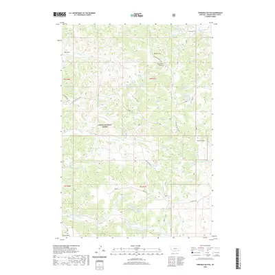
2020 Map of Threemile Buttes
USGS Topo · Published 2020About this map
Threemile Buttes anchor a complex system of drainage and high-country divides within the Custer National Forest in Powder River County. This landscape is defined by its water sources, with numerous named springs such as Watt Spring, Doonan Spring, and Old Faithful Spring providing critical points of interest across the territory. The map illustrates a network of gulches and draws that separate prominent landmarks like the Pumpkin-Otter Divide and the Three & Ten Mile Divide. This region, characterized by its ranching and forest history, features essential water management sites including Ridenour Reservoir and Bowers Reservoir. Transportation is represented by a handful of established routes like Lemonade Road and Fifteen Mile Rd, which navigate the terrain alongside seasonal waterways like Tenmile Cr and the Middle Fork Tenmile Creek.
Find a feature on this map
57 named features on this map. Tap any name to fly to it.
Don’t see what you’re looking for? This feature index may not catch every label — zoom into the map to look around manually.
Map Details
Editions of this 2020 Threemile Buttes Map
This is the sole edition of this map. No revisions or reprints were ever made.
Other maps of this area

1954 · Hardin
USGS Topo · 1:250,000

1954 · Ekalaka
USGS Topo · 1:250,000

1956 · Ekalaka
USGS Topo · 1:250,000

1957 · Hardin
USGS Topo · 1:250,000

1958 · Ekalaka
USGS Topo · 1:250,000

1958 · Hardin
USGS Topo · 1:250,000

1965 · Ekalaka
USGS Topo · 1:250,000

1966 · Goodspeed Butte
USGS Topo · 1:24,000

1966 · Sonnette
USGS Topo · 1:24,000

1966 · Coleman Draw
USGS Topo · 1:24,000