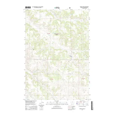
2017 Map of Reanus Cone
USGS Topo · Published 2017About this map
Custer National Forest encompasses much of this southeastern Montana landscape, where a sophisticated network of small-scale water management features defines the land use. Named water catchments such as Howes Reservoir, Seymour Reservoir, Stewart Reservoir, and Indian Cr Reservoir are distributed across the high grazing lands, indicating the importance of reliable water sources for local ranching operations. The topography is anchored by Reanus Cone, a prominent elevation point that overlooks the drainage systems of Reanus Cr and Indian Cr.
Find a feature on this map
24 named features on this map. Tap any name to fly to it.
Don’t see what you’re looking for? This feature index may not catch every label — zoom into the map to look around manually.
Map Details
Editions of this 2017 Reanus Cone Map
This is the sole edition of this map. No revisions or reprints were ever made.
Other maps of this area

1954 · Hardin
USGS Topo · 1:250,000

1954 · Ekalaka
USGS Topo · 1:250,000

1956 · Ekalaka
USGS Topo · 1:250,000

1957 · Hardin
USGS Topo · 1:250,000

1958 · Ekalaka
USGS Topo · 1:250,000

1958 · Hardin
USGS Topo · 1:250,000

1965 · Ekalaka
USGS Topo · 1:250,000

1966 · Goodspeed Butte
USGS Topo · 1:24,000

1966 · Phillips Butte
USGS Topo · 1:24,000

1966 · Fort Howes
USGS Topo · 1:24,000