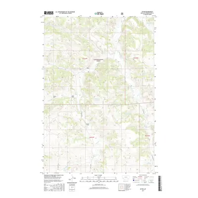
2017 Map of Otter
USGS Topo · Published 2017About this map
Otter serves as the central focal point for this section of Powder River County, where the settlement is positioned along the banks of Otter Cr. The landscape is defined by the southeastern reaches of the Custer National Forest, showing a terrain deeply etched by drainage systems like Hoover Draw and Colester Draw. Transportation in this ranching country relies on established routes such as Bear Creek Rd and Otter Creek Rd, which follow the natural contours of the stream valleys. Water management is a primary feature of the local geography, evidenced by numerous man-made catchments including Lost Cr Reservoir, Happy Coulee Reservoir, and Fletcher Reservoir. These reservoirs, scattered across the township and range grids, indicate the vital importance of water storage for livestock and land management in this part of Montana.
Find a feature on this map
26 named features on this map. Tap any name to fly to it.
Don’t see what you’re looking for? This feature index may not catch every label — zoom into the map to look around manually.
Map Details
Editions of this 2017 Otter Map
This is the sole edition of this map. No revisions or reprints were ever made.
Other maps of this area
1954 · Hardin
USGS Topo · 1:250,000
1957 · Hardin
USGS Topo · 1:250,000
1958 · Hardin
USGS Topo · 1:250,000
1966 · Goodspeed Butte
USGS Topo · 1:24,000
1966 · Poker Jim Butte
USGS Topo · 1:24,000
1966 · Fort Howes
USGS Topo · 1:24,000
1972 · Reanus Cone
USGS Topo · 1:24,000
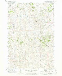
1972 · Bear Creek School
USGS Topo · 1:24,000
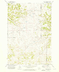
1972 · Hamilton Draw
USGS Topo · 1:24,000
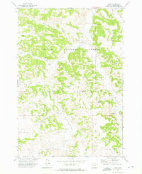
1972 · Otter
USGS Topo · 1:24,000