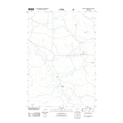
2011 Map of Willow Crossing
USGS Topo · Published 2011About this map
Willow Crossing anchors this landscape in Powder River County, where the high plains are defined by an intricate network of drainages and small-scale water management. The settlement sits near the confluence of Willow Creek and Otter Creek, a geography that likely influenced the placement of the Willow Crossing Cemetery nearby. This 2011 survey documents a region where ranching and resource extraction coexist, evidenced by the presence of the Coal Creek Mine in the northern portion of the quadrangle.
Find a feature on this map
25 named features on this map. Tap any name to fly to it.
Don’t see what you’re looking for? This feature index may not catch every label — zoom into the map to look around manually.
Map Details
Editions of this 2011 Willow Crossing Map
This is the sole edition of this map. No revisions or reprints were ever made.
Other maps of this area

1954 · Hardin
USGS Topo · 1:250,000

1957 · Hardin
USGS Topo · 1:250,000

1958 · Hardin
USGS Topo · 1:250,000

1966 · Coleman Draw
USGS Topo · 1:24,000

1966 · Ashland
USGS Topo · 1:24,000

1966 · Beaver Creek School
USGS Topo · 1:24,000

1966 · Cook Creek Reservoir
USGS Topo · 1:24,000

1966 · King Mountain
USGS Topo · 1:24,000

1966 · Willow Crossing
USGS Topo · 1:24,000

1966 · Ashland NE
USGS Topo · 1:24,000