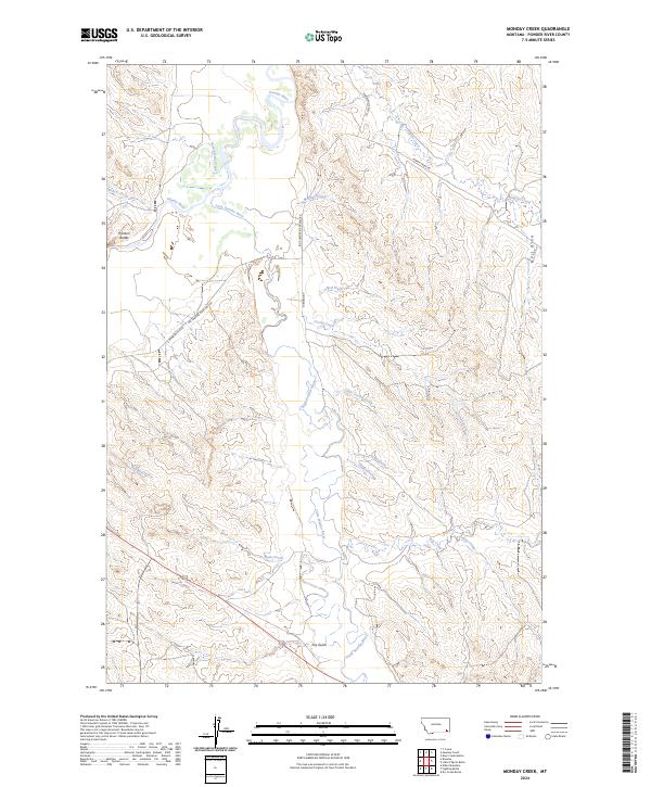
2024 Map of Monday Creek
USGS Topo · Published 2024About this map
The Powder River and Little Powder River flow through this section of Powder River County, carving a landscape defined by complex drainage systems and rising landmarks like the Preston Buttes. This modern topographic study reveals a terrain of sharp draws and wide river bottoms, where seasonal waterways such as Monday Creek, Hell Creek, and Corral Creek intersect a network of rural routes. The map documents the passage of the Big Powder River East Rd and Turnbough, illustrating the limited but critical road infrastructure that follows the natural contours of the valley. From the junction of Government Creek to the deep recesses of Hart Draw, the map provides an essential look at the modern land use and hydrological patterns of this sparsely populated Montana prairie.
Find a feature on this map
26 named features on this map. Tap any name to fly to it.
Don’t see what you’re looking for? This feature index may not catch every label — zoom into the map to look around manually.
Map Details
Editions of this 2024 Monday Creek Map
This is the sole edition of this map. No revisions or reprints were ever made.
Other maps of this area

1954 · Ekalaka
USGS Topo · 1:250,000

1956 · Ekalaka
USGS Topo · 1:250,000

1958 · Ekalaka
USGS Topo · 1:250,000

1965 · Ekalaka
USGS Topo · 1:250,000

1973 · Monday Creek
USGS Topo · 1:24,000

1973 · Moonlight Creek
USGS Topo · 1:24,000

1973 · Hawkey Creek
USGS Topo · 1:24,000
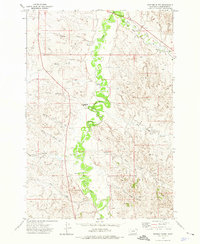
1973 · Fighting Butte
USGS Topo · 1:24,000
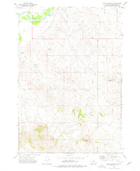
1973 · Eldon Mountain
USGS Topo · 1:24,000
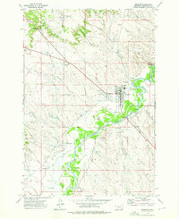
1973 · Broadus
USGS Topo · 1:24,000