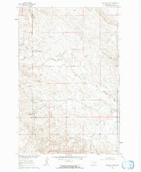
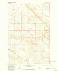
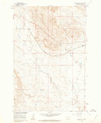
1960s Maps of Rosebud County, Montana
Explore 86 historic maps of Rosebud County from the 1960s. These maps offer a rare glimpse into what life looked like during the 1960s — showing old roads, neighborhoods, homes, and landmarks that have changed or disappeared over time.
Whether you're researching your family's past, planning a metal detecting trip, or studying how Rosebud County's landscape evolved across the 1960s, these high-resolution maps are a powerful tool for exploring the history of this region.
- Focus on a specific era: All maps on this page are from the 1960s, giving you a focused view of this time period.
- See what’s changed: Compare century-old streets, trails, and buildings to today's modern landscape using overlays and satellite layers.
- Research with precision: Use these maps for genealogy, historical research, land use analysis, or educational projects.
- View, download, or print: Maps are fully viewable online in high resolution, and can be downloaded or printed for your own records.
Start exploring Rosebud County's history through authentic maps from the 1960s. This is your window into the past.
Rosebud County, MT maps
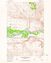
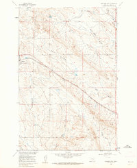
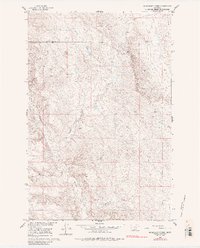
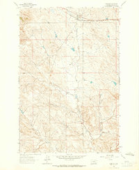
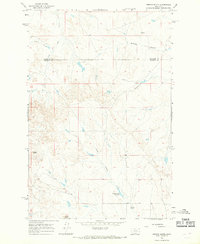
(86)- 1960 Map of Steie Ranch, 1962 Print
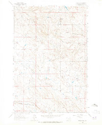
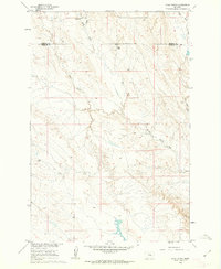 1960 Steie Ranch1962 Print · USGSBig sky ranching country along the Treasure and Rosebud county line is captured here just as the Missouri River Basin development program was underway. Researchers can locate the Steie Ranch and trace the drainage patterns of Froze to Death Creek and Geyser Spring Coulee.
 - 1960 Map of Hagen Ranch, 1962 Print
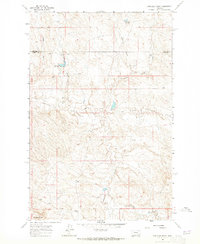
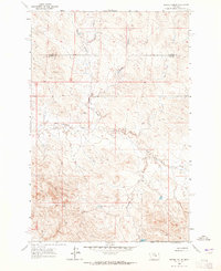
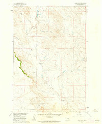 1960 Hagen Ranch1962 Print · USGSRosebud County ranching life is captured here in the early sixties, showing the isolated homesteads and water sources of the Montana plains. Genealogists and historians can locate family landmarks like Hagen Ranch, Mysse Ranch, and the winding Great Porcupine Creek.
 - 1960 Map of Vananda, 1962 Print
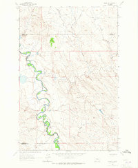
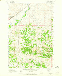
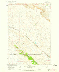 1960 Vananda1962 Print · USGSRailroad operations and ranching life intersect in the high plains of Rosebud and Treasure Counties at the dawn of the sixties. Genealogists and rail historians can trace the Milwaukee Road through Vananda and identify old Prospects along Cedar Ridge.2 unique versions available
 - 1960 Map of Ahles, 1962 Print
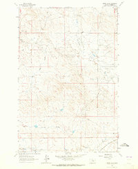
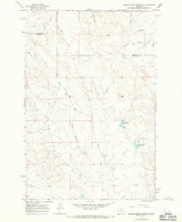
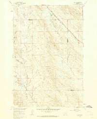 1960 Ahles1962 Print · USGSThe eastern Montana plains come into focus in the early sixties as the railroad era shapes the landscape. Trace the local geography along the Chicago Milwaukee St Paul and Pacific line near Ahles and the curiously named Starved to Death Creek.2 unique versions available
 - 1960 Map of Sanders, 1962 Print
 1960 Sanders1962 Print · USGSTreasure County during the early 1960s shows a landscape shaped by the river and the rail. Researchers can trace the path of the Northern Pacific through Sanders and explore local drainage like Six Mile to Death Creek.2 unique versions available
 - 1960 Map of Yablonski Ranch, 1962 Print
 1960 Yablonski Ranch1962 Print · USGSRosebud County ranching life is captured in the early sixties, showing a landscape defined by isolated family holdings and seasonal waterways. Researchers can locate original sites like the Yablonski Ranch, Fox Homestead, and Finch Ranch.2 unique versions available
 - 1960 Map of Thebes, 1962 Print
 1960 Thebes1962 Print · USGSRosebud County ranchlands and rail lines are captured here in the early sixties, centered on the tiny settlement of Thebes. Researchers can trace the path of the Chicago Milwaukee St Paul and Pacific railroad past Thebes Lake and Erickson Ranch.2 unique versions available
 - 1960 Map of Ingomar West, 1962 Print
 1960 Ingomar West1962 Print · USGSRosebud County, Montana, was a ranching and rail hub during the early sixties, centered on the vital Milwaukee Road. Genealogists and rail historians can trace the Chicago Milwaukee St Paul and Pacific through the settlements of Ingomar and Galbraith.2 unique versions available
 - 1960 Map of Ingomar East, 1962 Print
 1960 Ingomar East1962 Print · USGSRosebud County, Montana, was a landscape of rail-driven trade and high plains drainage in the early sixties. Researchers can trace the legacy of the Chicago Milwaukee St Paul and Pacific line through Ingomar and explore local landmarks like Black Sea Reservoir.2 unique versions available
 - 1960 Map of Brown Coulee, 1962 Print
 1960 Brown Coulee1962 Print · USGSRosebud County, Montana, was a landscape of remote cattle operations and homesteads in the years following the war. Genealogists and researchers can trace family landmarks like the Sweeter Homestead, Blacktail Ranch, and the Brockel Homestead.2 unique versions available
 - 1960 Map of Zempel Lake, 1962 Print
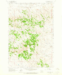
 1960 Zempel Lake1962 Print · USGSRosebud County ranching country is captured here in the early sixties, showing the isolated homesteads and drainage networks of the Missouri River Basin. Genealogists and local historians can locate family landmarks like Johnson Ranch, Richardson Ranch, and Zempel Lake.2 unique versions available
 - 1960 Map of Black Sea Reservoir, 1962 Print
 1960 Black Sea Reservoir1962 Print · USGSRosebud County, Montana, was characterized by intensive water management and remote ranching in the early sixties. Researchers can trace landholdings at the Yablonski Ranch, locate early industrial markers like Drill Hole 3006, and study the drainage of West Blacktail Creek.
 - 1960 Map of Mc Konkey Creek, 1985 Print
 1960 Mc Konkey Creek1985 Print · USGSThe high plains of Treasure and Rosebud counties are captured here in the early sixties, showing a landscape defined by ranchland drainage and wide-open topography. Researchers can trace the winding paths of Willow Creek and Mc Konkey Creek or locate isolated markers like the early drill hole.
 - 1962 Map of Guthridge Ranch, 1965 Print
 1962 Guthridge Ranch1965 Print · USGSRosebud County ranch lands are captured here in the early 1960s, showing the intersection of rail transport and remote homesteading. Researchers can locate Guthridge Ranch, the Milwaukee Road railroad, and landmarks like Eagle Rock.2 unique versions available
 - 1962 Map of Melstone NE, 1965 Print
 1962 Melstone NE1965 Print · USGSMusselshell River country during the early sixties shows a landscape defined by petroleum extraction and heavy rail. Researchers can trace the development of the Ivanhoe Dome Oil Field and the path of the Chicago Milwaukee St Paul and Pacific railroad.2 unique versions available
 - 1962 Map of Maxwell Ranch, 1965 Print
 1962 Maxwell Ranch1965 Print · USGSThe high plains of Petroleum County are documented in the early sixties as cattle ranching and resource exploration defined the land. Researchers can trace the layout of the Maxwell Ranch, find early industrial marks like a Drill Hole, and follow the Musselshell River.2 unique versions available
 - 1962 Map of Sumatra, 1965 Print
 1962 Sumatra1965 Print · USGSRosebud County ranching and rail life are centered on the community of Sumatra in the early sixties. Researchers can trace family ranching sites like Hecker Ranch and local infrastructure including the Sumatra Cem and the Milwaukee Road railroad.2 unique versions available
 - 1962 Map of Kincheloe Ranch, 1965 Print
 1962 Kincheloe Ranch1965 Print · USGSThe ranchlands of Rosebud and Garfield counties are captured here in the early sixties. Researchers can trace the layout of the Kincheloe Ranch and the natural landmarks of Rattlesnake Buttes and Jacobsen Coulee that defined this Montana landscape.
 - 1962 Map of Mosby SE, 1965 Print
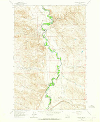
 1962 Mosby SE1965 Print · USGSThe Musselshell River country of central Montana is captured here in the early sixties, showing the river's dramatic meanders along the Rosebud County border. Genealogists and historians can trace the intricate drainages of Nineteen Coulee and Rattlesnake Creek near a prominent cross-country Pipeline.2 unique versions available
 - 1962 Map of Grebe Ranch, 1965 Print
 1962 Grebe Ranch1965 Print · USGSRosebud County ranchlands meet the energy industry in the early sixties as oil production expanded across the coulees. Genealogists and historians can trace family-named landmarks like Grebe Ranch and the Rattlesnake Sch alongside the active Stensvad Oil Field.2 unique versions available
 - 1963 Map of Hecker Ranch, 1965 Print
 1963 Hecker Ranch1965 Print · USGSRosebud County ranching and rail infrastructure are captured here in the early sixties. Researchers can trace the Chicago Milwaukee St Paul and Pacific rail line and locate isolated outposts like Kincheloe Camp and Hecker Ranch.
 - 1963 Map of Regnal Coulee, 1965 Print
 1963 Regnal Coulee1965 Print · USGSRanching country on the border of Rosebud and Garfield counties comes into focus in the early sixties. Researchers can trace land use through features like Regnal Coulee, a Well, and Big Breed Creek as the area was first surveyed from the air.2 unique versions available
 - 1963 Map of Melstone, 1965 Print
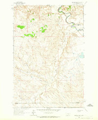
 1963 Melstone1965 Print · USGSIn the early sixties, the Musselshell River valley remained a critical corridor for the Milwaukee Road. Trace the rail infrastructure through Melstone and Bascom, alongside water features like Wilson Coulee and Twin Tops.2 unique versions available
 - 1965 Map of Needle Butte Reservoir, 1968 Print
 1965 Needle Butte Reservoir1968 Print · USGSRangeland along the border of Rosebud and Garfield Counties comes into focus during the mid-1960s. Genealogists and historians can locate a lonely Grave or trace water sources like Le Poidevin Dam and Needle Butte Reservoir.
 - 1965 Map of Needle Butte, 1968 Print
 1965 Needle Butte1968 Print · USGSEastern Montana rangeland on the border of Garfield and Rosebud counties is captured here in the mid-sixties. Researchers can trace land use through the network of fence lines and find water sources like Sunday Creek Reservoir, Sweetser Spring, and Needle Butte.2 unique versions available
Showing maps 1-25 of 86
Top cities of Rosebud County
Frequently asked questions
- What are the different types of historical maps available for Rosebud County?
- What is the oldest map of Rosebud County?
- Where can I purchase historical maps of Rosebud County for my home or office?
- Where can I download high-res historical maps of Rosebud County?
- Are there historical topographic maps available for Rosebud County?
- Is there historical aerial imagery available for Rosebud County?
- Where are historical maps of Rosebud County sourced from?