2020s Maps of Rosebud County, Montana
Explore 252 historic maps of Rosebud County from the 2020s. These maps offer a rare glimpse into what life looked like during the 2020s — showing old roads, neighborhoods, homes, and landmarks that have changed or disappeared over time.
Whether you're researching your family's past, planning a metal detecting trip, or studying how Rosebud County's landscape evolved across the 2020s, these high-resolution maps are a powerful tool for exploring the history of this region.
- Focus on a specific era: All maps on this page are from the 2020s, giving you a focused view of this time period.
- See what’s changed: Compare century-old streets, trails, and buildings to today's modern landscape using overlays and satellite layers.
- Research with precision: Use these maps for genealogy, historical research, land use analysis, or educational projects.
- View, download, or print: Maps are fully viewable online in high resolution, and can be downloaded or printed for your own records.
Start exploring Rosebud County's history through authentic maps from the 2020s. This is your window into the past.
Rosebud County, MT maps
(252)- 2020 Map of Melstone, 2020 Print
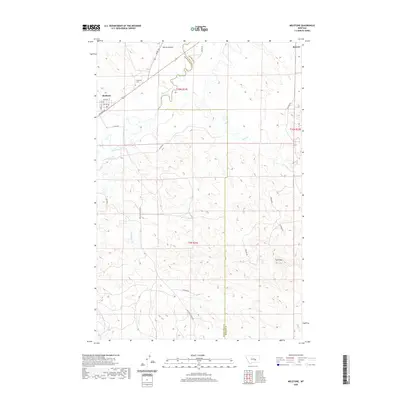 2020 Melstone2020 Print · USGSMelstone and the Musselshell River valley are captured in this recent survey, showcasing the town's rail-aligned grid and surrounding plains. Researchers can locate the Melstone Cem, the rural settlement of Bascom, and landmarks like Twin Tops.
 - 2020 Map of Ingomar East, 2020 Print
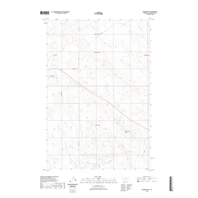 2020 Ingomar East2020 Print · USGSRosebud County ranching country is documented here in the early twenty-first century, centered on the settlement of Ingomar. Researchers can trace old cattle routes and water access along E Fork Froze to Death Cr and the drainage of Geyser Spring Coulee.
 - 2020 Map of Steie Ranch, 2020 Print
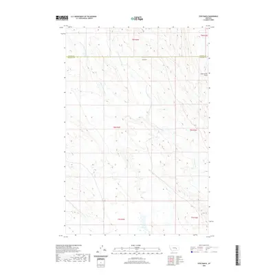 2020 Steie Ranch2020 Print · USGSRosebud and Treasure counties appear in this recent survey of Montana's ranching country. Researchers can trace the drainage of Froze to Death Cr and its forks near Steie Ranch and the isolated Geyser Spring Coulee.
 - 2020 Map of Zempel Lake, 2020 Print
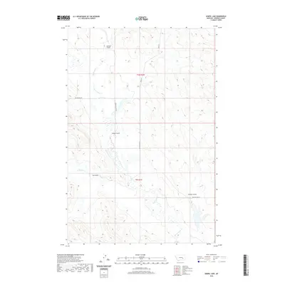 2020 Zempel Lake2020 Print · USGSRosebud County, Montana, is mapped here in the early twenty-first century, showing the drainage patterns of the northern plains. Researchers can trace the path of Big Porcupine Cr and locate specific landmarks like Nelson Coulee and Ferguson Ranch Ln.
 - 2020 Map of Ingomar West, 2020 Print
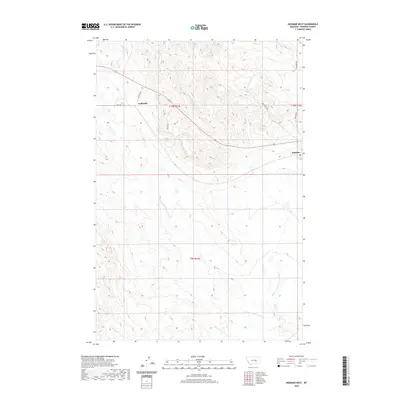 2020 Ingomar West2020 Print · USGSRosebud County ranchlands are documented here as they appeared in the early twenty-first century, showing a landscape defined by scattered settlements and seasonal drainages. Researchers can trace rural routes like Galbirth Rd and the forks of Middle Fork Froze-to-Death Creek.
 - 2020 Map of Kincheloe Ranch, 2020 Print
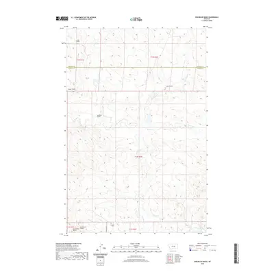 2020 Kincheloe Ranch2020 Print · USGSThe border of Rosebud and Garfield counties comes alive in this modern survey of Montana's ranching country. Researchers can trace the water-carved landscape from Kincheloe Ranch past the Rattlesnake Coulee Buttes and along Antelope Creek.
 - 2020 Map of Hole-in-the-Rock, 2020 Print
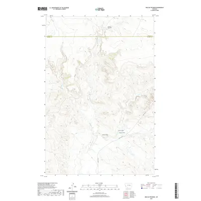 2020 Hole-in-the-Rock2020 Print · USGSBig Porcupine Creek winds through the Rosebud County plains in the early twenty-first century, a landscape shaped by deep coulees and wide grazing lands. Researchers can trace the drainage of Devils Canyon and identify remote access routes like Acorn Flats Rd and Shoup Rd.
 - 2020 Map of Vananda, 2020 Print
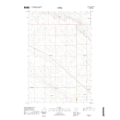 2020 Vananda2020 Print · USGSThe rural landscape of Rosebud and Treasure Counties is captured here in the modern era, centered on the settlement of Vananda. Genealogists and researchers can trace local landmarks like Cedar Ridge and the courses of Horse Cr or Anderson Cr.
 - 2020 Map of Woods Water, 2020 Print
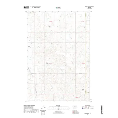 2020 Woods Water2020 Print · USGSRosebud and Treasure Counties are captured here in the 2020s, showing a vast ranching landscape shaped by seasonal water. Researchers can trace the drainage patterns of Sarpy Cr and find landmarks like Rattlesnake Butte and Haines Reservoir.
 - 2020 Map of McKonkey Creek, 2020 Print
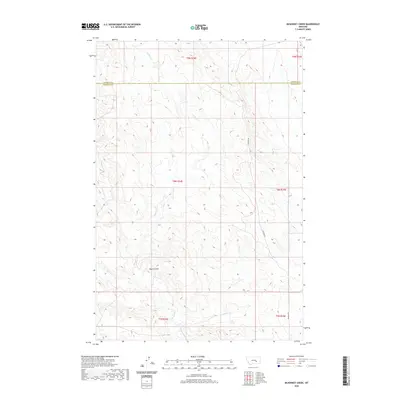 2020 McKonkey Creek2020 Print · USGSThe high plains of Rosebud and Treasure Counties are documented here in recent detail, showing a landscape defined by ranching and coulees. Local historians can trace the paths of McKonkey Cr and Muggins Cr or follow the route of Ingomar Rd.
 - 2020 Map of Melstone NE, 2020 Print
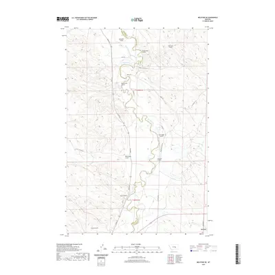 2020 Melstone NE2020 Print · USGSEastern Montana ranching country comes into focus in this modern survey of the Musselshell River breaks. Genealogists and historians can trace the area's water-dependent settlement near Bascom and across named features like Butts Coulee and Orchard Coulee.
 - 2020 Map of Thurlow, 2020 Print
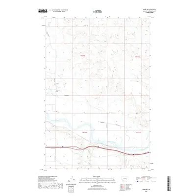 2020 Thurlow2020 Print · USGSThe Yellowstone River valley near Rosebud County remains a vital corridor for Montana ranching and transit in this 2020 survey. Genealogists and historians can trace the local landscape around Thurlow and landmarks like the Sand Creek Bridge and Jack Creek Hill.
 - 2020 Map of Hagen Ranch, 2020 Print
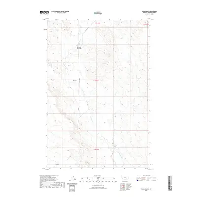 2020 Hagen Ranch2020 Print · USGSRosebud County ranching country is documented here in the early twenty-first century, showing the remote plains near the Big Porcupine drainage. Researchers can trace land boundaries near Hagen Ranch and follow the paths of Wild Horse Pete Coulee and Acorn Flats Rd.
 - 2020 Map of Griffin Coulee, 2020 Print
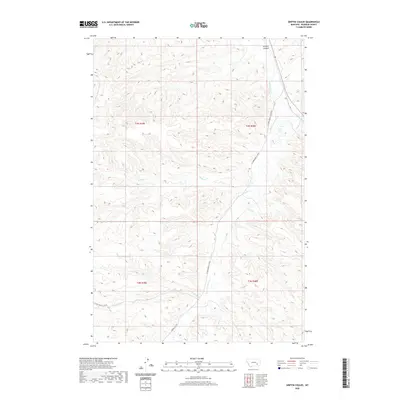 2020 Griffin Coulee2020 Print · USGSRosebud County, Montana, is depicted here in the early twenty-first century as a land of deep coulees and winding creek beds. Researchers can trace rural routes like W Fork Armells Creek Rd through the drainages of Griffin Coulee and Armells Cr.
 - 2020 Map of Smith Creek, 2020 Print
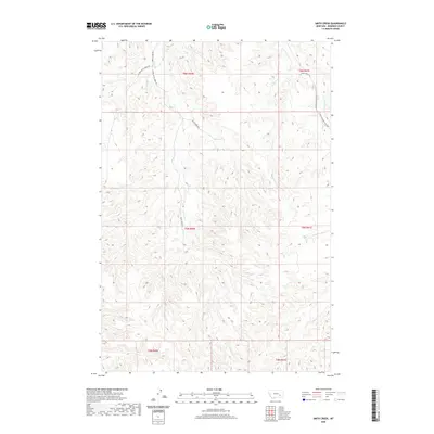 2020 Smith Creek2020 Print · USGSRosebud County ranching country is mapped here in the modern era, showing the remote drainages of the Montana interior. Researchers can trace land access via Smith Creek Rd and locate landmarks like the Flying X Ranch Ln and Slaughterhouse Cr.
 - 2020 Map of Ahles, 2020 Print
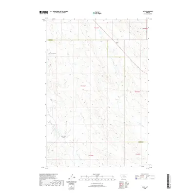 2020 Ahles2020 Print · USGSEastern Montana ranching country is documented here in the early twenty-first century as it spans the Rosebud and Treasure County line. Researchers can trace the path of Highway 12 and historical drainages like Starved to Death Cr and Froze to Death Cr.
 - 2020 Map of Griffin Coulee SW, 2020 Print
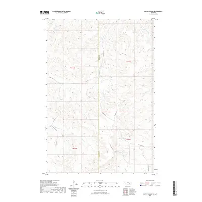 2020 Griffin Coulee SW2020 Print · USGSSoutheastern Montana's ranching country is mapped here in the early twenty-first century, showing the remote borderlands of Treasure and Rosebud Counties. Researchers can trace the winding paths of Reservation Creek Rd and Warren Rd through coulees drained by Blacktail Cr and Bear Cr.
 - 2020 Map of Flat Bottom Coulee NW, 2020 Print
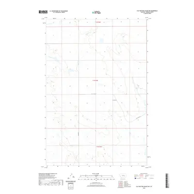 2020 Flat Bottom Coulee NW2020 Print · USGSRosebud County, Montana, is captured in this contemporary study of its expansive ranching landscape. Trace the modern rural road network along Stellar Creek Rd and Aldringer Rd as they navigate toward landmarks like Gold Butte.
 - 2020 Map of Rock Springs School, 2020 Print
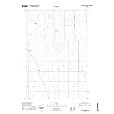 2020 Rock Springs School2020 Print · USGSThe rural expanse of Rosebud and Garfield Counties comes into focus during the early twenty-first century, showcasing a landscape of isolated ranches and critical water sources. Researchers can trace the layout of Rock Springs and find landmarks like Rock Springs School, Kreger Reservoir, and Dirty Woman Cr.
 - 2020 Map of Rudie Coulee, 2020 Print
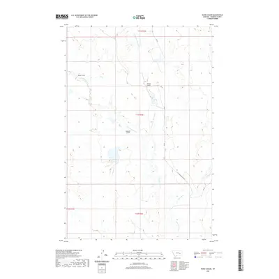 2020 Rudie Coulee2020 Print · USGSRosebud County, Montana, is shown here in the early twenty-first century as a landscape shaped by the intricate drainages of the high plains. Researchers can trace the winding paths of Rudie Coulee, Ryans Fork, and the Little Porcupine Cr.
 - 2020 Map of Hathaway NW, 2020 Print
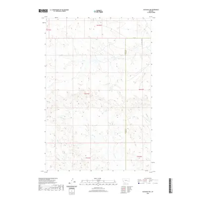 2020 Hathaway NW2020 Print · USGSEastern Montana ranching country is documented here in the early twenty-first century as the landscape straddles the Rosebud and Custer county line. Genealogists and land researchers can trace the drainage basins of Whitetail Cr and Coal Cr alongside rural routes like CO RD 160.
 - 2020 Map of Rough Creek NE, 2020 Print
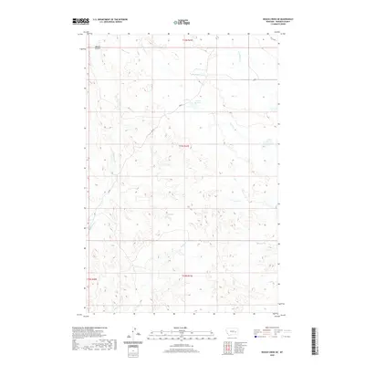 2020 Rough Creek NE2020 Print · USGSRosebud County, Montana, is mapped here in recent years, showing the high-plains ranching country as it exists today. Researchers can trace the essential water sources of the region, from the Trail Cr Reservoir to the winding courses of Wildcat Coulee and S Sunday Cr.
 - 2020 Map of Angela, 2020 Print
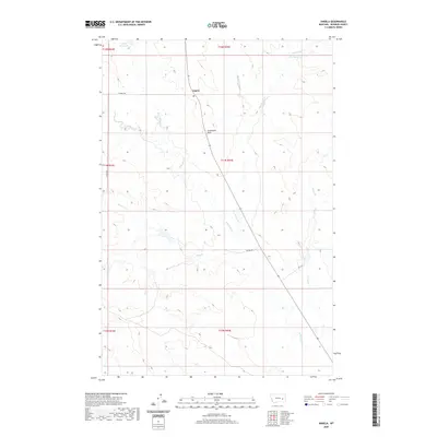 2020 Angela2020 Print · USGSThe rural community of Angela and its surrounding ranchlands are documented here in the early twenty-first century. Genealogists and researchers can trace the local drainage system from Dirty Woman Cr to the landmarks at Steamboat Rock.
 - 2020 Map of Indian Creek, 2020 Print
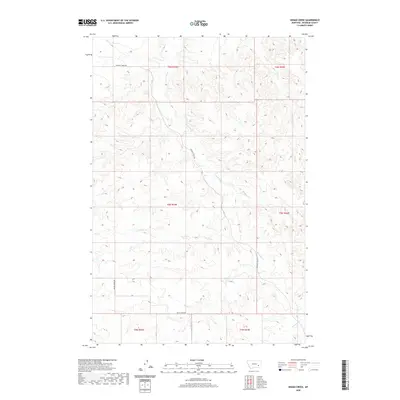 2020 Indian Creek2020 Print · USGSRosebud County, Montana, is shown here in the early twenty-first century, preserving the modern drainage patterns of the high plains. Researchers can trace the winding paths of Indian Cr and Twelvemile Cr or follow the routes of Sweeney Creek Rd and Butte Creek Rd.
 - 2020 Map of Wild Horse Pass SE, 2020 Print
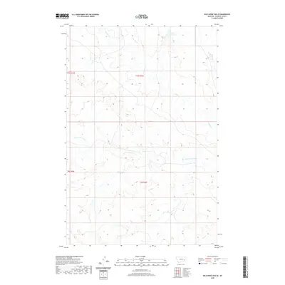 2020 Wild Horse Pass SE2020 Print · USGSRosebud County, Montana, is depicted in the early twenty-first century as a landscape of complex drainage basins. Local researchers can trace the winding paths of Louie and Scottie Cr, S Sunday Cr, and Coal Cr through this ranchland terrain.
Showing maps 1-25 of 252
Top cities of Rosebud County
Frequently asked questions
- What are the different types of historical maps available for Rosebud County?
- What is the oldest map of Rosebud County?
- Where can I purchase historical maps of Rosebud County for my home or office?
- Where can I download high-res historical maps of Rosebud County?
- Are there historical topographic maps available for Rosebud County?
- Is there historical aerial imagery available for Rosebud County?
- Where are historical maps of Rosebud County sourced from?