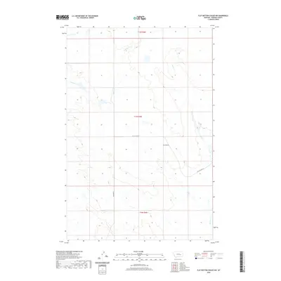
2020 Map of Flat Bottom Coulee NW
USGS Topo · Published 2020About this map
Gold Butte rises as a prominent landmark in this segment of Rosebud County, punctuating a landscape defined by high plains drainage systems. The hydrology of the region is anchored by Stellar Cr in the east and E Blacktail Cr in the northwest, which carve through the undulating terrain. This map captures the modern rural infrastructure of the area, centered on the junction of Stellar Creek Rd and Aldringer Rd. The land is meticulously gridded according to the Public Land Survey System, as seen in the boundaries of t11n r38e, reflecting the orderly distribution of territory in the Montana ranchlands. Though largely open and unpopulated, the placement of these roads and the naming of small buttes suggest the long-standing importance of specific landmarks for navigation and land management in the Big Sky Country.
Find a feature on this map
8 named features on this map. Tap any name to fly to it.
Don’t see what you’re looking for? This feature index may not catch every label — zoom into the map to look around manually.
Map Details
Editions of this 2020 Flat Bottom Coulee NW Map
This is the sole edition of this map. No revisions or reprints were ever made.
Other maps of this area

1954 · Forsyth
USGS Topo · 1:250,000

1957 · Forsyth
USGS Topo · 1:250,000

1958 · Forsyth
USGS Topo · 1:250,000

1960 · Brown Coulee
USGS Topo · 1:24,000

1960 · Zempel Lake
USGS Topo · 1:24,000

1965 · Acorn Flats
USGS Topo · 1:24,000

1965 · Vanstel
USGS Topo · 1:24,000

1965 · Stellar Lake
USGS Topo · 1:24,000

1969 · Flat Bottom Coulee SW
USGS Topo · 1:24,000

1969 · Flat Bottom Coulee NE
USGS Topo · 1:24,000