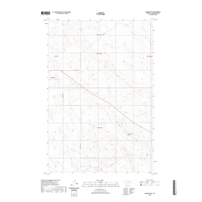
2020 Map of Ingomar East
USGS Topo · Published 2020About this map
Ingomar serves as the focal point of this high plains landscape in Rosebud County, where the settlement pattern follows a network of rural routes and natural drainage systems. The terrain is defined by dramatic erosion features such as Geyser Spring Coulee and Sun Coulee, which cut through the open range. Water sources are vital markers in this semi-arid environment, with the E Fork Froze to Death Cr and Spring Cr providing critical points of reference for local navigation and land use. Secondary roads like Cohagen Rd and Thebes Rd connect isolated outposts across the townships of t10n r35e and t9n r35e, reflecting the sparse but deliberate organization of Montana's ranching country.
Find a feature on this map
22 named features on this map. Tap any name to fly to it.
Don’t see what you’re looking for? This feature index may not catch every label — zoom into the map to look around manually.
Map Details
Editions of this 2020 Ingomar East Map
This is the sole edition of this map. No revisions or reprints were ever made.
Other maps of this area

1954 · Forsyth
USGS Topo · 1:250,000

1957 · Forsyth
USGS Topo · 1:250,000

1958 · Forsyth
USGS Topo · 1:250,000

1960 · Steie Ranch
USGS Topo · 1:24,000

1960 · Hagen Ranch
USGS Topo · 1:24,000

1960 · Ahles
USGS Topo · 1:24,000

1960 · Yablonski Ranch
USGS Topo · 1:24,000

1960 · Thebes
USGS Topo · 1:24,000

1960 · Ingomar West
USGS Topo · 1:24,000

1960 · Ingomar East
USGS Topo · 1:24,000