1970s Maps of Rosebud County, Montana
Explore 33 historic maps of Rosebud County from the 1970s. These maps offer a rare glimpse into what life looked like during the 1970s — showing old roads, neighborhoods, homes, and landmarks that have changed or disappeared over time.
Whether you're researching your family's past, planning a metal detecting trip, or studying how Rosebud County's landscape evolved across the 1970s, these high-resolution maps are a powerful tool for exploring the history of this region.
- Focus on a specific era: All maps on this page are from the 1970s, giving you a focused view of this time period.
- See what’s changed: Compare century-old streets, trails, and buildings to today's modern landscape using overlays and satellite layers.
- Research with precision: Use these maps for genealogy, historical research, land use analysis, or educational projects.
- View, download, or print: Maps are fully viewable online in high resolution, and can be downloaded or printed for your own records.
Start exploring Rosebud County's history through authentic maps from the 1970s. This is your window into the past.
Rosebud County, MT maps
(33)- 1971 Map of Trail Creek School, 1974 Print
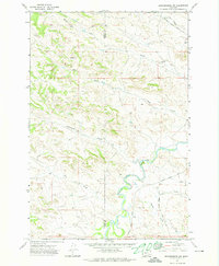
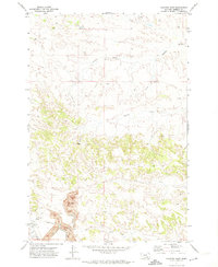
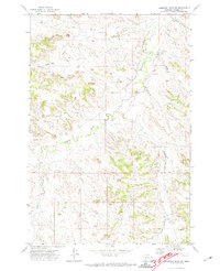
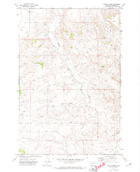
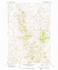
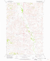
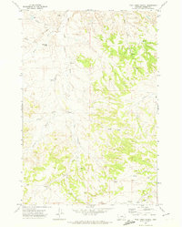 1971 Trail Creek School1974 Print · USGSRosebud County ranching country is captured here in the early seventies, centered on the drainage divides of the Armells and Trail Creek forks. Researchers can locate the Trail Creek School and trace water sources like Robbie Creek and Stocker Creek.
 - 1971 Map of Colstrip SW, 1974 Print
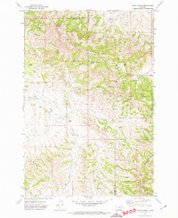
 1971 Colstrip SW1974 Print · USGSEastern Montana cattle and coal country is captured here in the early seventies, showing the intricate drainage of East Fork Armells Creek. Trace the deep coulees of the high plains through landmarks like Richard Spring Coulee, Rape Coulee, and Miller Coulee.
 - 1971 Map of Mc Clure Creek, 1974 Print
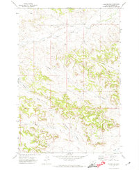
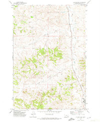
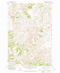
 1971 Mc Clure Creek1974 Print · USGSSouth-central Montana in the early seventies reveals a rugged high-country landscape near the Treasure and Rosebud County line. Trace the remote network of a Landing Strip and Jeep Trails winding through the Little Wolf Mountains and Robbie Creek.2 unique versions available
 - 1971 Map of Griffin Coulee SW, 1974 Print
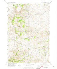
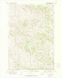
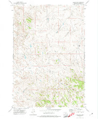
 1971 Griffin Coulee SW1974 Print · USGSThe border of Treasure and Rosebud Counties comes into focus during the early 1970s, showing a landscape defined by ranching and resource exploration. Researchers can trace the paths of Beaver Creek, locate an early Drill Hole, and follow the West North Fork Trail Creek.
 - 1971 Map of Brandenberg NW, 1974 Print
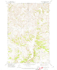
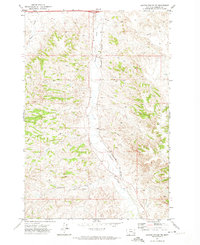
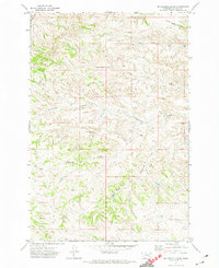
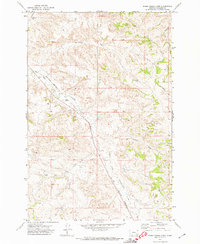
 1971 Brandenberg NW1974 Print · USGSCuster County ranching country and the meandering river valley are captured here in the early 1970s. Researchers can trace land use through features like the Tongue River, various scattered wells, and remote routes such as Moon Creek Road.
 - 1971 Map of Colstrip SE, 1974 Print
 1971 Colstrip SE1974 Print · USGSRosebud County in the early seventies shows a landscape defined by industrial expansion and rural ranching roots. Trace the massive Strip Mine works, the Burlington Northern rail lines, and the quiet grounds of Lee Cem.
 - 1971 Map of Rough Draw, 1974 Print
 1971 Rough Draw1974 Print · USGSRosebud County, Montana, was a ranching landscape of high ridges and deep coulees during the early 1970s. Researchers can trace the drainage of the Little Wolf Mountains via East Fork Armells Creek and locate remote ranch access along the Jeep Trail.
 - 1971 Map of Hammond Draw NW, 1974 Print
 1971 Hammond Draw NW1974 Print · USGSRosebud County ranchlands and creek beds come to life in the early 1970s as the landscape is mapped for grazing and local water rights. Trace the winding paths of Rosebud Creek and Pony Creek, or find early industrial markers like the northern Gravel Pit.
 - 1971 Map of Colstrip East, 1974 Print
 1971 Colstrip East1974 Print · USGSRosebud County industrial history comes into focus in the early 1970s as coal extraction expands around Colstrip. Researchers can trace the massive Strip Mine operations and the Burlington Northern rail lines alongside local landmarks like the Rodeo Ground.
 - 1971 Map of Hammond Draw, 1974 Print
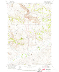
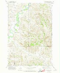
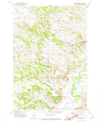 1971 Hammond Draw1974 Print · USGSThe Tongue River valley in the early seventies shows a landscape shaped by water and time. Genealogists and researchers can trace local landmarks like Trembling Butte, Hammond Draw, and the Tongue River gaging station.
 - 1971 Map of Griffin Coulee NE, 1974 Print
 1971 Griffin Coulee NE1974 Print · USGSThe Rosebud County cattle and rail country comes into focus in the early seventies, showing a landscape shaped by water and industry. Trace the path of the Burlington Northern railroad alongside Armells Creek or locate the remote Spring and Gravel Pit.2 unique versions available
 - 1971 Map of Smith Creek NE, 1974 Print
 1971 Smith Creek NE1974 Print · USGSEastern Montana ranch land is captured in the early 1970s, showcasing the intricate drainage systems of Rosebud County. Researchers can trace remote water sources and land use through Slaughterhouse Creek, Wildcat Coulee, and numerous backcountry wells.
 - 1971 Map of Hammond Draw SW, 1974 Print
 1971 Hammond Draw SW1974 Print · USGSRosebud County ranching country is captured here in the early seventies, centered on the winding Rosebud Creek. Researchers can locate small family landmarks like Bear Cem and Brown Cem or trace the path of Greenleaf Creek.
 - 1971 Map of Sarpy School, 1974 Print
 1971 Sarpy School1974 Print · USGSBig Horn and Rosebud Counties meet in this Montana cattle country during the early seventies, where the Little Wolf Mountains rise above the plains. Researchers can locate the Sarpy School and trace the paths of Black Hank Creek and East Fork Sarpy Creek.
 - 1971 Map of Colstrip West, 1974 Print
 1971 Colstrip West1974 Print · USGSThe Rosebud County landscape in the early seventies shows the industrial expansion near Colstrip as coal mining infrastructure began to grow. Trace the Burlington Northern rail line alongside East Fork Armells Creek and locate numerous early Well sites.
 - 1971 Map of John Hen Creek, 1974 Print
 1971 John Hen Creek1974 Print · USGSRosebud County ranching and resource land is captured here in the early 1970s, showcasing a landscape of winding coulees and high points like Gobblers Knob. Researchers can trace old water sources and exploration sites like Spring Creek, several wells, and a Drill Hole.
 - 1971 Map of Indian Creek, 1974 Print
 1971 Indian Creek1974 Print · USGSRosebud County cattle country remains a rugged expanse of high plains and deep coulees in the early 1970s. Researchers can trace remote ranching infrastructure through local landmarks like Indian Creek, the path of Sweeney Creek, and isolated Well sites.
 - 1971 Map of Smith Creek, 1974 Print
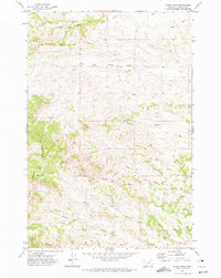
 1971 Smith Creek1974 Print · USGSRosebud County during the early seventies reveals a landscape shaped by ranching and resource management just outside the local hub of Forsyth. Trace the water-dependent economy of the era through sites like Slaughterhouse Prong, the Forsyth Country Club, and various Stock Dam markers.
 - 1971 Map of Crain Place, 1974 Print
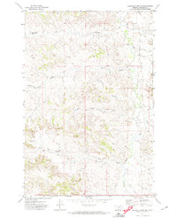
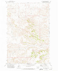
 1971 Crain Place1974 Print · USGSRosebud County ranching country is documented here in the early seventies, showing a landscape defined by seasonal water and isolated outposts. Trace the remote Crain Place and family-named landmarks like Barrot Spring or the winding Eagle Creek.
 - 1971 Map of Mc Kerlich Creek, 1974 Print
 1971 Mc Kerlich Creek1974 Print · USGSRosebud County ranching lands are captured in the early seventies, showing a landscape defined by coulees and creek forks. Trace family-named geography and land features like Mc Kerlich Creek, Chicken Coop Coulee, and Shearing Pen Coulee.
 - 1971 Map of Rosebud Buttes, 1974 Print
 1971 Rosebud Buttes1974 Print · USGSRosebud County ranching country is captured here in the early 1970s, showcasing a landscape of high ridges and vital water sources. Researchers can locate specific sites like a lone Grave, several isolated Wells, and the prominent Rosebud Buttes.
 - 1971 Map of Sheep Creek Camp, 1974 Print
 1971 Sheep Creek Camp1974 Print · USGSRosebud County, Montana, was a landscape of remote ranching camps and railroad commerce in the early seventies. Genealogists and historians can trace the paths of the Burlington Northern line and locate sites like Sheep Creek Camp and Armells.
 - 1971 Map of Griffin Coulee, 1974 Print
 1971 Griffin Coulee1974 Print · USGSRosebud County, Montana, was a landscape of remote ranching and emerging energy infrastructure in the early 1970s. Trace old homesteading roots at Gillin Ranch or follow the path of the Burlington Northern railroad and the local Pipeline.
 - 1971 Map of Brandenberg, 1974 Print
 1971 Brandenberg1974 Print · USGSThe Tongue River valley meets the rugged breaks of Custer County in the early 1970s. Trace local landmarks like Brandenberg, find the isolated Grave near Goodale Creek, and follow the winding path of Beaver Creek Road.
 - 1971 Map of Mitchell Coulee, 1975 Print
 1971 Mitchell Coulee1975 Print · USGSRosebud County ranching country is captured here in the early seventies, showing a landscape shaped by water and wind. Researchers can trace the winding course of Rosebud Creek and locate several remote Well sites and coulees like Mitchell Coulee.
Showing maps 1-25 of 33
Top cities of Rosebud County
Frequently asked questions
- What are the different types of historical maps available for Rosebud County?
- What is the oldest map of Rosebud County?
- Where can I purchase historical maps of Rosebud County for my home or office?
- Where can I download high-res historical maps of Rosebud County?
- Are there historical topographic maps available for Rosebud County?
- Is there historical aerial imagery available for Rosebud County?
- Where are historical maps of Rosebud County sourced from?